Imagen
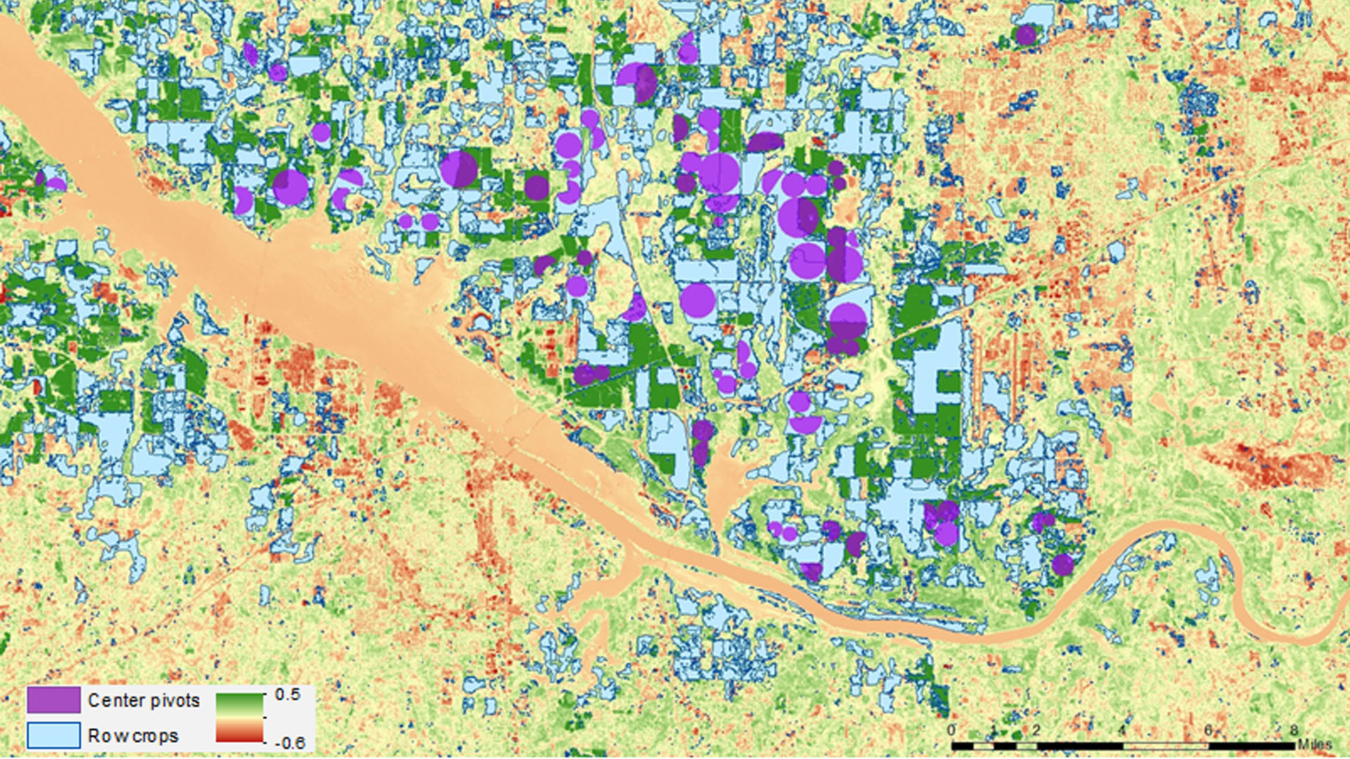
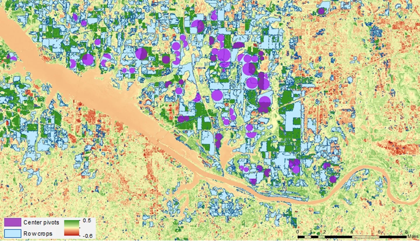
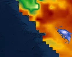
Drought in Alabama has a major impact on agriculture, causing crop yields to fall well below their normal numbers throughout the state. This project researched drought conditions experienced in 2012 and 2016 and the impact the conditions had on corn production. The Alabama Office of the State Climatologist (AOSC) currently uses the Gridded Decision Support System for Agrotechnology Transfer (GriDSSAT) Crop Model to examine the cost, benefit, and impact of irrigating crops; however, the addition of multiple vegetation and drought indices can enhance drought monitoring and the decision-making process. This project creates a time series of Alabama with the determined superior index using Landsat 5 TM and Landsat 8 OLI from March through September of 2012 and 2016 with the relatively wet year of 2010 as a base comparison from. The resulting products were compared to GriDSSAT to further analyze vegetation and drought conditions. The project assessed several vegetation and drought indices, such as NDVI, NMDI, NDWI, NDMI and the GRVI to determine the best drought indicator for the study area. Additionally, the project uses an Alabama irrigation shapefile along with the different indices to determine what, if any, impact center pivot irrigation has on crop health during droughts.