Imagen

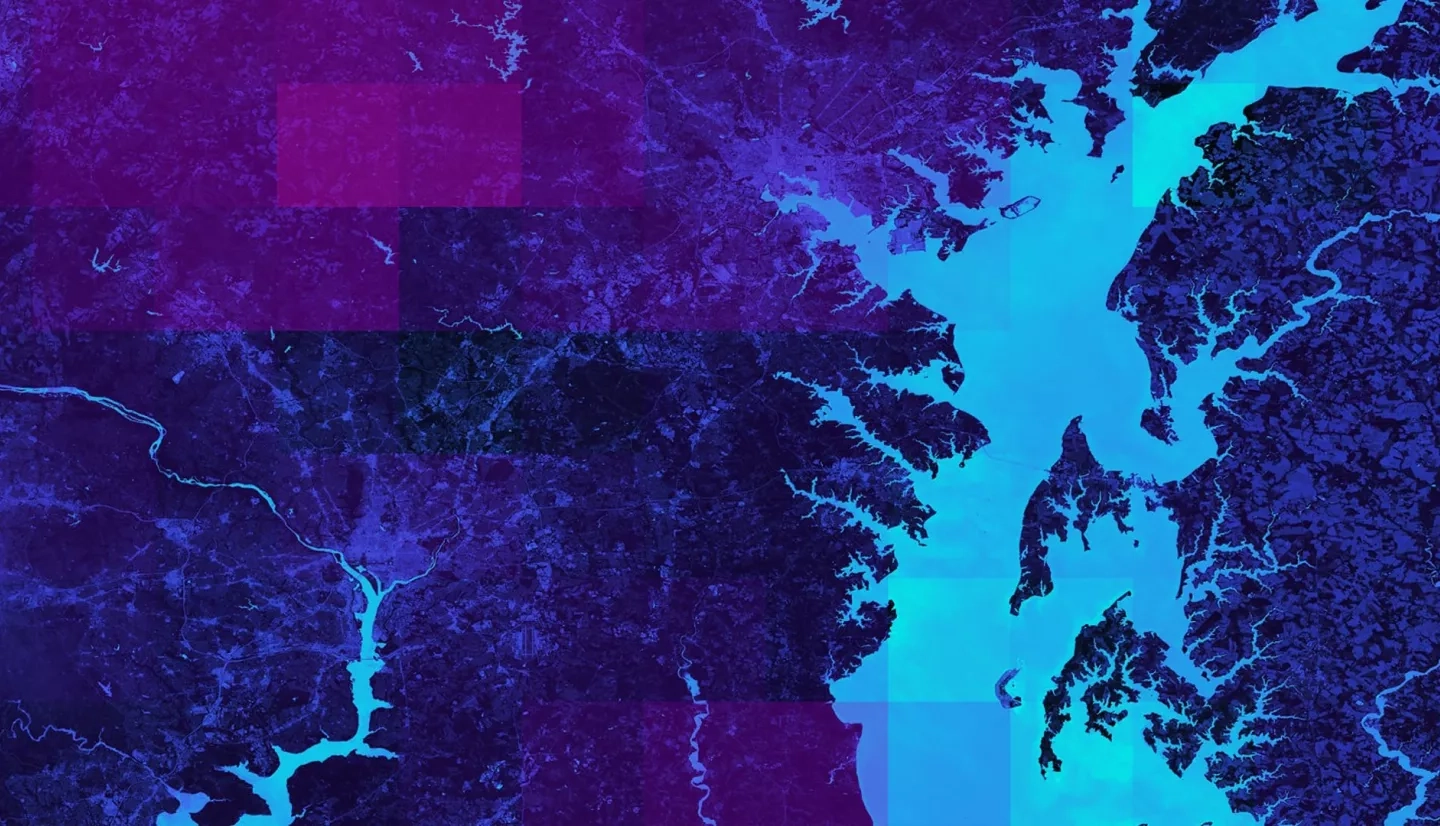
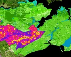
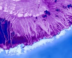
As flooding events in the United States grow in frequency and intensity, the use of technological advancements and applied science is increasingly necessary for effective flood monitoring and warning systems. Governments are exploring new ways of using science and technology to solve public safety and environmental problems. The NASA DEVELOP Ellicott City Disasters project investigated two extreme flood events in 2016 and 2018 within Ellicott City, Maryland. The project supported the efforts of the Howard County Office of Emergency Management (OEM) and represents the first step in improving early warning system capabilities using open data and NASA Earth observations. The resultant flood model (“Flood Learning Model Environment&rdqou; or FLuME) evaluated the statistical significance of features engineered from NASA resources such as North American Land Data Assimilation System (NLDAS) and Soil Moisture Active Passive (SMAP), and utilized stream gauge data from the Department of Homeland Security, OEM, and the United States Geological Survey. The project products included data visualizations and a model framework for exploring factors influencing flood severity. The model was trained on two years of discharge data and was subsequently used to hindcast the May 2018 flood of Ellicott City. This exploratory analysis informs OEM decision-making processes and will help the county effectively allocate monitoring technology within the Patapsco watershed, thereby increasing public safety and reducing risk.