IDAHO WILDFIRES (Summer 2022)
Team: Ford Freyberg (Project Lead), Carson Schuetze, Jessica Hiatt, Brenner Burkholder
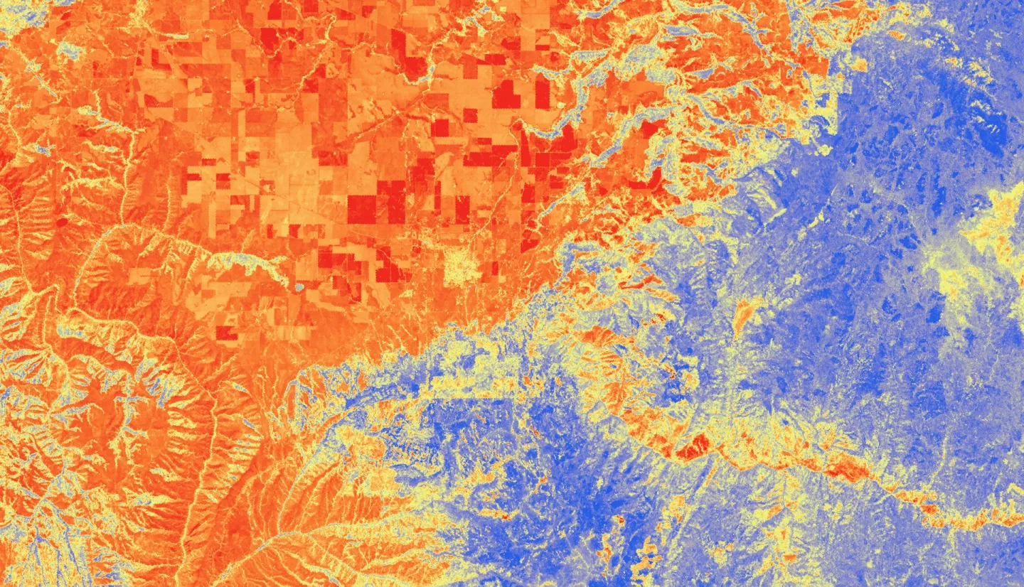
Summary: Escalating severity and frequency of drought and wildfire call for effective and cost-efficient mitigation planning and monitoring protocols. The Palouse ecoregion, an agricultural epicenter in North-central Idaho, is of particular concern as both drought and wildfire present substantial economic threats. The DEVELOP team implemented Earth observation data to assist the Idaho Office of Emergency Management, Idaho Department of Water Resources, and Idaho Department of Lands in updating the state’s Hazard Mitigation Plan by enhancing their drought and fire monitoring capabilities. The team utilized Landsat 8 Operational Land Imager (OLI), and Aqua and Terra’s Moderate Resolution Imaging Spectroradiometer (MODIS), along with ancillary datasets, to assess drought indicators and map hazard susceptibility. The team upgraded the state’s current fire hazard model by updating existing data layers and adding drought indicator data to support partners’ continued assessment of fire hazard conditions. The team observed Evaporative Demand Drought Index (EDDI) spikes during the highest fire occurrence and burned area years in the study period: 2015 and 2021. Models from dry, high fire occurrence and burned area year 2015 outperformed models from mesic, low fire occurrence and burned area year 2016. The increased understanding of drought conditions and fire susceptibility in this ecosystem will assist partners in improving land management practices.


