Mesoamerica Ecological Forecasting (Fall 2022)
Team: Hanna Jung (Deliverables Lead), Ross Kalter (Technical Lead), Ameilia Untiedt, Cristina Villalobos-Heredia
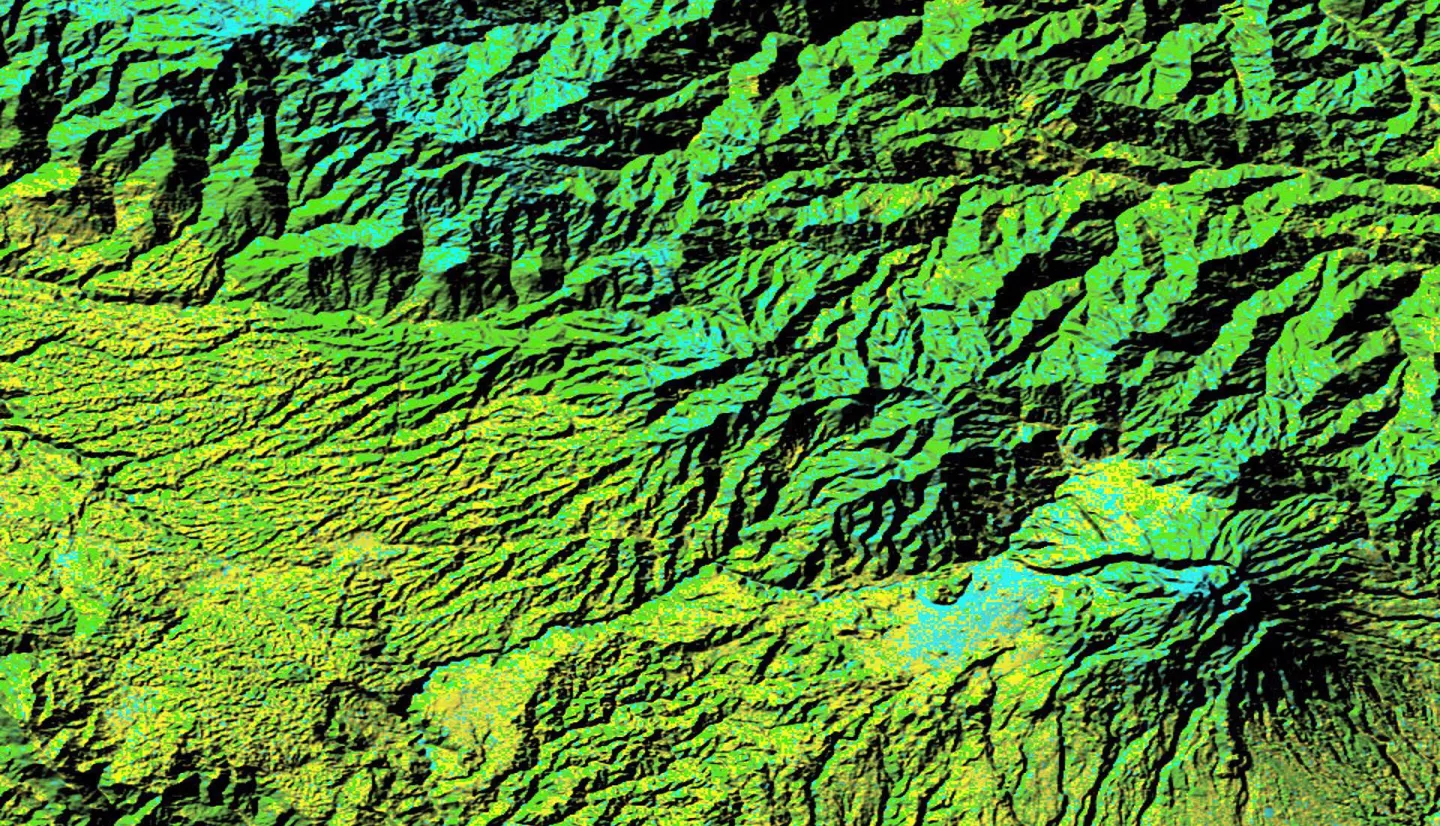
Summary: In 1992, Central America and Mexico drew up an agreement to establish the Mesoamerican Biological Corridor (MBC) which defines natural corridors to connect nearly 600 protected areas. The MBC is home to 9% of the world's terrestrial species on 0.7% of the world's landmass, yet this biodiverse area has been impacted by great levels of deforestation. The MBC supports protected areas and the important conservation efforts that are tied into the area’s economic and sustainable development. The NASA DEVELOP team partnered with NASA SERVIR, Sistema de la Integración Centroamericana (SICA), Tropical Agriculture Research and High Education Center (CATIE), and Ministries of the Environment for Costa Rica, El Salvador, and Guatemala to assess forest cover change in the MBC. While the southern states of Mexico are included in the MBC, the team excluded Mexico in this study. The team acquired data from Landsat 5 Thematic Mapper (TM), Landsat 7 Enhanced Thematic Mapper Plus (ETM+), Landsat 8 Operational Land Imager (OLI), and Landsat 9 OLI-2 to develop a forest versus non-forest classification. This classification was used to create a Land Use Land Cover Change (LULC) trend map and Deforestation Detection Time Series analysis between 1992 and 2022. The team found that minimum distance classification was the most effective classifier for the project scope. Analysis showed that 6.18% of the study area experienced forest loss and 10.99% experienced forest growth. These observations will help partners visualize the evolution and severity of deforestation and allow decision-making for future land management and transboundary conservation efforts.
Related Impact