Imagen
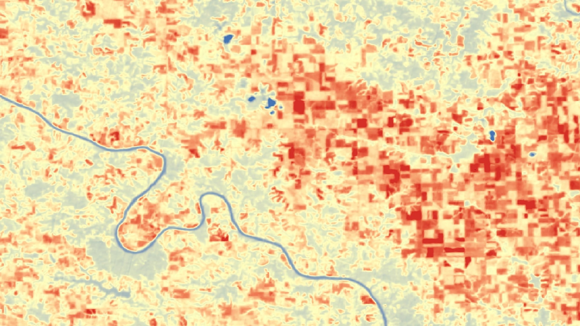
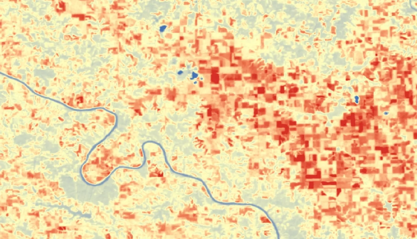
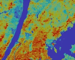
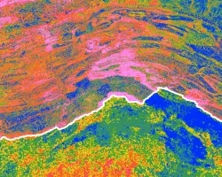
Iowa dedicates 92% of its land to agriculture, leaving the state economically and culturally vulnerable to drought. Current climate trends show increasing temperatures and decreasing precipitation levels, which are environmental factors that put stress on vegetation and force farmers to rely on dwindling aquifers for crop irrigation. It is difficult to identify droughts until plants show signs of stress, by which time the chance of recovery drops drastically. The Iowa Climatology Bureau (ICB) in the Iowa Department of Agriculture and Land Stewardship (IDALS) is responsible for identifying areas experiencing drought and alerting decision makers of emergency situations. The team used remote sensing data from the International Space Station (ISS) ECOsystem Spaceborne Thermal Radiometer Experiment on the Space Station (ECOSTRESS) Evaporative Stress Index (ESI), Suomi National Polar-orbiting Partnership (NPP) Visible Infrared Imaging Radiometer Suite (VIIRS), and Landsat 8 Thermal Infrared Sensor (TIRS) to determine the feasibility of detecting droughts sooner. A statewide drought analysis was conducted using the Atmosphere-Land Exchange Inverse (ALEXI) Evaporative Stress Index (ESI). The team compared their new techniques with existing methodologies to determine if NASA Earth observations can enhance the partner’s current drought analysis procedures. The team determined that the higher temporal and spatial resolution of ESI products provide finer details of drought conditions. The ICB will be able to use these tools to supplement its current drought-tracking methods.