Imagen
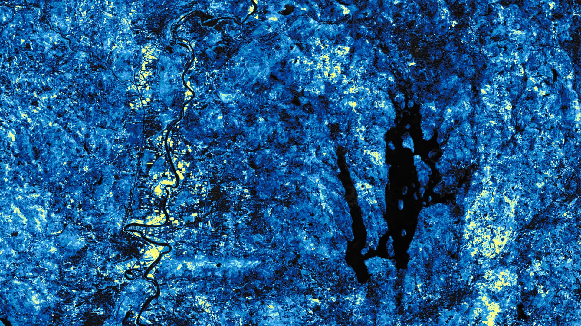
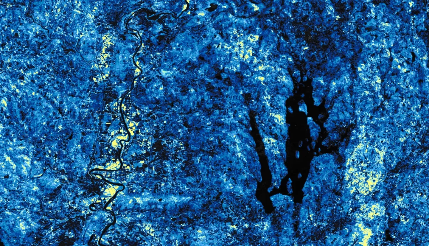
North American beavers (Castor canadensis) are returning to Massachusetts after overhunting decimated their populations in the 1700s. Current regulations have allowed this species to recolonize, resulting in increasingly prevalent human-beaver conflicts. These ecosystem engineers can quickly change their environment through the creation of dams, leading to floods that can adversely affect human infrastructures, such as basements, roads, or septic systems. Conversely, beaver dams can positively influence their environment, modifying the physical and chemical properties of streams and providing crucial habitats to a variety of wildlife. The 2020 Spring Boston NASA DEVELOP team collaborated with the Massachusetts Audubon Society to support their efforts in monitoring beaver impacts and managing human-beaver conflicts. The project-utilized data from Landsat 5 Thematic Mapper, Landsat 7 Enhanced Thematic Mapper Plus, and Landsat 8 Operational Land Imager to map the spectral signature created from beaver-induced flooding. The team created a tool called Beaver-Flood Event Detector (B-FED) in Google Earth Engine using imagery from 1985 to 2019. Ancillary datasets were incorporated into B-FED that allow the tool to highlight flood events in wetland areas and in situ observations of beaver presence. Beaver observations in or near flooded areas indicated likelihood that the flood was beaver induced. Time series and animations were also produced to display key regions of landscape change across Massachusetts. B-FED will allow the partner to identify and assess potential ecosystem changes and infrastructural impacts from beavers across Massachusetts and inform future management practices.