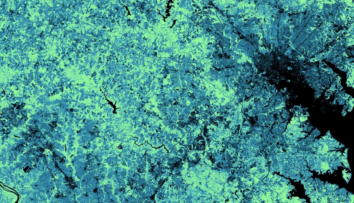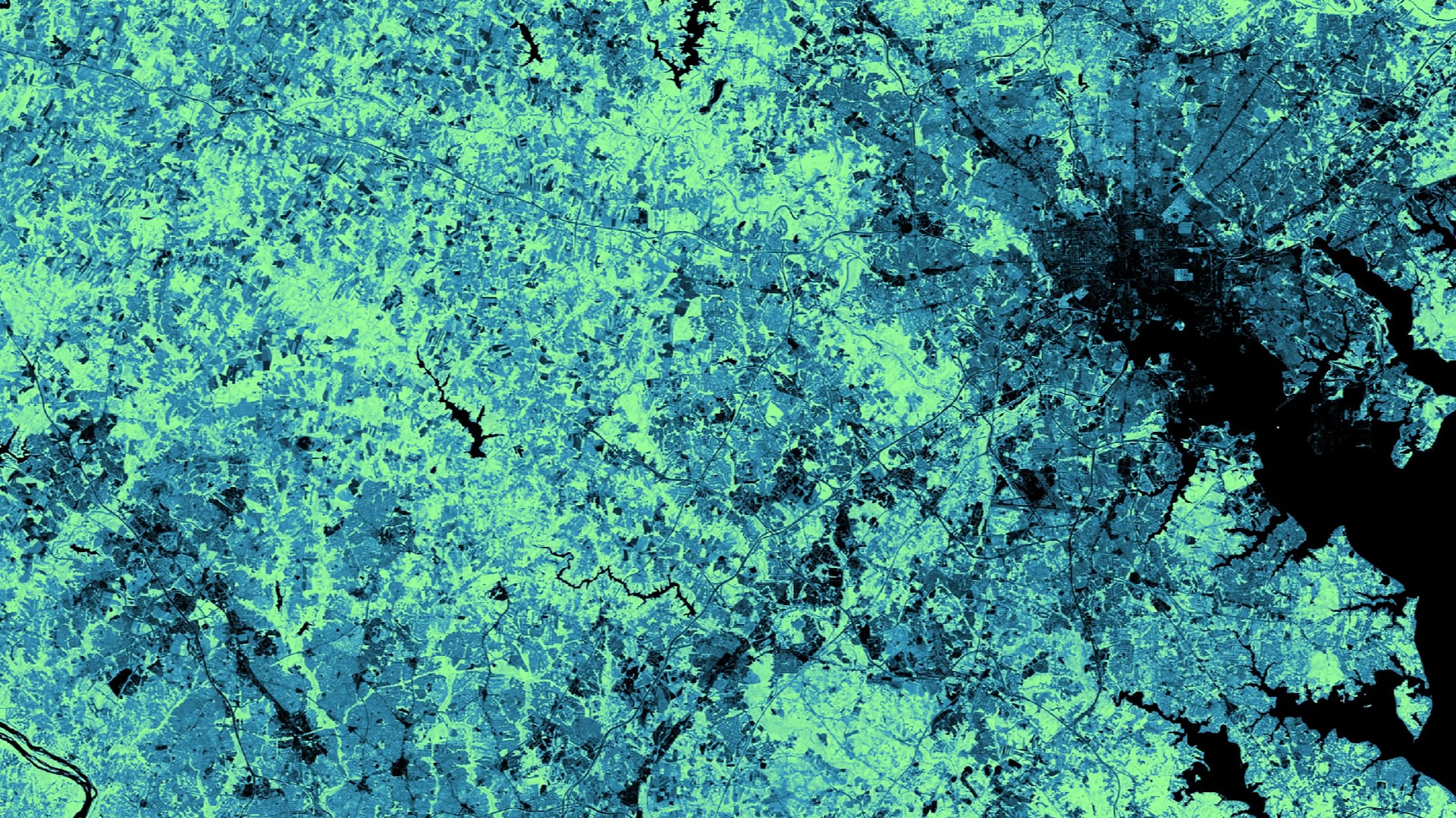
The Patuxent Reservoirs Watershed, in Howard, Montgomery, and Prince George’s Counties in Maryland, is a significant source of water supply for the greater Washington, D.C., metropolitan area. The Patuxent Reservoirs Watershed Protection Group Technical Advisory Committee (PRWPG TAC) monitors water quality and releases annual reports in order to provide management recommendations to policymakers for reducing pollutant loads. However, more comprehensive data is needed to understand the relationship between water quality and land use change, as inconsistent data availability across the municipal boundaries of the watershed inhibits a holistic land use and land cover (LULC) assessment. To address this concern, the team created synthesized LULC raster datasets by aggregating data from the United States Geologic Survey (USGS) National Land Cover Database (NLCD), the National Oceanic and Atmospheric Administration (NOAA) Coastal Change Analysis Program (C-CAP), the United States Department of Agriculture (USDA) Cropland Data Layer (CDL), and NASA Earth observations. The team calculated annual LULC classification trends from 2008 to 2018 and mapped LULC change on five-year intervals from 1996 to 2016 to analyze overall spatiotemporal trends for the watershed. Team members also compared the synthetic LULC dataset to independently generated LULC maps provided by the PRWPG TAC for 2002 and 2010. The new synthetic raster provides greater specificity in terms of agricultural, wetland, and urban land cover classes. The maps allow the PRWPG TAC to assess the relationship between LULC changes and water quality. In addition, this method of map synthesis gives an easy and economical method for creating LULC datasets in the future.
