Chile Disasters (Spring 2022)
Team: Maria De Los Santos (Project Lead), Cooper Campbell, Karen Alvarez, Hannah Ferriby
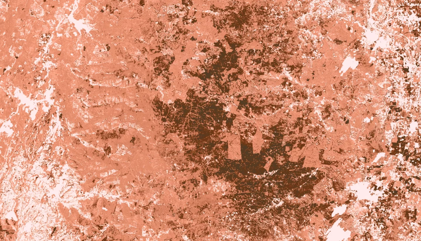
Summary: Wildfires in Chile in the last decade were the worst on record, destroying homes and livelihoods, polluting the air, and displacing whole towns. To predict locations where wildfires were likely to start, the Corporación Nacional Forestal (CONAF) created a wildfire risk model within ArcGIS Pro and Google Earth Engine (GEE) that utilized the NOAA Global Forecast System (GFS) and the NASA Shuttle Radar Topography Mission (STRM) 90-meter datasets. The previous CONAF model was very resource-heavy and time-intensive to run. NASA DEVELOP, in partnership with CONAF, automated the previous model and transferred it fully into GEE where all Earth observation datasets could be used without downloading. The new model substantially reduced the runtime. The final model was used to create a near real-time wildfire monitoring application as well as fire severity maps. The end products will be used by CONAF for wildfire prediction and management to prevent more destruction in the future.
Related Impact