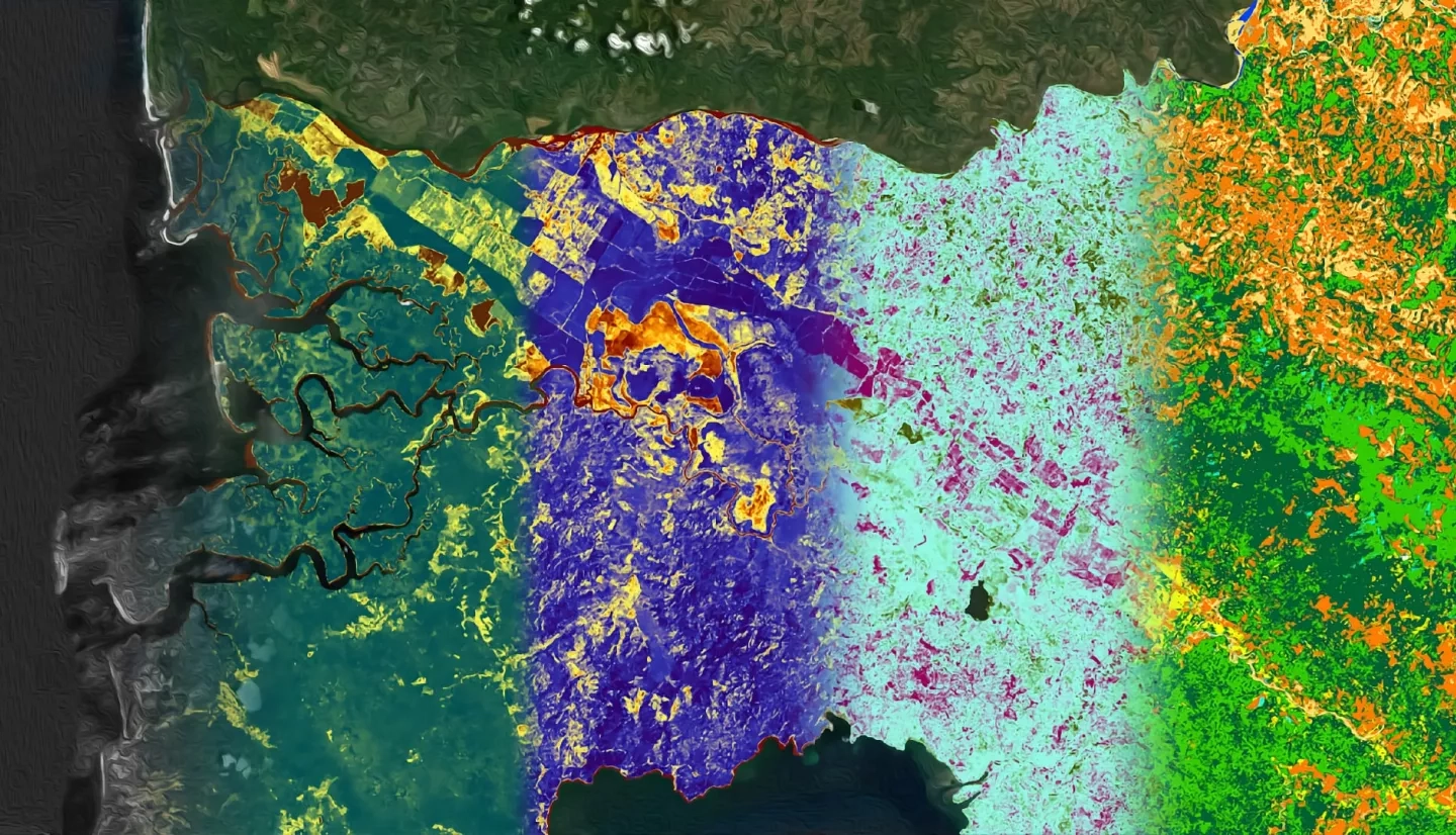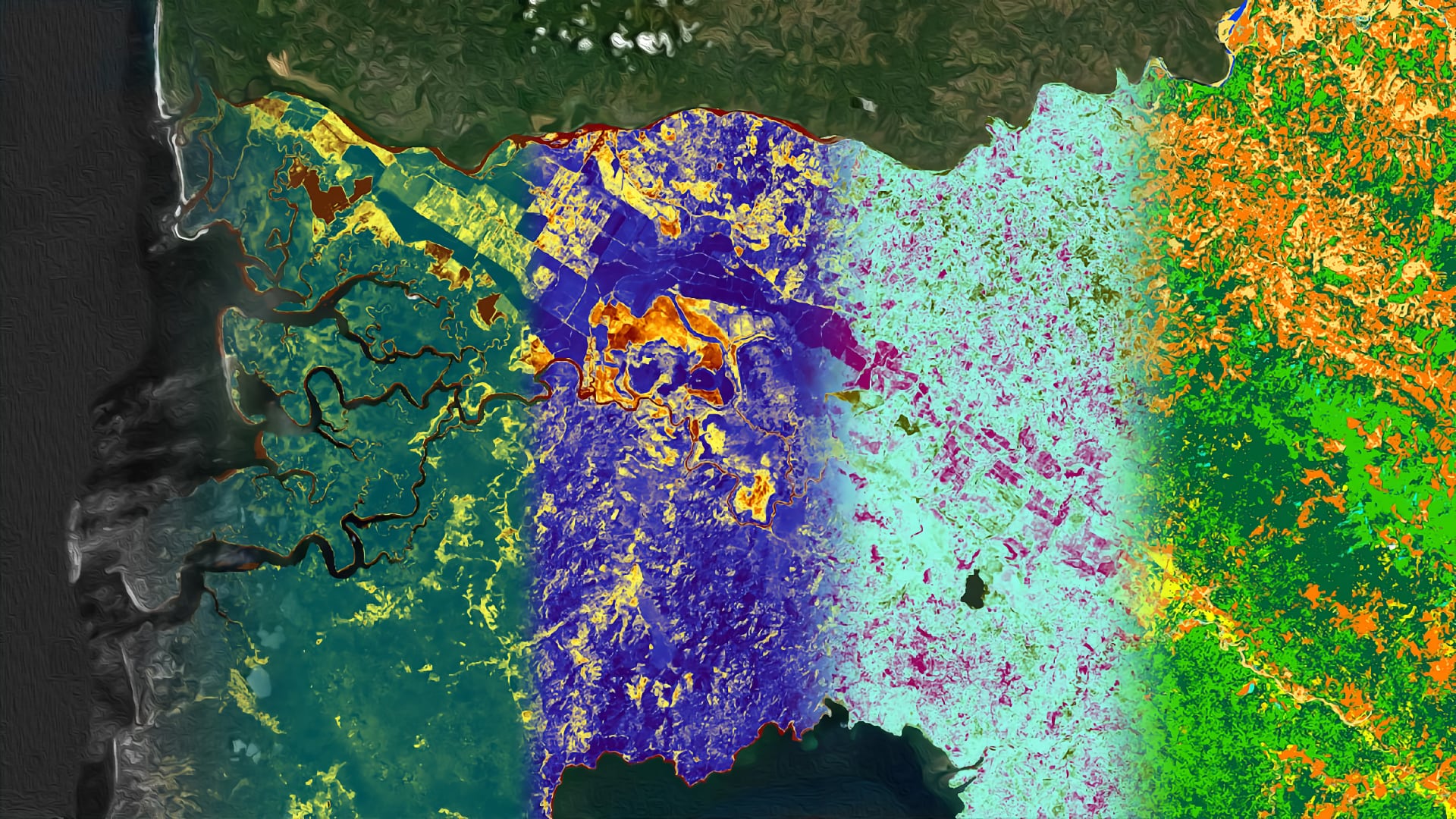
Costa Rica contains many diverse environments, including La Amistad International Peace Park in the Talamanca Mountains and Corcovado National Park on the Osa Peninsula. Jaguars (Panthera onca) can be found throughout these two parks, but urbanization and agricultural development have fragmented habitats, isolating these populations. As a result, this apex predator and keystone species, is endangered throughout the country. NASA DEVELOP partnered with the Arizona Center for Nature Conservation – Phoenix Zoo and Osa Conservation to design a jaguar corridor between these two protected areas to connect isolated populations by linking habitat fragments, facilitating movement. This project used Landsat 5 Thematic Mapper (TM), Landsat 8 Operational Land Imager (OLI) and PlanetScope satellite imagery to assess historical vegetation health and classify current land use and land cover. Forecasting classifications to 2030 identified potential risk areas for agricultural expansion, increased development, preserved habitat fragments, and human-jaguar conflict. This land use trend analysis informed a suitability assessment for the implementation of a jaguar corridor.
