Imagen
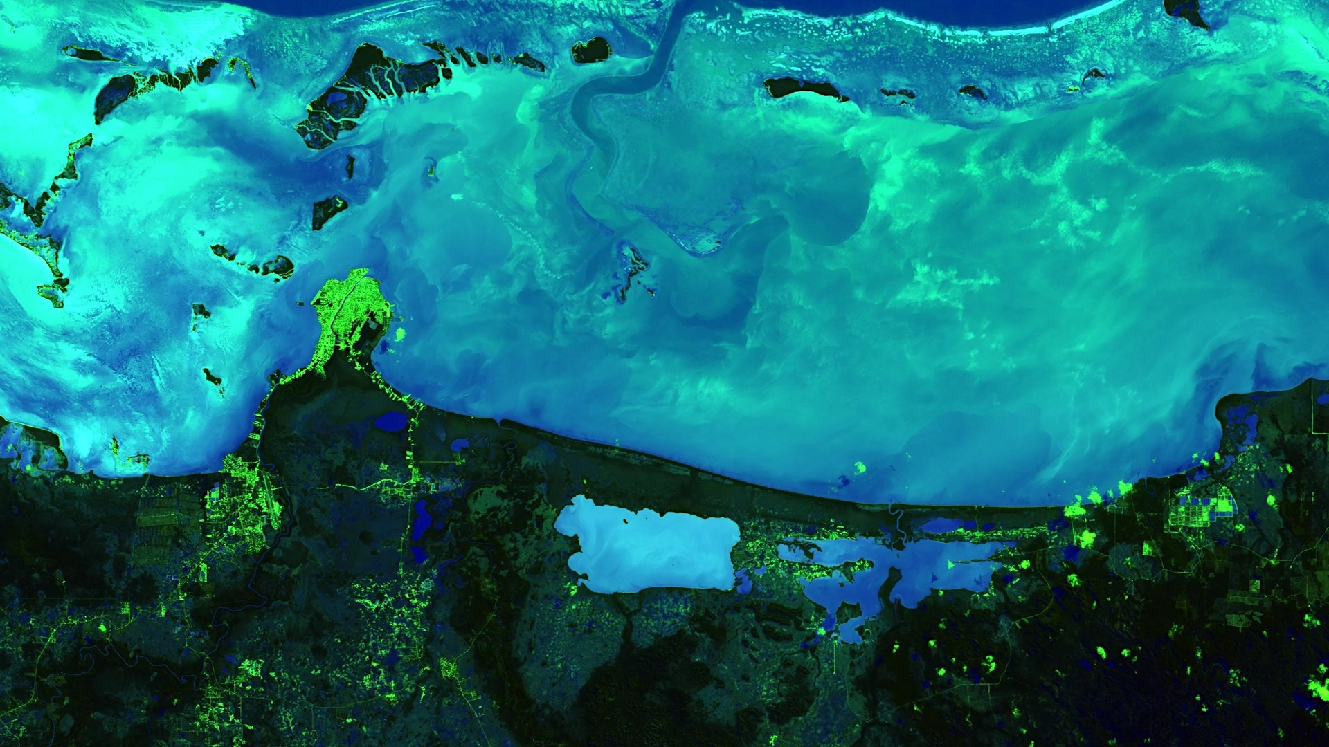
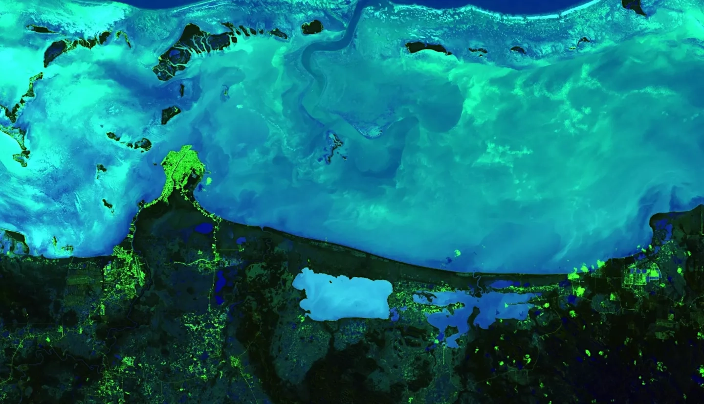
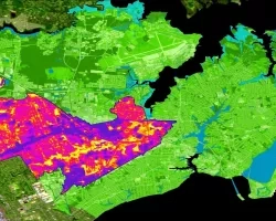
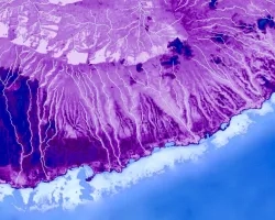
The Mesoamerican reef is a biodiverse ecosystem that stretches more than 600 miles along four Central American coasts and is the longest barrier reef in the western hemisphere. The national economies of Belize and Honduras heavily depend on the commercial, recreational, and subsistence fishing services the reef supplies. While the reef has benefitted from sustainable collaborative management practices, ecosystem stress resulting from the destruction of coastal habitats and overfishing threatens its diverse communities and ecological functions. The Belize & Honduras Water Resources II team at NASA Jet Propulsion Laboratory partnered with the Secretaría de Recursos Naturales y Ambiente (Honduras), the Comisión Centroamericana de Ambiente y Desarrollo, the Coastal Zone Management Authority and Institute (Belize), and the Wildlife Conservation Society to continue developing the Optical Reef and Coastal Area Assessment (ORCAA) tool in Google Earth Engine to monitor and evaluate water quality changes and advise coastal management decisions. The tool incorporates Earth observations from Landsat 8 Operational Land Imager (OLI), Sentinel-2 Multispectral Instrument (MSI), and Aqua and Terra Moderate Resolution Imaging Spectroradiometer (MODIS). ORCAA outputs maps and time series graphs of turbidity, sea surface temperature, chlorophyll-a, and colored dissolved organic matter concentrations from 2013 onward, which our partners will use to identify reef degradation, pass coastal resource regulations, and establish protected zones along the reef. These maps will better enable our partners to address declining water quality conditions through policy initiatives and maintain the environmental and economic health of the region.