Imagen
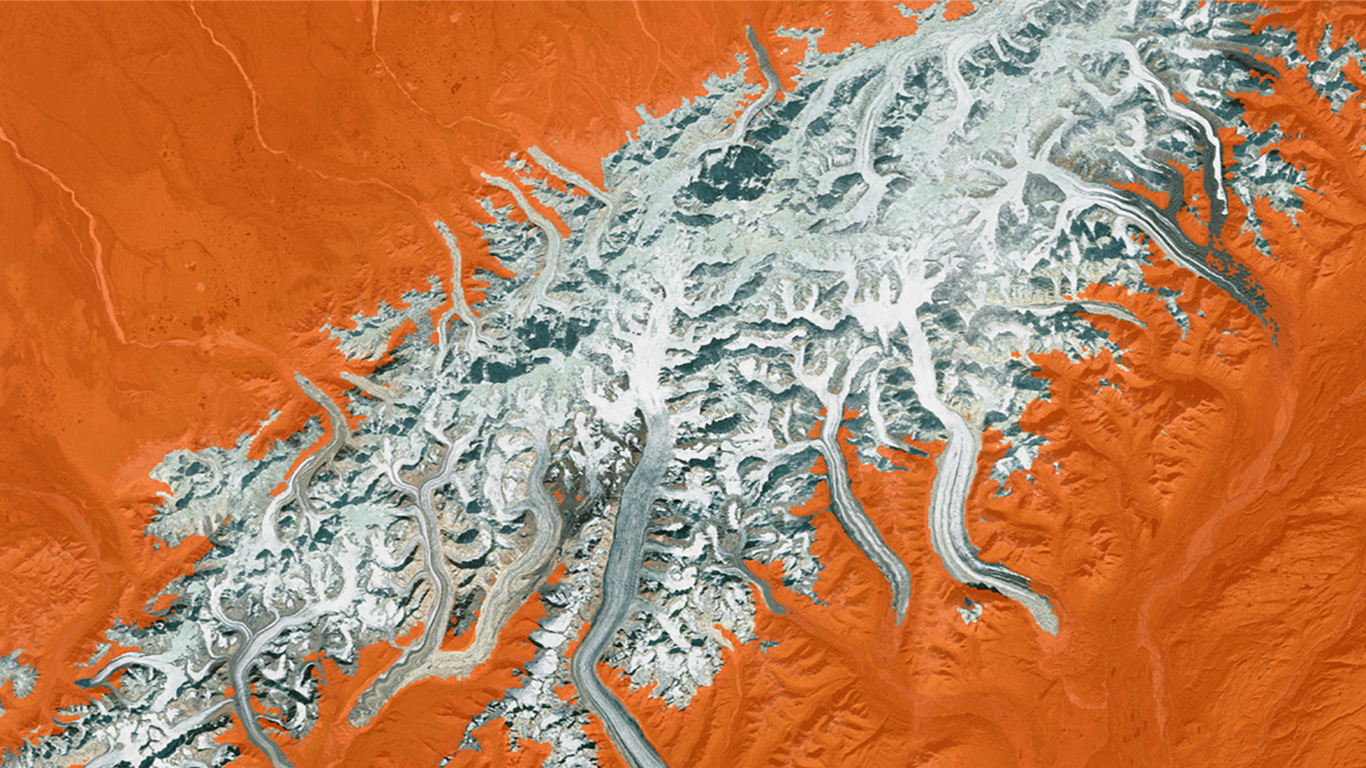
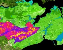
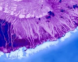
Alaska is warming twice as fast as the rest of the nation due to changes in the climate, causing shorter winters, thawing permafrost, and rapidly receding glaciers. All of these weather changes are lengthening wildfire seasons and increasing the number of wildfires experienced by the state. Due to a current lack of actionable-data, the Alaska Interagency Coordination Center (AICC) and fire risk managers have difficulty determining when various areas within Alaska become snow-free and necessitate fire risk assessment. This project used NASA and NOAA satellite data to inform and improve the current snow monitoring processes of the AICC. The DEVELOP team used MODIS Normalized Difference Snow Index data to map snow cover extent and create a near real-time tool to monitor snowmelt and aid wildfire managers in determining locality for future fire risks. The team also utilized Snow Cover Extent - Climate Data Record (SCE-CDR) to study climatological trends in historic seasonal snow cover melt to provide analysis of historic changes and trends in snowmelt. The results of this study give users the capacity to visualize maps of snow cover melt at a higher spatial resolution than previously utilized. These results will be distributed to and used by the AICC and the National Weather Service Alaska Region to mitigate wildfire risk.