Compared to other hazards such as floods and earthquakes, landslides are small, making them more challenging to observe. As a result, there has been no global network for determining when they might occur. Despite their size, landslides are a pervasive hazard – killing thousands of people each year – yet researchers remain unaware of many events because reporting systems in many locations are non-existent.
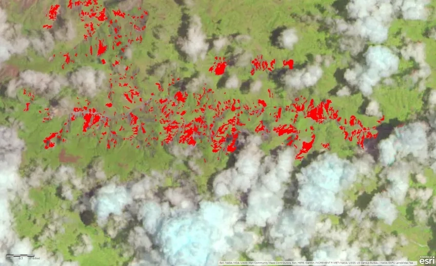
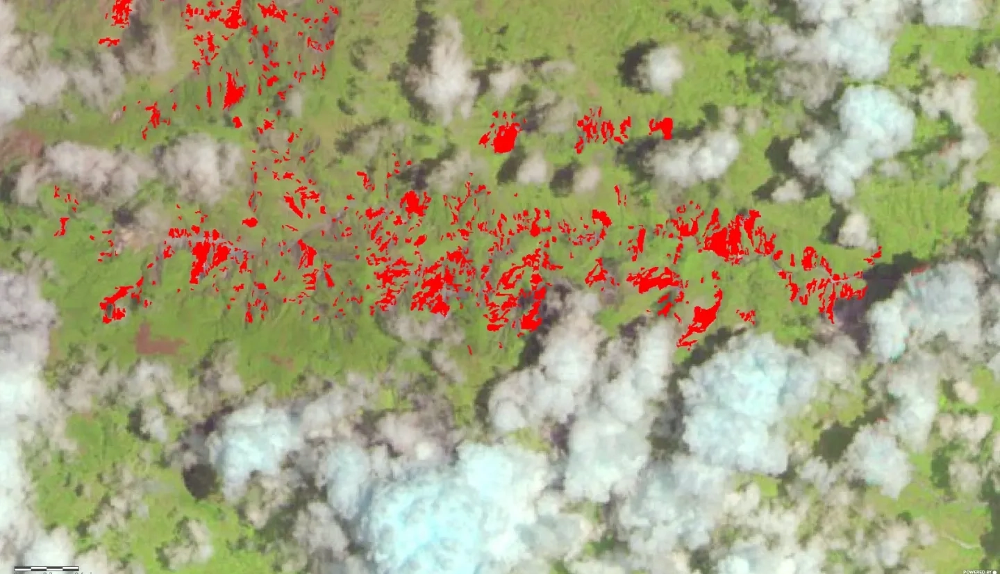
Dalia Kirschbaum’s A.37 project, “Enabling Landslide Disaster Risk Reduction and Response Throughout the Disaster Life Cycle with a Multi-Scale Toolbox,” is advancing landslide hazard assessment and forecasting using machine learning models, satellite data, model products, and post-event information that describes where landslides have taken place. The project is also developing new modeling capabilities to map where landslides have happened and understand the geophysical characteristics leading to such events. Kirschbaum and her team’s work is pioneering as it addresses the landslide lifecycle using physical, empirical, and machine learning approaches and provides the only open-source, continually updating model of rainfall-triggered landslide hazards available in near real-time across most of the world.
Learn more about NASA landslide research at landslides.nasa.gov
Full Description
Landslides globally cause loss of life and lasting damage to critical infrastructure. A major rainfall or earthquake can trigger tens of thousands of landslides, compounding losses from damage to transportation networks that inhibit disaster response, resulting in cascading effects such as flooding and debris hazards. Despite their ubiquitous nature in many natural disaster scenarios, there is little integration of pervasive landslide impacts throughout the complete landslide disaster life cycle, including preparation, recovery and mitigation.
This proposal supports key decision-making and resilience-building capabilities related to landsliding for a wide range of stakeholder partners, as well as publicly served data and models that will be available through partner websites. Our team will advance landslide forecasting using predictive models, satellite data and ground observation, including evaluation of landslide risk based on the hazard model outputs combined with exposure and vulnerability data. We address the impact of widespread landsliding triggered by disaster events, including tropical cyclones and earthquakes, where landslides are a significant secondary hazard interrelated with the effects of strong ground shaking and flooding. Importantly, we seek to cover a range of spatial and temporal scales that are relevant to our stakeholder decision making and response needs through an integrative approach of empirical and mechanical modeling.
Given the dynamic nature of the proposed suite of tools, we anticipate that engagement in Disaster Program teams will provide new opportunities to integrate our efforts with other teams during natural disaster events that include multiple types of hazards, of which landslides play a pivotal role. We rely significantly on NASA data and directly incorporate multiple sensor types, platforms and spatiotemporal scales to model susceptibility, hazard and risk, and also incorporate cascading effects of landslides on other disaster phenomenon.
Over the duration of this award, the proposing team will contribute nowcasts, forecasts, real-time updates on evolving hazards, and post-event data collection in support of rescue and recovery efforts and longer-term model improvement/validation. The stakeholder partners participating in this effort will directly contribute to and co-develop the products and tools to ensure a seamless transition and uptake within their decision- making systems. These efforts will provide improved situational awareness, disaster risk reduction, response and resilience of landslide hazards relevant to both scientific and stakeholder communities.