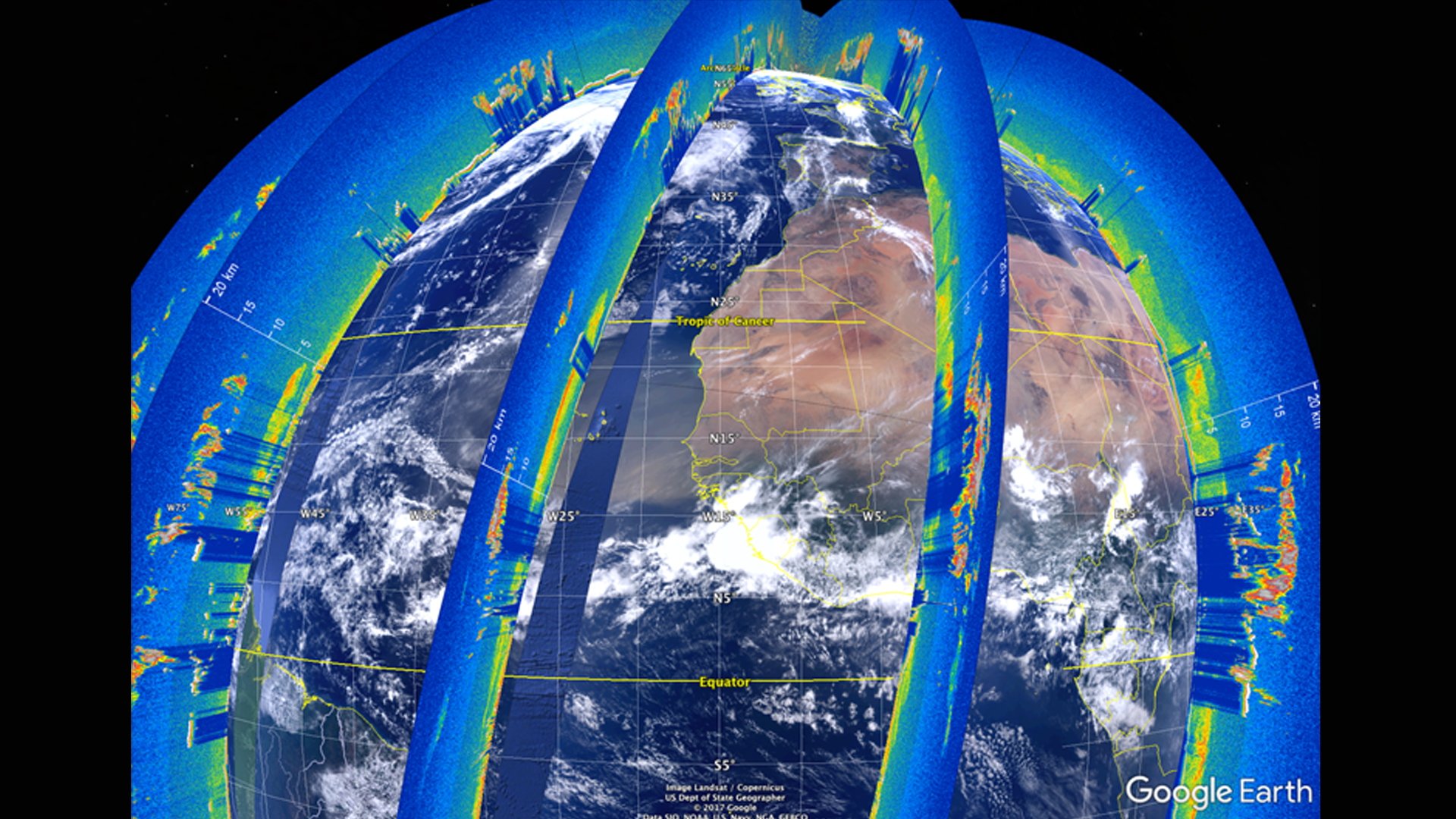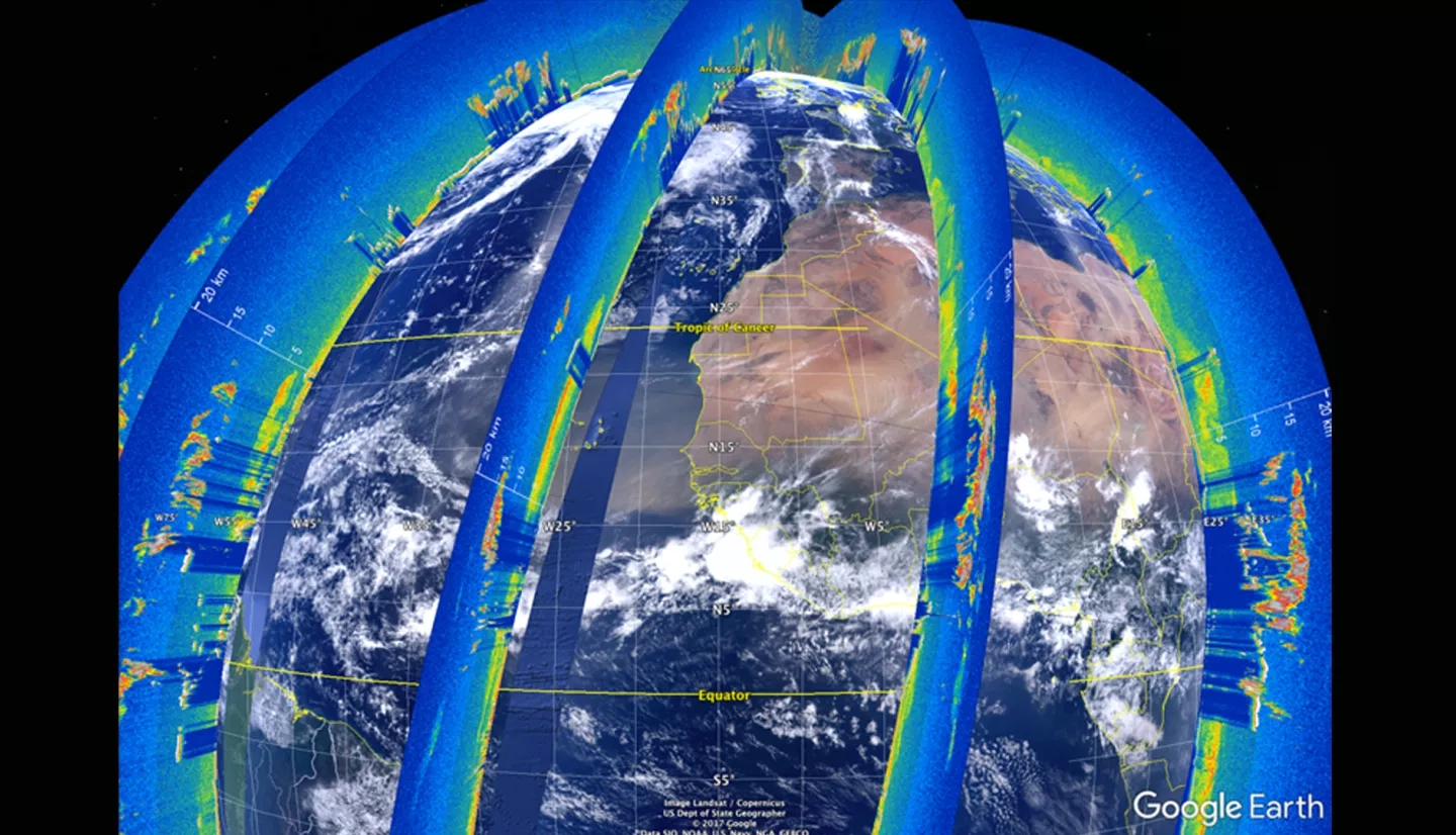
The Cloud-Aerosol LiDAR and Infrared Pathfinder Satellite Observation (CALIPSO) satellite's CALIOP sensor generates vertical LiDAR profiles of the atmosphere at a global scale. Currently, the standard visualization tool for these data is written in Interactive Data Language (IDL), a proprietary language that does not support features for tracking aerosols, selecting data, or sharing those selected sections. This makes working with CALIPSO data difficult for researchers and does not allow them to visually identify aerosol features from these data. Previous DEVELOP teams have built a working version of the Visualization of CALIPSO (VOCAL) software, a Python language replacement for this IDL-based software. During this term, the team enhanced VOCAL by improving the shape drawing tool, adding the capability to view multiple levels of data, and more flexible data inputs and outputs that support a decentralized database in the form of a CSV file. These features will increase the usability of VOCAL, expediting the process of visually identifying features and analyzing the resulting subsets of data. Finally, the DEVELOP team conducted a case study with Saharan Dust transport over the Atlantic Ocean to test the capabilities of the VOCAL software and to produce a database of dust events. The database and case study will help members of the CALIPSO Science Team compare the performance of classification algorithms used to create Level 2 (L2) CALIPSO data products, and will also support preliminary analysis of the atmospheric interactions and consequences related to long range dust transport.


