- Mary Ellen Miller, Michigan Technological University
- Michael Billmire, Michigan Technological University
- Janice Coen, University Corporation For Atmospheric Research (UCAR)
Wildfire is a known agent of change significantly altering vegetation and soils of burned watersheds. Quantifying and understanding the dynamic impacts of wildfire are vital for protecting communities and critical natural resources from post-fire flooding and debris flows.
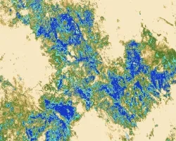
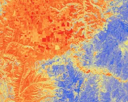
Our first objective is to leverage NASA thermal data to improve the soil burn severity (SBS) maps used to assess post-fire risks. Improving SBS maps would allow for better assessment of post-fire risks to communities and natural resources. Thermal information collected before, during and after wildfires is currently under-utilized in post-fire decision-making. Multispectral optical imagery is used to map soil burn severity, however, wildfire effects on forest soils also depend upon peak temperatures during the fire as well as the duration of heat. Thermal imagery combined with fire behavior modeling to fill in temporal gaps has potential to provide information on soil heating and duration that may improve maps of SBS that Burned Area Emergency Response (BAER) teams rely on to assess post-fire risks. Currently, SBS maps used to support BAER are derived from pre- and post-fire optical imagery (typically Sentinel-2 or Landsat) alone.
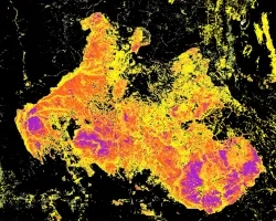
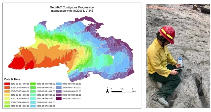
We propose to augment this approach with thermal imagery and new NASA fire-reanalysis products from the Coupled Atmosphere-Wildland Fire Environment model run with thermal calibration imagery (e.g. VIIRS, Sentinel-3, MODIS, GOES, NIROPs).
Our second objective is to improve estimates of fuel moisture using ECOSTRESS products. ECOSTRESS has potential for supporting wildland fire management before, during and after a fire event. Improved maps of drought and fuel moisture derived from the Evaporative Stress Index (ESI) or Water Use Efficiency (WUE) product has potential to improve fire behavior, fire effects, fuel consumption, and smoke emission models.
During the spring prescribed burning season, one challenge faced by land managers is determining fuel moisture, an important observation for predicting both fire behavior and post-fire effects. Dead fuel moisture is determined using empirical models with weather observations as predictors. These models rely on time lags of observations and can take several weeks of data in order to work properly.
We will explore using ECOSTRESS observations of vegetation stress to help predict fuel moisture earlier in the year during the spring prescribed fire season. Fuel moisture is a critical variable for both fire behavior and fire effects models. It is an important factor in determining if conditions are correct for prescribed burning. We will also explore the possibility of improving pre-fire forecasts of SBS with ECOSTRESS. Forecasts of SBS are used to plan fuel treatments in order to protect resources prior to a wildfire.
Related Impact