Gatlinburg & Beatty Wildfires (Fall 2022)
Team: Kelli Roberts (Project Lead), William Hadley, Daniel Littleton
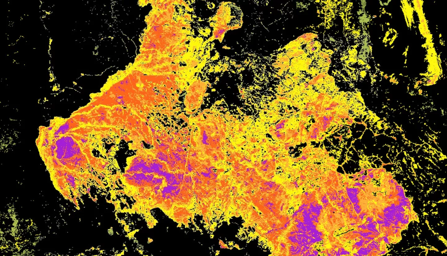
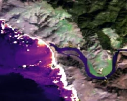
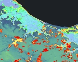
Summary: Wildfire potential monitoring, which is increasingly vital under climate change-induced droughts, could be improved by incorporating remotely-sensed soil moisture data. To better understand the connections between soil moisture and vegetation health, stakeholders are interested in using soil moisture data in the development of fire-related indices. NASA DEVELOP partnered with the Desert Research Institute’s Western Regional Climate Center (WRCC), NOAA’s National Integrated Drought Information System (NIDIS), the North Carolina State Climate Office, and Oklahoma State University to evaluate how measures of remotely-sensed standardized soil moisture compared to vegetation health and fire fuel indices in a case study of two fire events: the 2016 Chimney Tops 2 Fire near Gatlinburg, Tennessee and the 2021 Bootleg Fire near Beatty, Oregon. The team visualized vegetation change six months prior to each event using spectral vegetation indices observed by the Moderate Resolution Imaging Spectroradiometer (MODIS) aboard NASA’s Terra satellite and the Keetch-Byram Drought Index (KBDI). These visualizations were compared to soil moisture data from European Space Agency's (ESA) Climate Change Initiative Soil Moisture (CCI SM) project, collected in part by the Soil Moisture Active Passive (SMAP) satellite. Overall, the period of record percentiles and the fraction of available water standardizations correlated more strongly with fuel load and vegetation indices, indicating their utility for fire potential monitoring. Soil moisture conditions remained exceptionally dry for several months before the Chimney Tops 2 Fire, whereas drought conditions only intensified immediately prior to the Bootleg Fire. This indicates greater sensitivity to drought conditions under Western fire regimes. These findings will inform partners’ monitoring of wildfire potential in both regions and develop early warning systems.


