Imagen
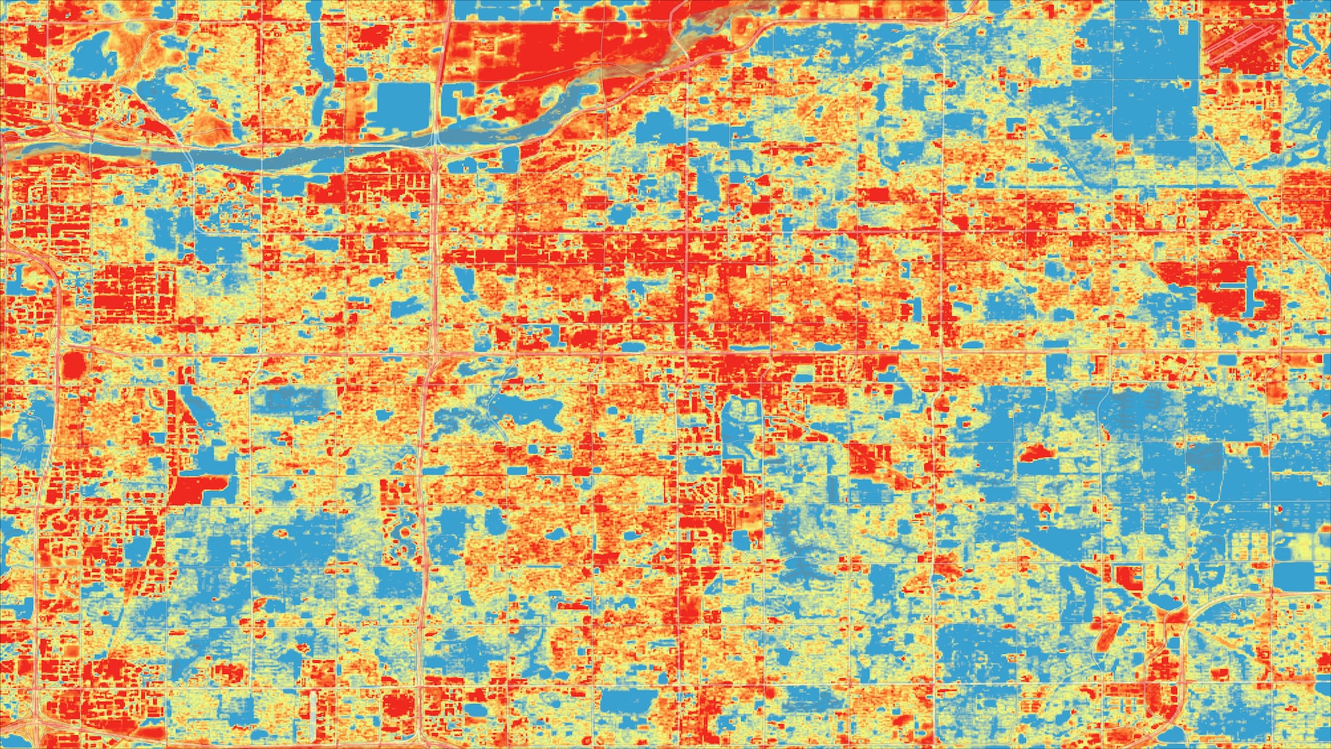
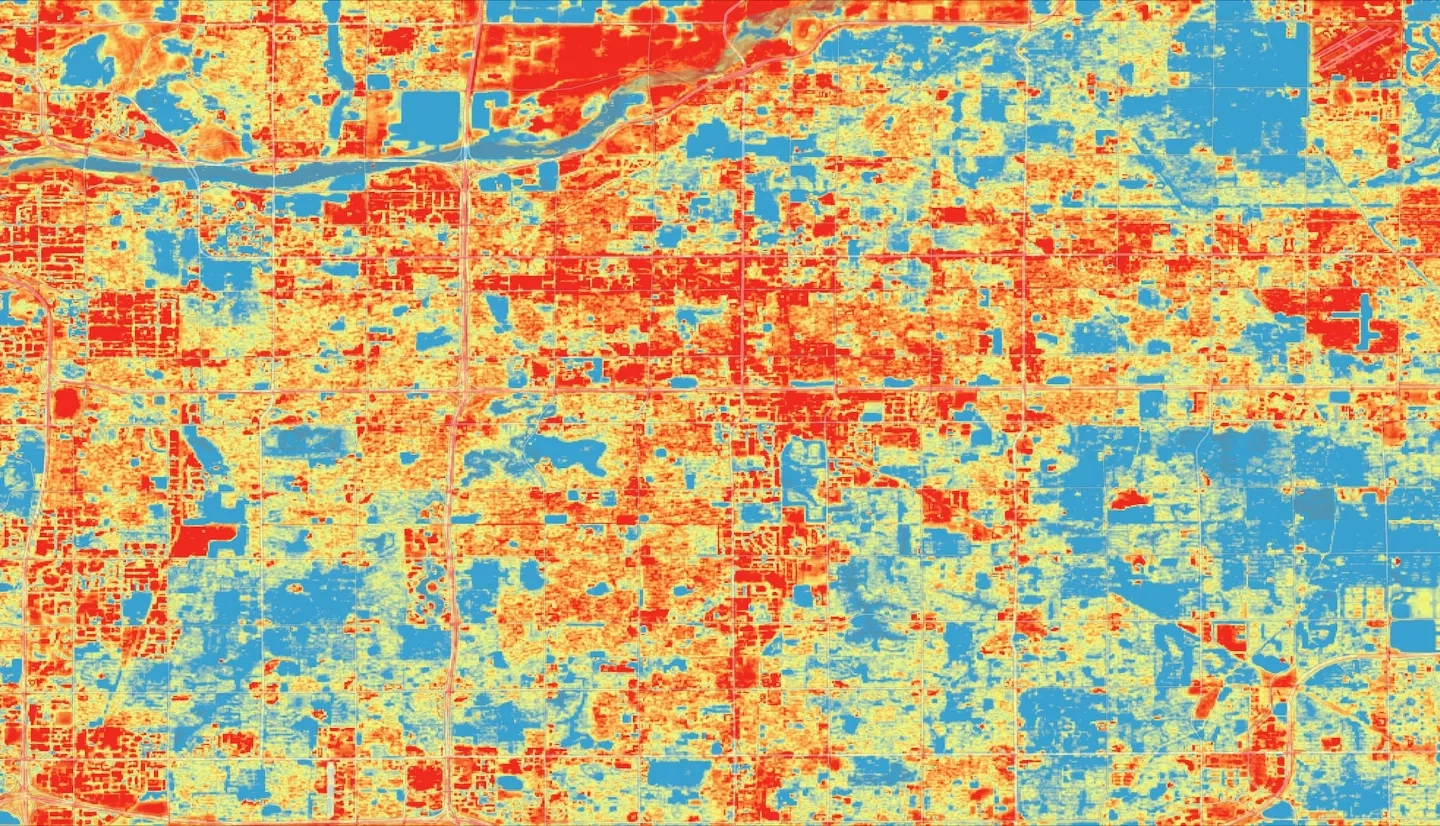
Located in the northern Sonoran Desert, Tempe, Arizona, features a semi-arid climate with summer daily maximum temperatures regularly exceeding 37.8° C (100.0° F). The area has experienced an increase in surface and air temperatures due to a steep expansion of impervious surfaces and rapid urban development. Urban heat is an increasingly pressing concern for Tempe with hundreds of heat-related deaths and thousands of heat-related hospitalizations over the past 15 years in Maricopa County. Furthermore, urban heat impacts residents’ quality of life and the economic vitality of the city. Recognizing the impacts of extreme urban heat, the City of Tempe collaborated with the Healthy Urban Environments initiative and the Fall 2020 Tempe Urban Development II NASA DEVELOP team to utilize NASA Earth observations to investigate the drivers of highest heat throughout the city. Data from Aqua Moderate Resolution Imaging Spectroradiometer (MODIS), Landsat 8 Operational Land Imager (OLI), and Landsat 8 Thermal Infrared Sensor (TIRS), American Community Survey, and LiDAR data were used to identify areas experiencing the worst heat effects that could be targeted for heat mitigation and adaptation. These areas included the Escalante neighborhood, Alegre Community, University Heights, and around Dwight Park. Additionally, according to our shading analysis, the Gilliland and Escalante neighborhood walksheds do not meet the "good" shading threshold set at 30% by the Maricopa Association of Government.