Front Range Wildland Fires (2023 Spring)
Team: Nora Carmody (Project Lead), Lillian Gordon, Nathan Teich, Josh Virene
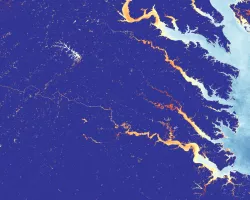
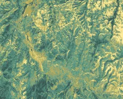
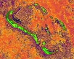
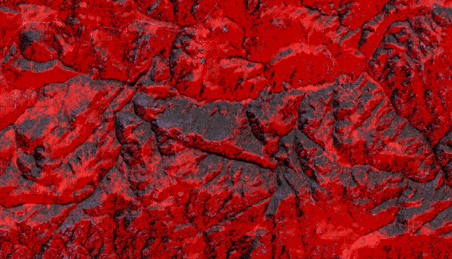
Summary: Over the last several decades, wildfire frequency and severity in forested areas along Colorado’s Front Range have increased due to a buildup of fuels. This has led to an increase in forest treatments, as well as an increased need to evaluate the success of these treatments. Remote sensing products offer an efficient and cost-effective way to monitor forest treatments; however, not all remote sensing products and analysis techniques have been explored by Colorado land managers. Specifically, project partners at the Colorado State Forest Service (CSFS) and the Colorado Forest Restoration Institute (CFRI) are interested in using an effective and streamlined method of mapping canopy cover to better monitor forest treatment success. To support their needs, the NASA DEVELOP Front Range Wildland Fires team explored National Agricultural Imagery Program (NAIP) imagery at different spatial resolutions and numbers of training points with NASA’s Shuttle Radar Topography Mission (SRTM) Data Elevation Model (DEM) as a predictor. From this analysis, we created classified canopy cover rasters, and compared accuracy metrics across model iterations. We also determined that the best performing model, with an overall accuracy of 0.900 uses 2021 NAIP imagery at 2-meter resolution, 800 training points, 200 testing points, does not use topographic predictors, and reclassifies shadow pixels via a pre-selected NDVI threshold.
Related Impact