Imagen
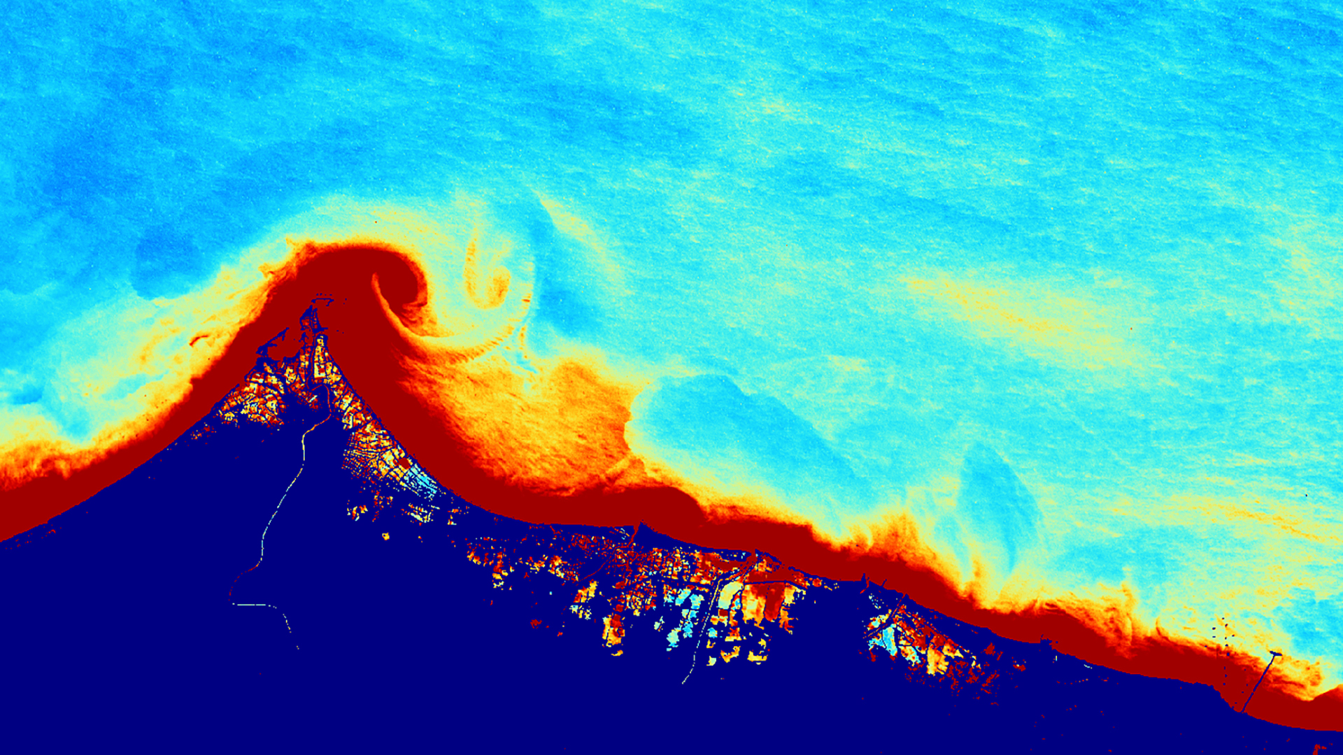
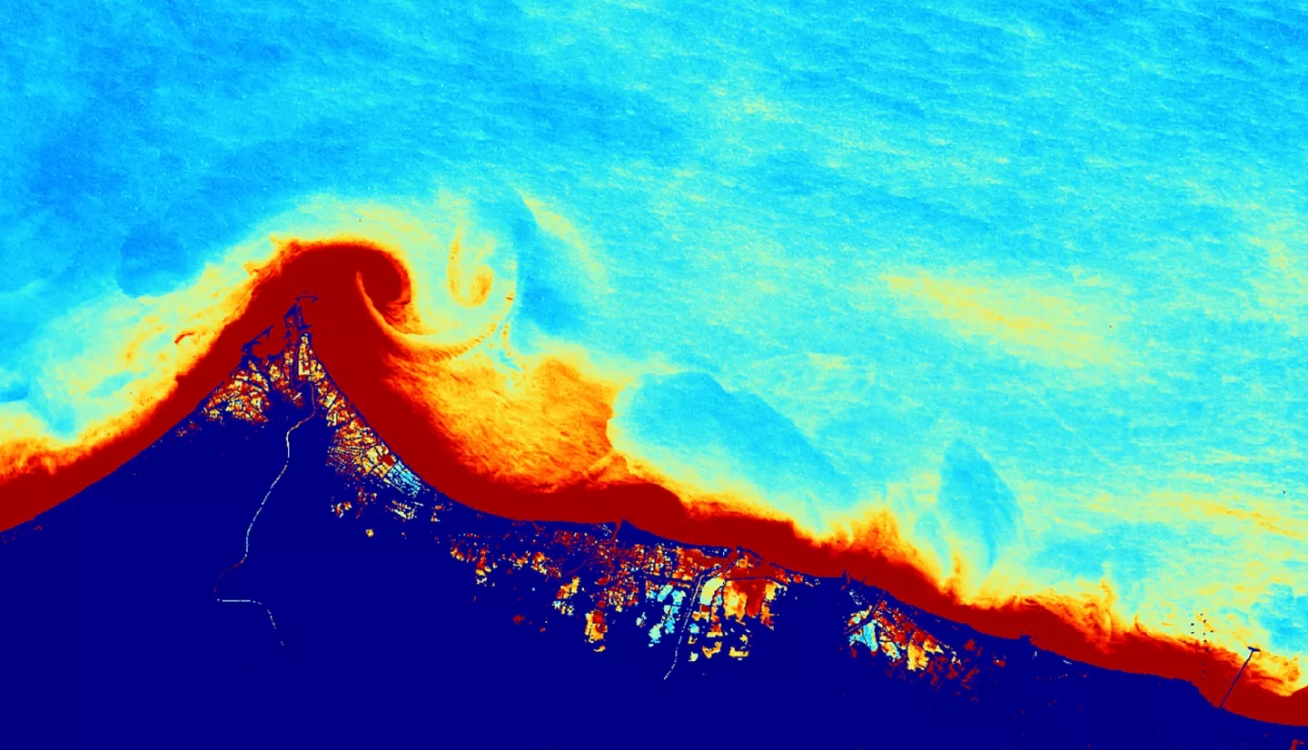
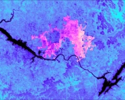
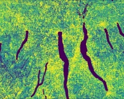
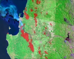
Extreme tidal inundation events resulted in wide-ranging damage to the densely populated coastline of Central Java, Indonesia. Central Java Province is vulnerable to extreme tidal inundation and severe fluxes in marine turbidity due to a combination of factors, including storm surges, sea level rise, and land subsidence resulting from groundwater extraction. In Central Java, 368 flood events occurred between 2011 and 2015, with 1,000 ha in Semarang City and 2,116 ha in Demak reported as inundated in 2015 alone. Torrential rain caused flash floods and landslides in Central Java during 2018 and 2019, claiming thousands of lives and causing extensive damage to urban areas. Continual flooding and associated fluxes in marine turbidity threaten the livelihoods of coastal communities, mangrove restoration efforts, and marine ecosystems. This project supports the flood management and mitigation efforts of the Center for Coastal Rehabilitation and Disaster Mitigation Studies at Diponegoro University and the Water Resources and Spatial Planning Office of Central Java Province. The Boston NASA DEVELOP team utilized Landsat 8 Operational Land Imager (OLI) and Aqua Moderate Resolution Imaging Spectroradiometer (MODIS) to assess inundation extent and water quality. To aid partner organizations in water resource management decisions, the team created a tidal land cover analysis tool that maps coastal flooding. Marine turbidity estimation maps were created to assess variations in turbidity and sediment availability through time. DEVELOP’s end products will aid partners in ongoing mitigation efforts, inform marine ecosystem restoration initiatives, and monitor threats to human safety.