Imagen
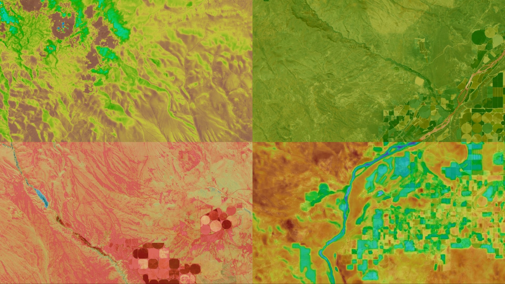
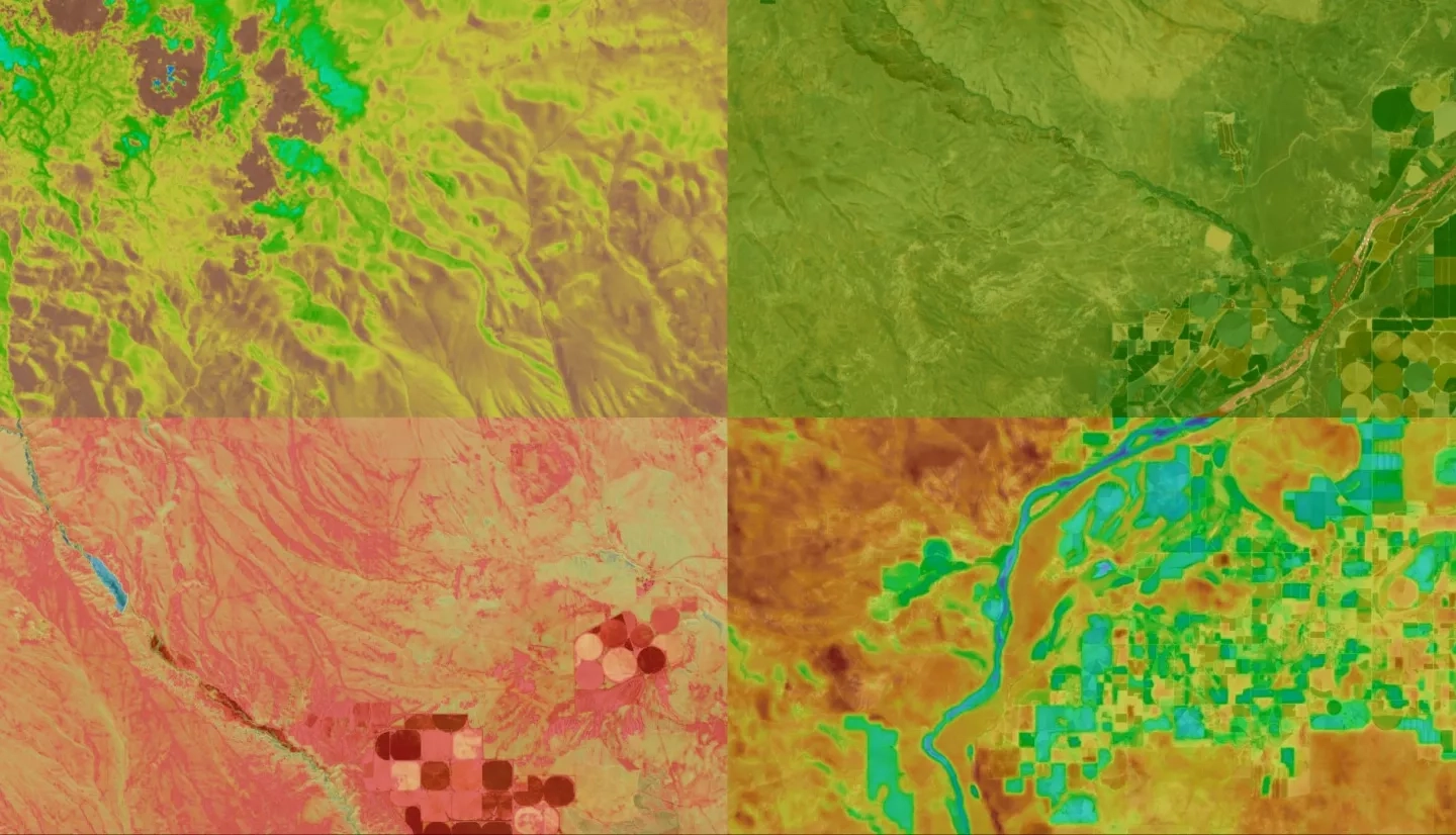
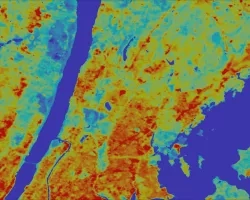
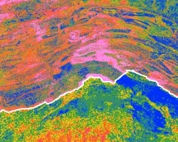
Evapotranspiration (ET) is a vital component of the hydrologic cycle, especially in semi-arid environments; water availability can have a substantial impact on ecosystem services, such as grazing patterns of native and domesticated animal populations, vegetation health, and fire susceptibility. Current practices to measure ET rely on costly field sampling approaches or models that are typically calibrated for agricultural land cover. Validating remotely-sensed ET models with paired in situ eddy covariance flux tower data from Reynolds Creek Experimental Watershed (RCEW) will increase the confidence of measuring ET using remotely sensed data in the sagebrush steppe environment. ET estimates were derived from NASA Terra Moderate Resolution Imaging Spectroradiometer (MODIS) and Advanced Spaceborne Thermal Emission and Reflection Radiometer (ASTER), Landsat 8 Operational Land Imager (OLI) and Thermal Infrared Sensor (TIRS). Additionally, the project utilized modeled data from Google Earth Engine Evapotranspiration Flux (EEFlux), Simplified Surface Energy Balance (SSEBop), MODIS Global ET Project (MOD16), and North American Land Data Assimilation System (NLDAS-2 Noah). The NLDAS-2 Noah model produced the best correlation to the RCEW in situ measurements, with an average coefficient of determination of r2 = 0.87. The other three models resulted in coefficients ranging from r2 = 0.086 (MOD16) to r2 = 0.86 (EEFlux). Although NLDAS-2 Noah has the lowest spatial resolution of the tested models (~12 km), it has the highest temporal resolution (hourly), which is promising for developing hybrid models paired with higher spatial resolution datasets such as SSEBop.