Grand Valley Ecological Forecasting II (Summer 2022)
Team: Bill Curtiss (Project Lead), Aliza White, Sam Majumder, Rhea Martinez
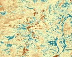
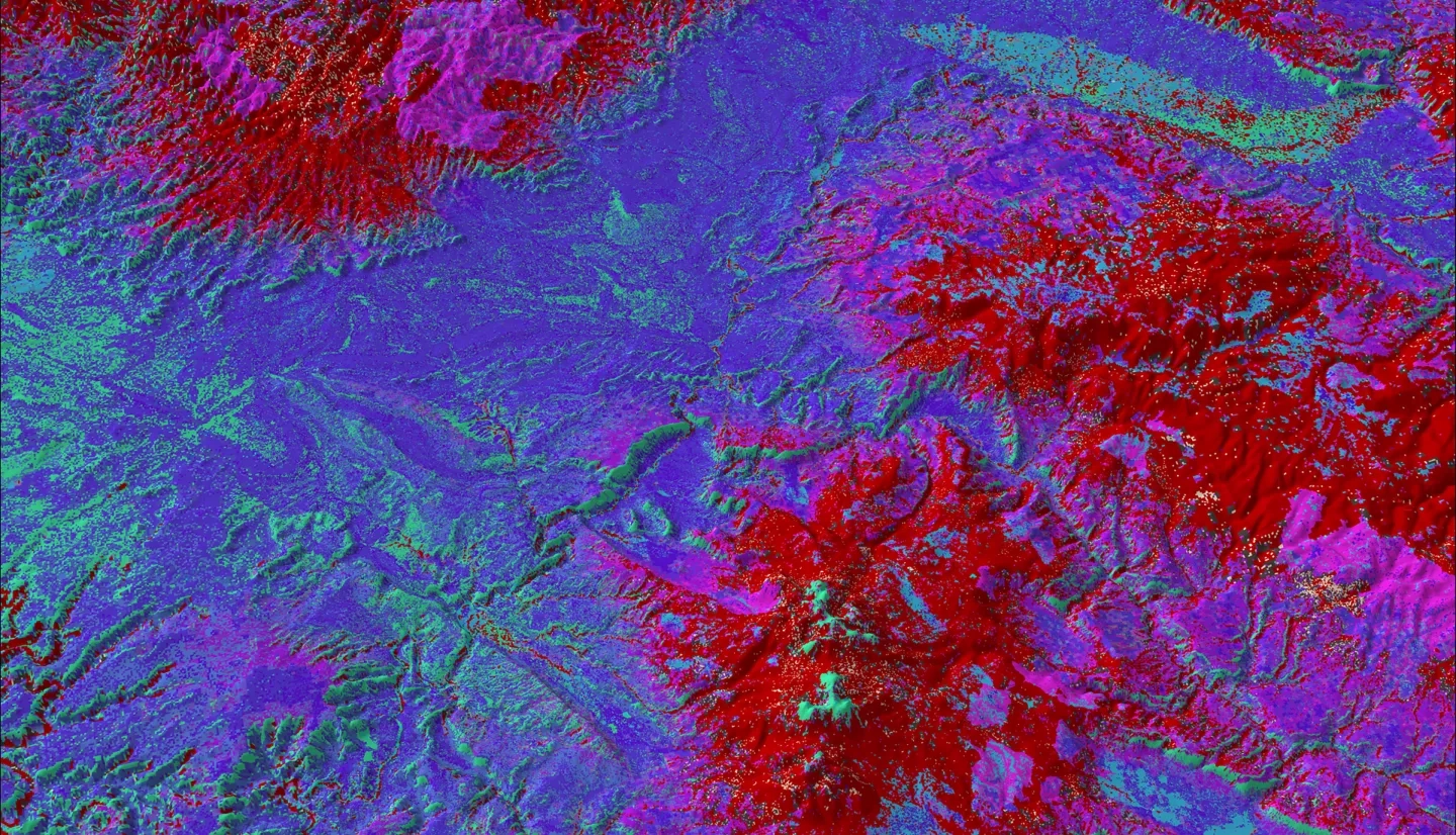
Summary: Disturbances and landcover change in pinyon-juniper and sagebrush ecosystems are exacerbated by environmental conditions such as variability in climate characteristics. Our DEVELOP team partnered with the National Park Service (NPS) in Colorado National Monument and the Bureau of Land Management (BLM) in McInnis Canyons and Dominguez-Escalante National Conservation Areas to investigate disturbances to land cover. NPS partners were interested in identifying areas at risk of pinyon-juniper die-off or encroachment by invasive species. The BLM partners prioritized identifying areas suitable for fire reduction/prevention treatment. To address these concerns, we forecasted landcover change in the Grand Valley region of Colorado using NASA Earth observation data from Landsat 5 Thematic Mapper (TM), Landsat 7 Enhanced Thematic Mapper (ETM+), Landsat 8 Operational Land Imager (OLI), and Moderate Resolution Imaging Spectroradiometer (MODIS) aboard Terra and Aqua. We collected and analyzed these data in conjunction with Term I of this project. We found that the primary drivers of forecasted landcover change in the study area were aspect and elevation. Our forecasted landcover change maps, created using the Idrisi TerrSet Land Change Modeler, addressed the needs of our partners by showing potential habitat suitability trends, which will inform management planning. Forecasted land cover maps indicated that by 2040, ecosystems within partner management areas will likely see tree encroachment on shrublands.
Related Impact