Imagen
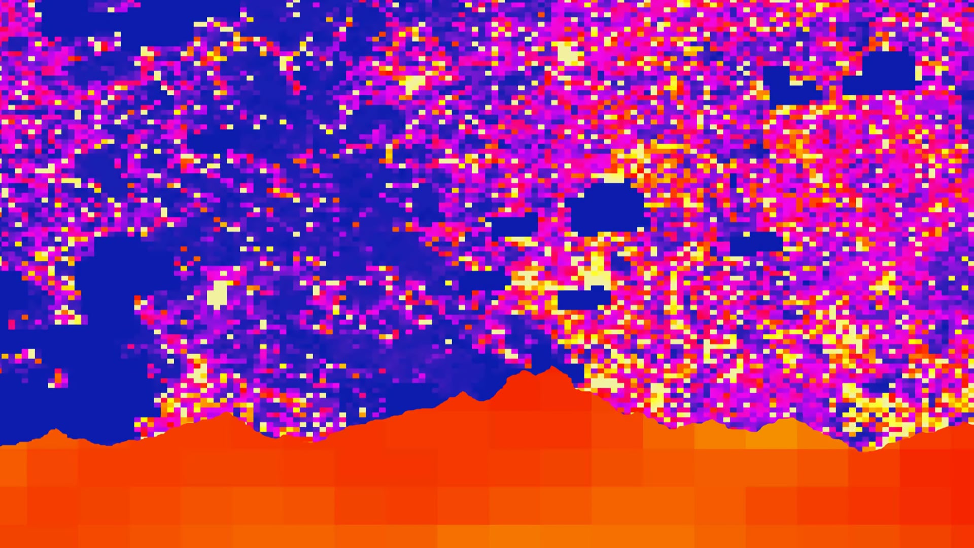
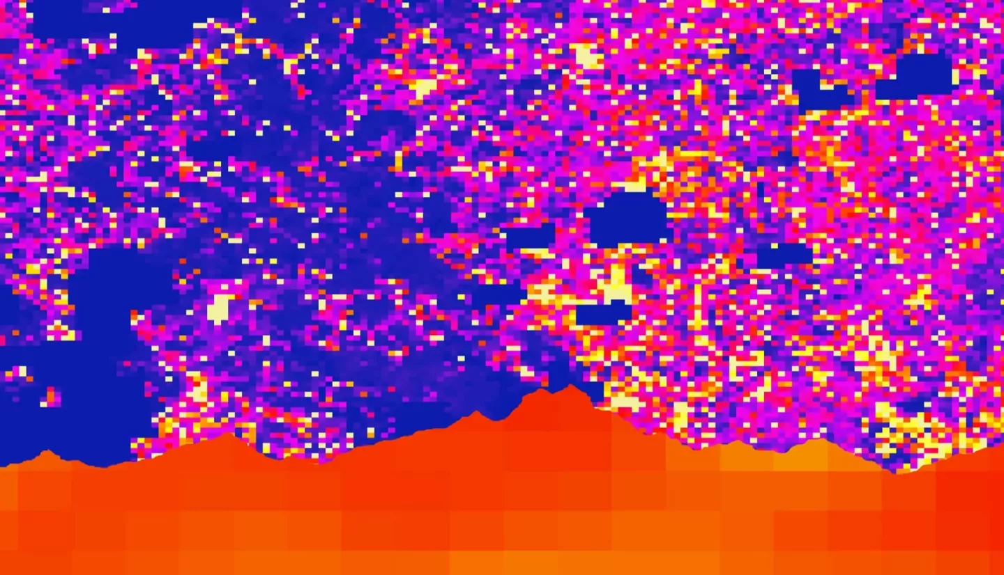
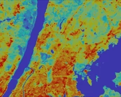
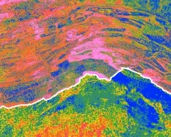
Intense thunderstorms throughout the Hindu-Kush Himalayan (HKH) region have resulted in an upsurge of lightning-related deaths due to an increase in population. Partnering with the NASA Global Hydrology Resource Center Distributed Active Archive Center, NASA SERVIR Science Coordination Office, Bangladesh Meteorological Department (BMD), Nepal Department of Hydrology and Meteorology (DHM), and the International Centre for Integrated Mountain Development, this study investigated the lightning risks in the HKH region and the correlation between precipitation and lightning. The team plotted lightning flash point data collected by the Lightning Imaging Sensor (LIS) aboard the Tropical Rainfall Measuring Mission (TRMM) and International Space Station (ISS) to determine the locations where the highest concentrations of lightning strikes occurred from January 2000 to December 2017. Additionally, the team used the TRMM Microwave Imager (TMI), TRMM Precipitation Radar (PR) and Global Precipitation Measurement (GPM) mission Integrated Multi-Satellite Retrievals (IMERG) data to determine areas with the highest precipitation totals over Bangladesh and Nepal. A Lightning Risk Map, created to highlight lightning-prone areas and regions with vulnerable populations, showed that populations in Bangladesh were comparatively more vulnerable to lightning than those in Nepal. A Precipitation and Lightning Correlation was determined, indicating if areas experiencing heavier precipitation corresponded with areas experiencing higher lightning totals. These end products will assist the BMD and the DHM to increase hazard awareness and issue earlier warning times to reduce lightning casualties.