Bandelier Ecological Conservation (Summer 2023)
Team: van Barrett (Project Lead), Megan Rich, Nusrat Zahan Jarin, Chloe Johnson
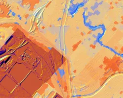
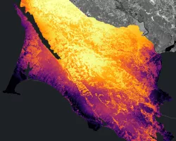
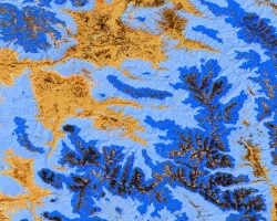
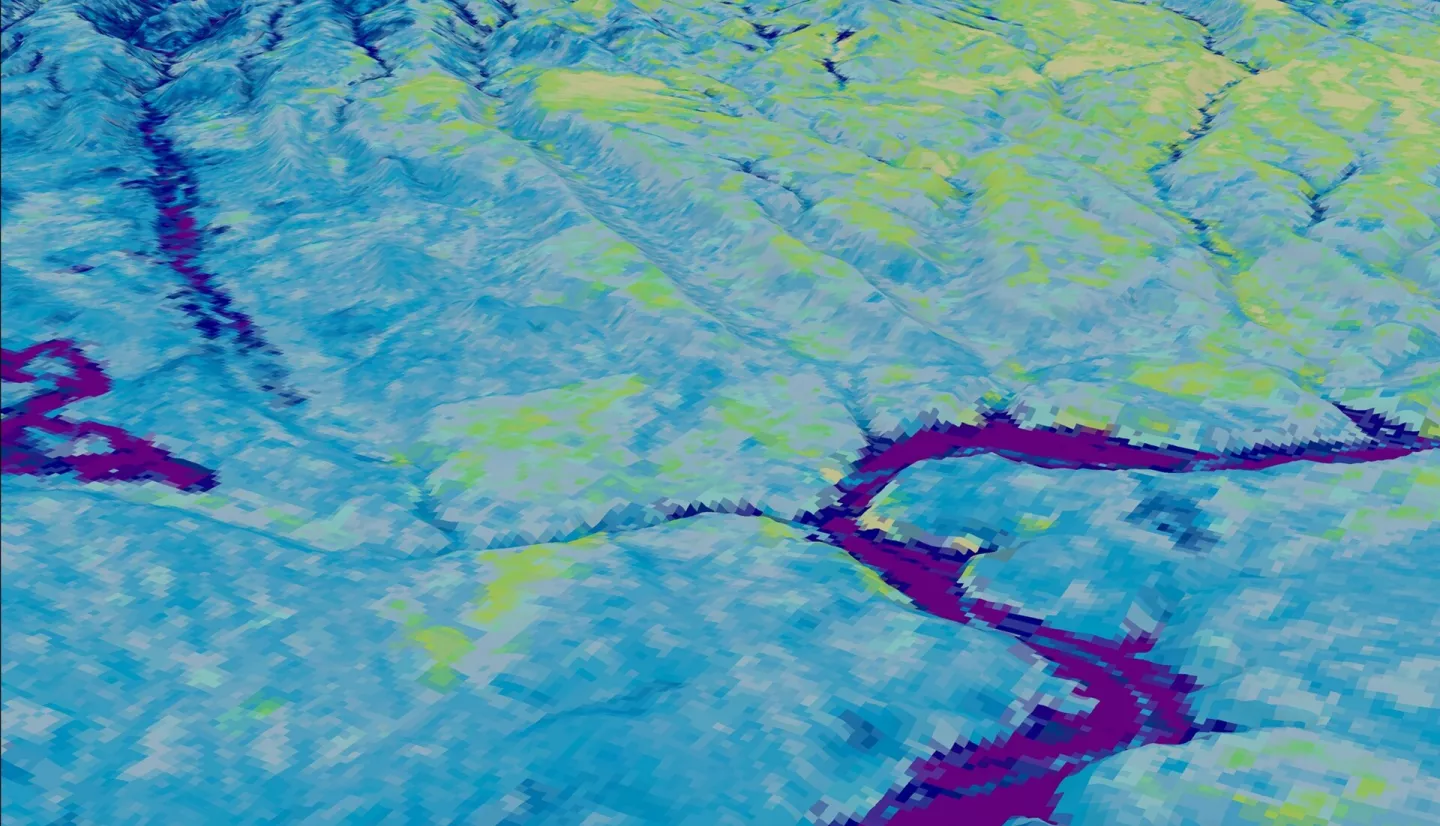
Summary: The Southwest U.S. has experienced a growth of invasive riparian species, specifically Elaeagnus angustifolia (Russian olive), Tamarix ramosissima (saltcedar), and Ulmus pumila (Siberian elm), which alter local soil chemistry and outcompete native species. Locating these exotic species is critical for ecological conservation; however, field identification can be resource-intensive and difficult. NASA DEVELOP partnered with the National Park Service (NPS) at Bandelier National Monument (BAND) to assess the feasibility of using Earth observation data to map invasive species along the Rio Grande corridor of the park. The team used Landsat 8 OLI, Sentinel-2 MSI, and ISS DESIS imagery to compute principal components based on spectral bands, vegetation indices, and terrain indices through a principal component analysis. Using the first five components, the team created classification maps using both a k-means classification algorithm and a random forest algorithm to differentiate between native and non-native species. The team derived maps for the three invasive riparian species in the region for the last five years along with native vegetation and other land cover classes. The team found that invasive species covered 33% of the park's river corridor in 2023, and the downstream species extent has increased by 5.7% from 2019 to 2023. The methods will serve as a guide for aiding historic and present invasive species identification in riparian regions, and the NPS staff at BAND will use the results to inform local mitigation practices and advocate for invasive species removal.
Related Impact