Imagen
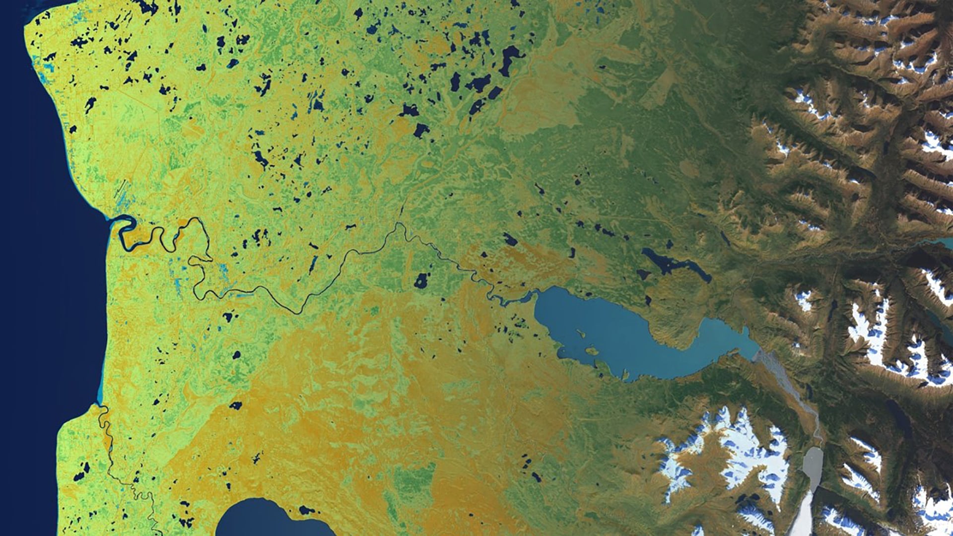
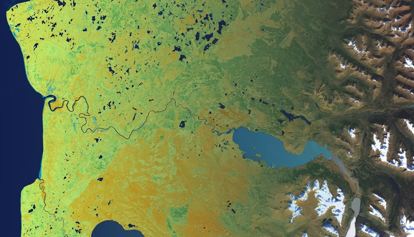
Rising temperatures alter growing conditions for vegetation that result in changes to habitat distribution and abundance. In Alaska, these ecological changes present challenges to land managers planning to accommodate species of interest such as Dall's sheep and ptarmigan. NASA DEVELOP partnered with the Kenai National Wildlife Refuge (KENWR) to identify areas of wetland afforestation and treeline rise on the Kenai Peninsula since 1985 and forecast these trends into 2050 and 2100. The DEVELOP team generated historical land cover classification maps for the Kenai Peninsula from Earth observations acquired by Landsat 5 Thematic Mapper (TM), Landsat 7 Enhanced Thematic Mapper Plus (ETM+), and Landsat 8 Operational Land Imager (OLI). We classified land cover contained in the Landsat imagery by training a random forest classifier with land cover maps for 2001 and 2011 from the USGS National Land Cover Database. We then analyzed the historical land cover maps to identify areas of wetland conversion and treeline rise. The team created forecast maps of these trends to 2050 and 2100 using TerrSet Land Change Modeler (LCM) which can provide KENWR staff with a better understanding of how rates of afforestation vary across the landscape and inform future land management strategies.