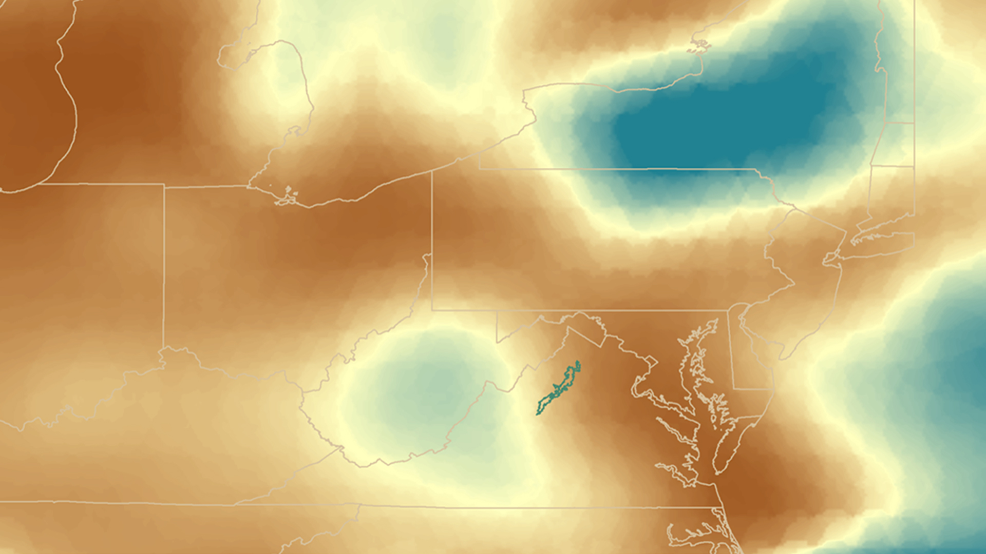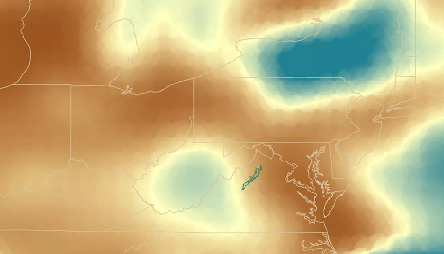
Air quality is considered one of Shenandoah National Park's most fundamental resources. The park's ecological health and visitor attendance is dependent on maintaining high air quality standards. This project utilized the NASA's Aerosol Optical Depth (AOD), aerosol extinction profile, and Tropospheric Ozone Residual (TOR) datasets to create a long-term analysis of air quality in the park from May 2007 to August 2017. This analysis was used to identify trends in visibility and tropospheric, or ground-level, ozone throughout the park. In situ station data from Big Meadows monitoring station and 29 Automated Surface Observing System (ASOS) stations located within a 120 mi radius from Shenandoah National Park were used to validate the NASA Earth observations. A tutorial of how to download, subset, and analyze TOR and AOD datasets was created to help park staff incorporate remote sensing data into their management practices related to air quality concerns. This project provided statistical and quantitative support for incorporating satellite data into Shenandoah National Park's current air quality monitoring efforts and will aid in future decisions related to visitor education and ecological management.


