Imagen
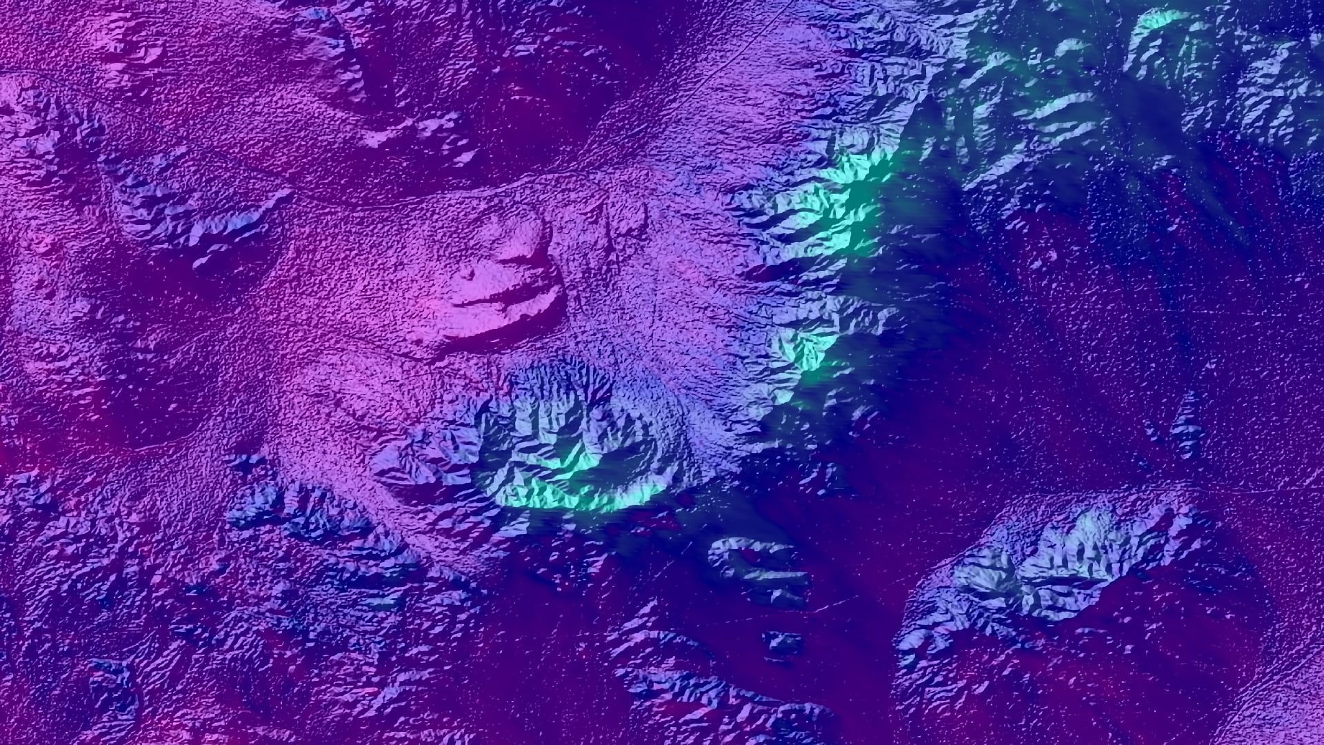

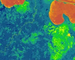
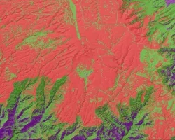
Bighorn sheep are a charismatic desert species that have enormous ecological and cultural significance to the Mojave Desert region in California. After overcoming large population losses in the late 1900s, further habitat degradation and fragmentation has continued to affect the livelihood of remaining bighorn sheep (BHS) herds. Past studies have shown that the habitat selection of remaining BHS metapopulations is extremely selective, requiring very specific forage and topographic conditions. A previous DEVELOP project used remotely sensed precipitation data to characterize vegetation greenness within known BHS habitat and found that additional parameters were needed to more accurately assess and predict herd placement. In partnership with the National Park Service, the California Department of Fish and Wildlife, Oregon State University, and the Sierra Nevada Bighorn Sheep Foundation, the fall 2018 NASA DEVELOP Alaska Ecological Forecasting team utilized data from various NASA Earth observations, including Soil Moisture Active Passive (SMAP), Terra Moderate Resolution Imaging Spectroradiometer (MODIS), Terra Advanced Spaceborne Thermal Emission and Reflection Global Digital Elevation Map (ASTER GDEM), along with National Agriculture Imagery Program (NAIP) aerial imagery to further evaluate spatiotemporal vegetation characteristics in relation to BHS habitat.