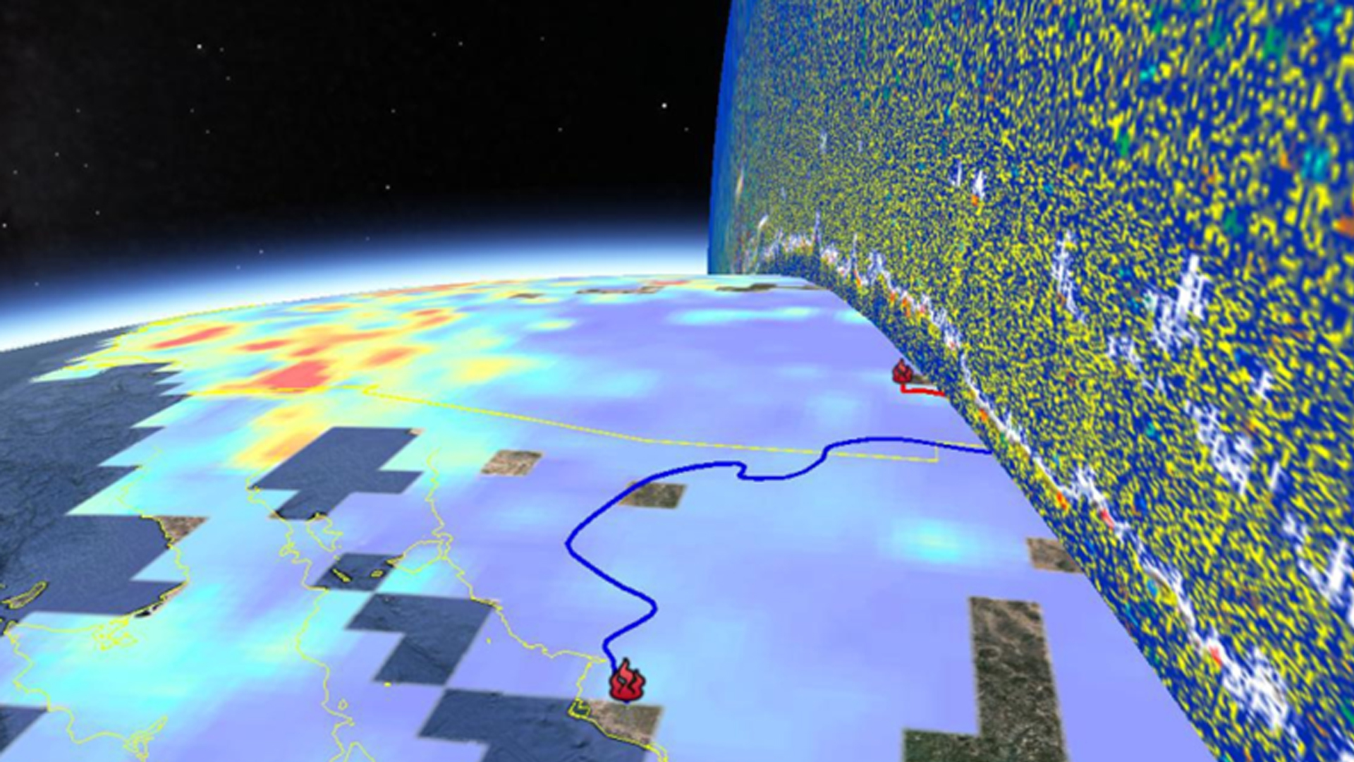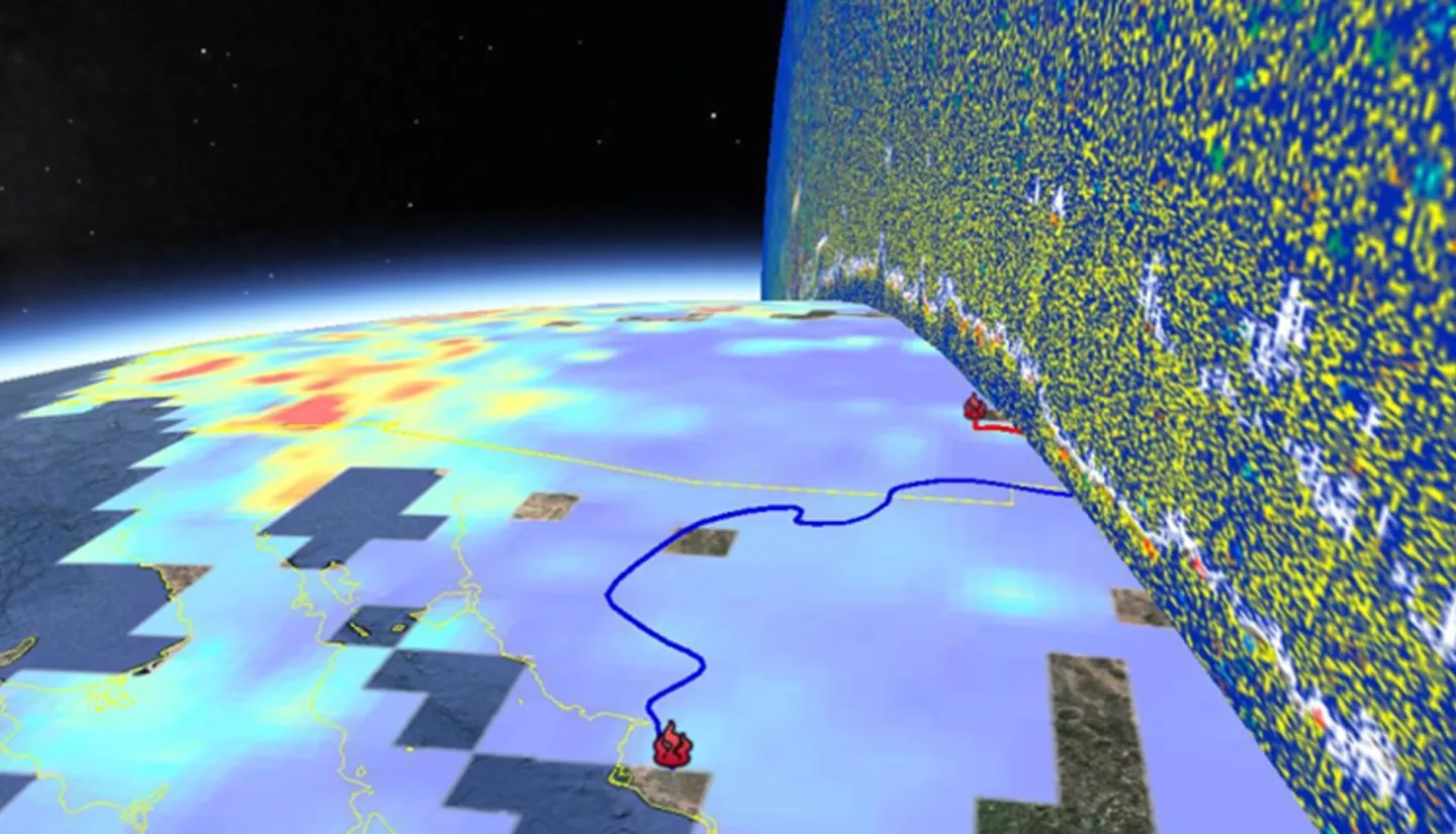
Wildfires in Texas have the potential to impact not only the areas of origin but also the entire state. Smoke plumes from wildfires travel across the state with trajectories that are greatly influenced by meteorological conditions. The plumes transport pollutants, which include those present in the ambient atmosphere, like volatile organic compounds and nitrous oxides, as well as those produced by wildfires, like aerosols. Aerosols have several negative effects on the environment and human health. Smoke plumes have the potential to negatively impact numerous lives when meteorological conditions allow them to reach highly populated metropolitan areas. For these reasons, the U.S. Environmental Protection Agency (EPA) has set standards to regulate the levels of these pollutants in the atmosphere. Observations from field monitors assist the Texas Commission on Environmental Quality (TCEQ) in ensuring that these standards are met. When these standards are exceeded, the TCEQ can claim an exceptional event, but it is often difficult to use in situ data alone to trace the origins of the pollutants that caused this. This project used data from Terra MODIS and CALIPSO CALIOP to observe the aerosol optical thickness and vertical composition of plumes, respectively, and to perform 3-D spatial-temporal plume tracking. Data from Terra MOPITT were used to distinguish smoke plumes from ambient air and thermal anomaly maps from Suomi NPP VIIRS were used for fire detection. The products of this project helped the TCEQ observe wildfire smoke plumes and monitor the origin, transport, and deposition of wildfire aerosols.


