Haiti Agriculture (Spring 2022)
Team: Kelli Roberts (Project Co-Lead), Taylor Simkins (Project Co-Lead), Ilan Bubb, Nohemi Huanca-Nunez
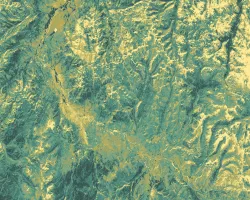
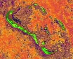
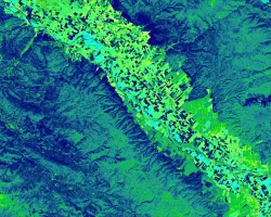
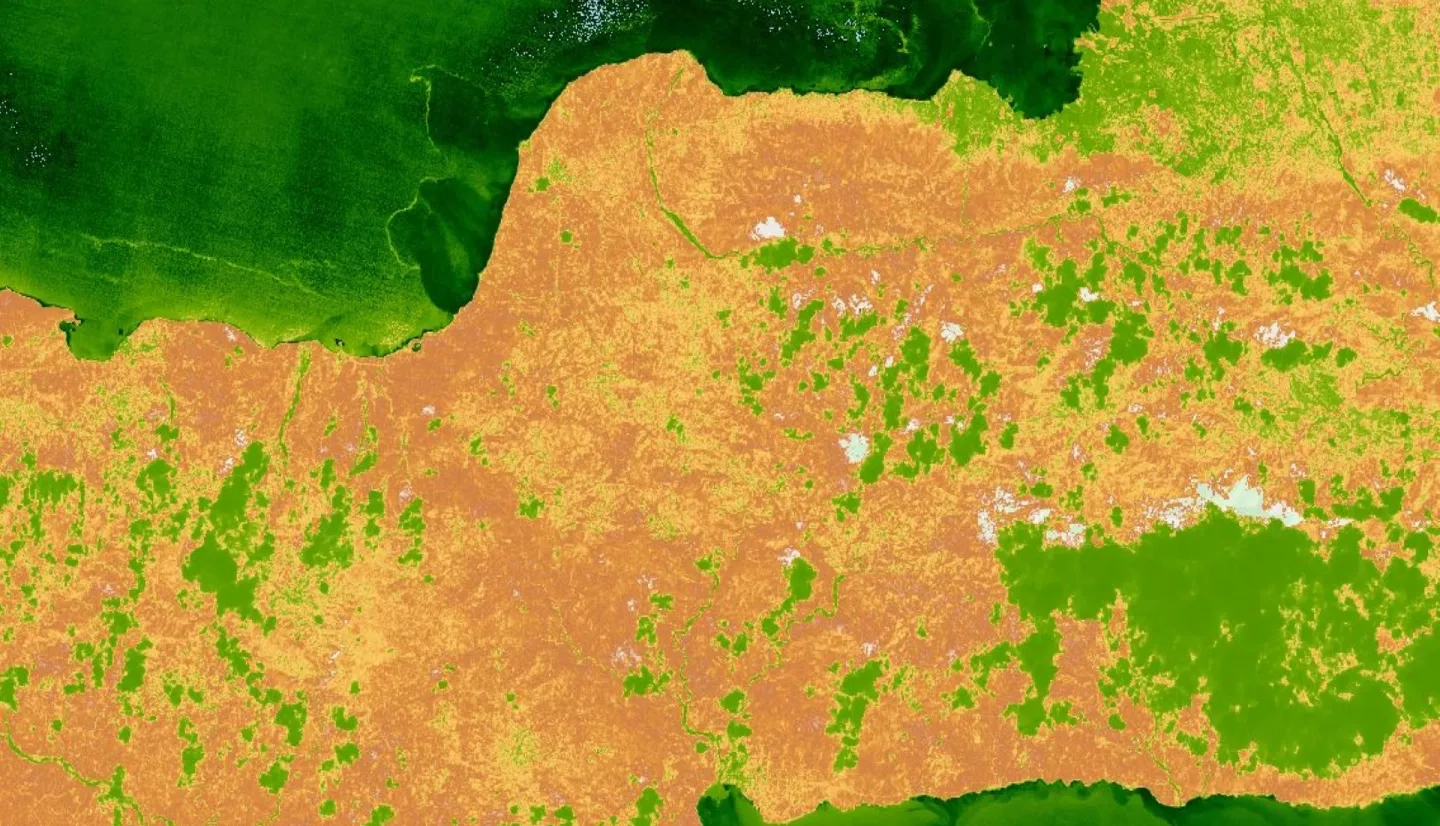
Summary: Haiti is one of the world’s most deforested and environmentally degraded countries. Over the past 30 years, the Haiti Reforestation Partnership (HRP) has provided resources, education, and expertise to support reforestation work in Haiti. The HRP has planted over 15 million trees through its partnership with Comprehensive Development Program (CODEP). However, they have yet to conduct a comprehensive analysis of forest stand survival. The NASA DEVELOP team partnered with the HRP to aid their future silvicultural decisions using satellite imagery. Through the creation of the Monitoring of Vegetation Presence (MVP) tool in Google Earth Engine, the team produced a time series showing trends in enhanced vegetation index (EVI) from 1984 to 2021, as well as a habitat suitability map using a general model for all tree species. These provided the partner with visuals to communicate their reforestation efforts and guidance on where to apply their future efforts. The team utilized Landsat 5 Thematic Mapper (TM), Landsat 7 Enhanced Thematic Mapper Plus (ETM+), Landsat 8 Operational Land Imager (OLI), Landsat 9 OLI-2 and Sentinel-2 Multispectral Instrument (MSI) vegetation indices as indicators of stand success over time. The team also incorporated WorldClim bioclimatic variables such as precipitation and temperature, Centre National de l'information Geo-Spatiale (CNIGS) Airborne Lidar elevation, and ancillary datasets areas suitable for future reforestation efforts. Overall, the time series showed that the demonstration forest increased in EVI at a greater rate than the surrounding area and the habitat model suggested there are 49,000 hectares of suitable habitat for planting using slope, aspect, and temperature as predictor variables.
Related Impact