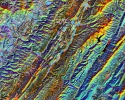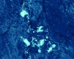
Flash drought conditions emerge in a matter of weeks following persistent weather anomalies, such as high temperatures or large vapor pressure deficits, that drive increased evaporative demand. Vegetation response rapidly depletes soil moisture, threatening surface water supplies, triggering significant crop loss, and increasing wildfire risk. Drought indices sensitive to flash drought are currently not included in drought forecast models in the Ohio River Basin (ORB). The team assessed and compared drought indices, gauge-based data, and satellite measurements over the course of the September 2019 flash drought event in the Ohio River Basin to investigate environmental fingerprints throughout flash drought evolution. Potential leading flash drought indicators were compared to the Standardized Precipitation Index (SPI) to aid the National Weather Service (NWS) Ohio River Forecast Center and Kentucky Climate Center in producing early warning flash drought forecasts. These drought indices included Evaporative Demand Drought Index (EDDI), Standardized Precipitation Evapotranspiration Index (SPEI), and Landscape Evaporative Response Index (LERI) (derived from Terra Moderate Resolution Imaging Spectroradiometer (MODIS)). Drought index behavior inherently varies based on parameters incorporated - EDDI measures evaporative demand through potential evapotranspiration, and and demonstrates more variations due to sensitivity to seasonal changes in evaporative demand throughout the 2010-2019 study period. Conversely, LERI measures evaporative response through actual evapotranspiration, representing different environmental changes. Soil moisture response was evaluated using Soil Moisture Active Passive (SMAP) L-band radiometer data and Kentucky Mesonet gauge-based measurements. This analysis enables climatologists and weather forecasters to keep decision-makers and stakeholders better informed about drought risks to implement the appropriate actions for preparation of drought onset.


