Imagen
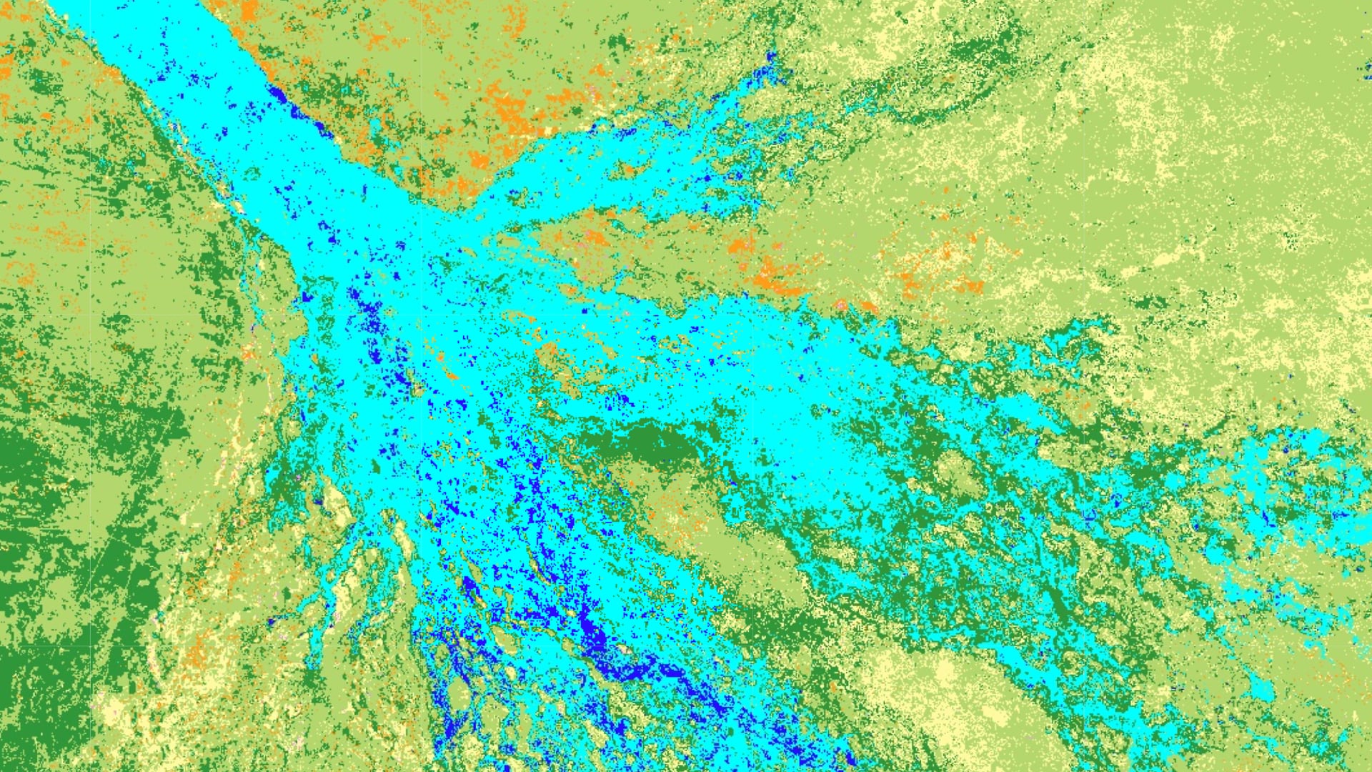

In the Kavango-Zambezi area of southern Africa, three million people live within areas frequently traveled by free-ranging elephants. As the region continues to develop rapidly, urban and agricultural settlements further encroach upon the land that these elephants use. As elephants come into more frequent contact with urban areas, human populations face financial loss through crop damage and the potential for injury from direct conflict with elephants. Elephant populations are also at risk of injuries from conflict as well as illness related to the consumption of waste. In order to implement human-elephant conflict mitigation strategies, local conservation groups need to be informed on best practices for coexistence. This project aided Ecoexist Project and Connected Conservation in understanding the ecological factors that drive elephant movement into human settlements and provided Earth observation data to support future conflict management. The team used Landsat 5 Thematic Mapper (TM) and Landsat 8 Operational Land Imager (OLI) data to create land use land cover maps and calculate vegetation indices, and used TerraClimate data to analyze drought conditions. These classified maps display a time series of human settlement from 1990 to the present and were made explorable alongside other environmental variables in an updated Google Earth Engine tool. This project also provided heatmaps that show the risk of human-elephant conflict based on historical data of human-elephant conflict locations. This analysis will provide support for conservation experts in determining best practices for future mitigation and prevention of human-elephant conflict.