Shoshone River Water Resources II (2023 Spring)
Team: Robyn Holmes (Project Lead), Christian Bitzas, Jillian Greene, Isabella St. John
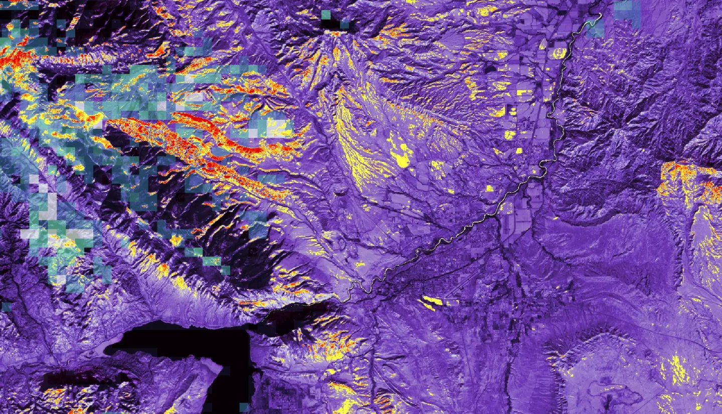
Summary: The Willwood Dam, an irrigation diversion dam located on the Shoshone River (Wyoming, USA), has faced ongoing issues with sediment accumulation and needs frequent sediment flushing to remain operable. However, high suspended sediment levels during flushing events have negatively impacted downstream aquatic ecology and recreational opportunities. To address these problems, DEVELOP partnered with the Wyoming Department of Environmental Quality, Shoshone River Partners, and United States Geologic Survey. During term one, the team developed a workflow to map turbidity using PlanetScope imagery, analyze time series precipitation data, and create landcover maps. For this term, we focused on three methods to gain a better understanding of sediment sources: 1) improving remote sensing of turbidity, 2) modeling sediment transport within using the Soil and Water Assessment Tool (SWAT), and 3) conducting a snow cover time series analysis through remote sensing Suomi NPP VIIRS imagery. Through remote sensing, we found Dry Creek/Homesteader Creek and Penney Gulch had the highest concentration sediment plumes. SWAT+ created a high-resolution grid model of the watershed, identifying high sedimentation in the western and southern subbasins. The SWAT+ model displayed low-correlated calibration and validation results due to limited observed data. Remote sensing quantified snow cover extent was analyzed in a time series alongside other hydrologic variables. Snow melt events correlated with increases in suspended sediment concentration and turbidity values. Coupling remote sensing with hydrological modeling will give watershed managers a new perspective on high-priority regions for implementation of remediation to reduce the sediment build-up at the Willwood Dam.
Related Impact