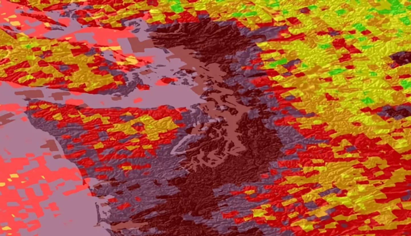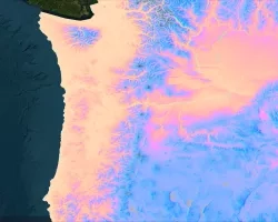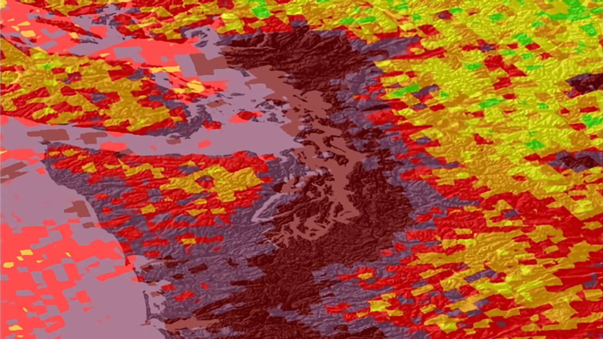
In the Puget Sound region of Washington, high levels of air pollutants put residents’ health at risk by increasing their likelihood of developing critical respiratory conditions. This project used remotely-sensed data to investigate aerosol optical depth (AOD) from NASA satellite sensors including the Terra and Aqua MODerate resolution Imaging Spectroradiometer (MODIS) and European Space Agency Copernicus Sentinel-5 Precursor TROPOspheric Monitoring Instrument (TROPOMI). The team visualized the most recent data in Google Earth Engine (GEE) API to display air pollution trends from Northern California to British Columbia, which will support the Puget Sound Clean Air Agency’s (PSCAA) decision-making processes. The team performed linear regressions using the Multi-Angle Implementation of Atmospheric Correction (MAIAC) algorithm to form a relationship between ground-level microscopic particles (PM2.5) and AOD in the Puget Sound region, validating the relationship using concentration readings taken from Environmental Protection Agency (EPA) air quality monitors. The team utilized estimated PM2.5 and other satellite data to produce a web-based tool and to evaluate the effectiveness of using such a tool for near real-time air quality monitoring within a particular region. The team found that the tool provides useful supplementary data that fills in the gaps of the PSCAA’s air monitoring network.
