Lake Anna Water Resources (Summer 2023)
Team: Olivia Etherton (Project Lead), Caroline Bahun, Alexander Krest, Justin Wilder
Summary:
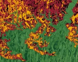
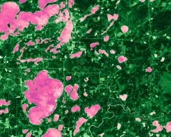
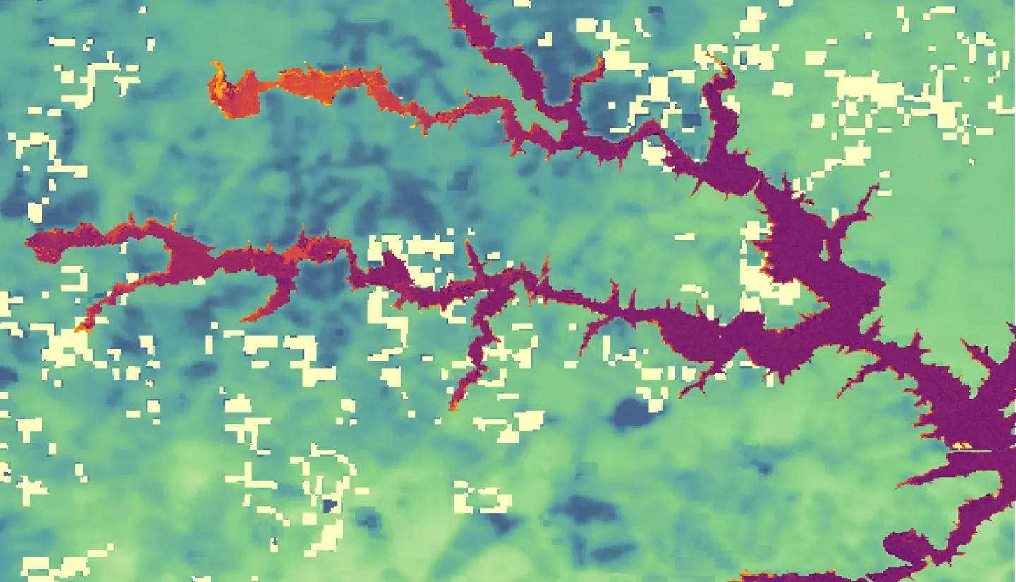
Lake Anna is a man-made reservoir and popular recreation destination that spans over 13,000 acres—9,600 public and 3,400 private—in the Piedmont region of Virginia. Harmful algal blooms (HABs) pose a variety of community and ecological concerns to Lake Anna and are exacerbated by anthropogenic factors such as excess nutrient levels. NASA DEVELOP has partnered with the Virginia Department of Environmental Quality (DEQ) to help monitor cyanobacteria and nutrient pollution indicators across Lake Anna. The project utilized a combination of Earth observations (EO) and in situ ancillary data to identify and monitor algal bloom trends. Landsat 8 Operational Land Imager (OLI), Landsat 9 OLI-2, Sentinel-2 Multispectral Instrument (MSI), and Sentinel-3 Ocean and Land Color Instrument (OLCI) were used to analyze water quality variables such as chlorophyll-a, turbidity, surface temperature, and cyanobacteria. Our ability to validate satellite retrievals was limited by the availability of comprehensive in situ data and records of historic harmful algal bloom events. Additionally, deficient spatial resolutions along with geographically complicated coastal boundaries accentuated the spatial constraints faced in our analysis. Across the Earth observations we examined, our results indicate conditions conducive to the formation of HABs within the upper reaches of Lake Anna. Yet, spatially dependent limiting factors may also influence where these phenomena develop. When used in concert with existing in situ datasets, NASA Earth observations provide relevant stakeholders with more comprehensive analyses with which to engage in enhanced monitoring and watershed management.
Related Impact