Imagen
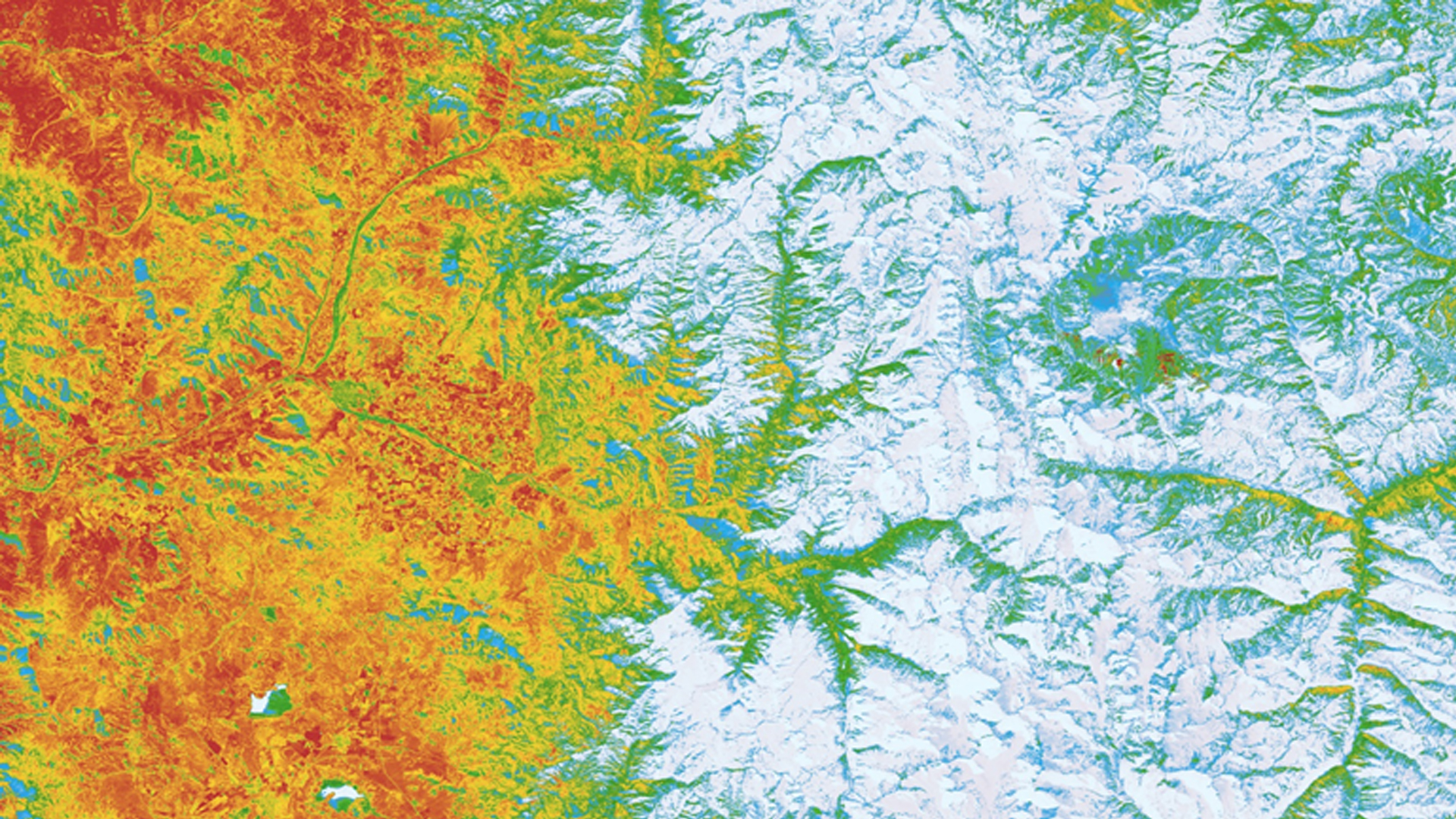
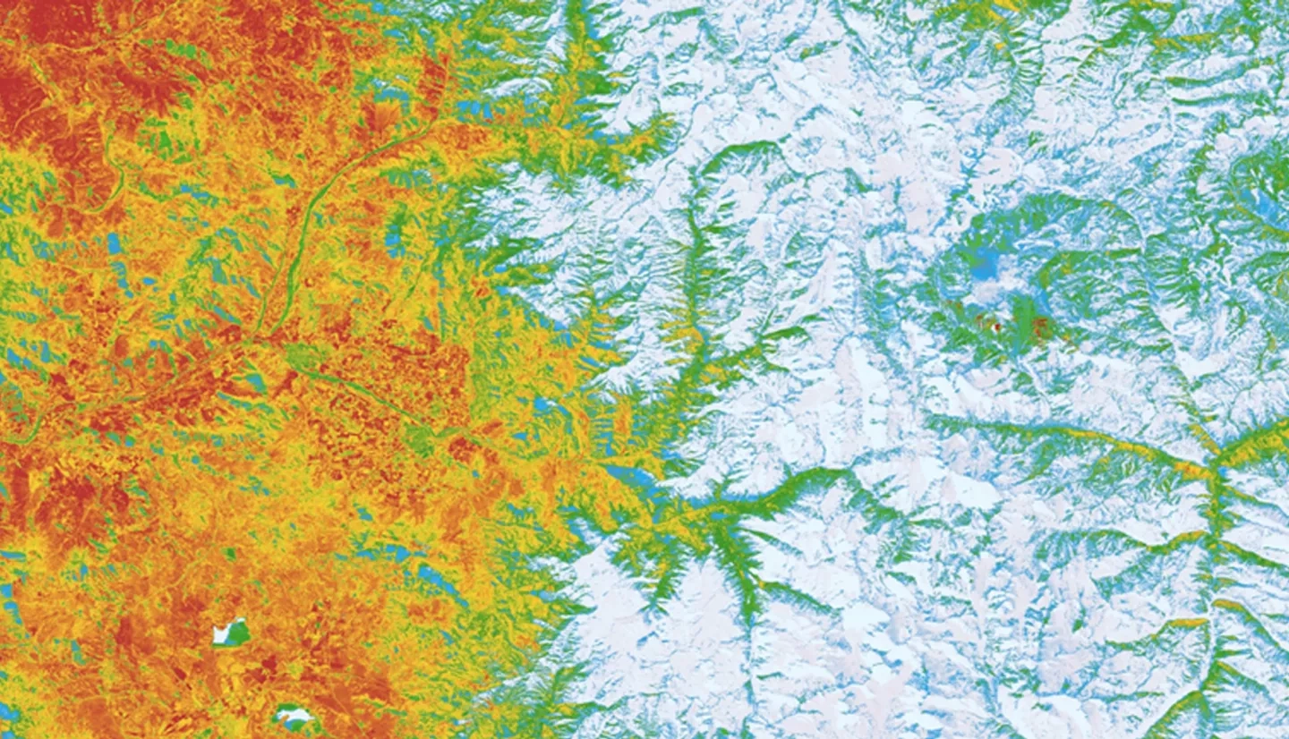
The Aconcagua basin of Central Chile, just north of the capital city of Santiago, is an arid region dominated by the Andes Mountains and heavily dependent on glaciers and seasonal meltwater for its water reserves. Due to the orographic nature of precipitation on the basin, rain events occur sporadically in the late autumn and winter months of the year, accounting for 80% of total annual precipitation, while drought conditions prevail in the austral spring and summers. The Mediterranean-type climate supports agricultural practices such as fruit and vegetable farming, which account for 70% of regional water usage. Around the globe, weather intensification and the rising zero-degree isotherm are poised to threaten glacial retreat or complete wastage during the upcoming decades. The Aconcagua basin is especially vulnerable to these changes as a result of its large population, increasing water demands, and reliance on meltwater during the summer months. In response to the concerns articulated by the Chilean Ministry of Agriculture, the research team created a time series of seasonal NDSI from 1988 to 2017 to quantify glacier change using TerrSet software. The team replicated the time series analysis in near-real time with server-side processing using Google Earth Engine and compared the results of the parallel analyses. Google Earth Engine was also used to build a tool that combines NASA Earth observations with in situ hydrologic data for a comprehensive overview of regional factors affecting agriculture. The analysis tools created provide an enhanced understanding of glacial meltwater and agricultural water usage and can be used to supplement the Chilean Ministry of Agriculture's water resource management decision-making.