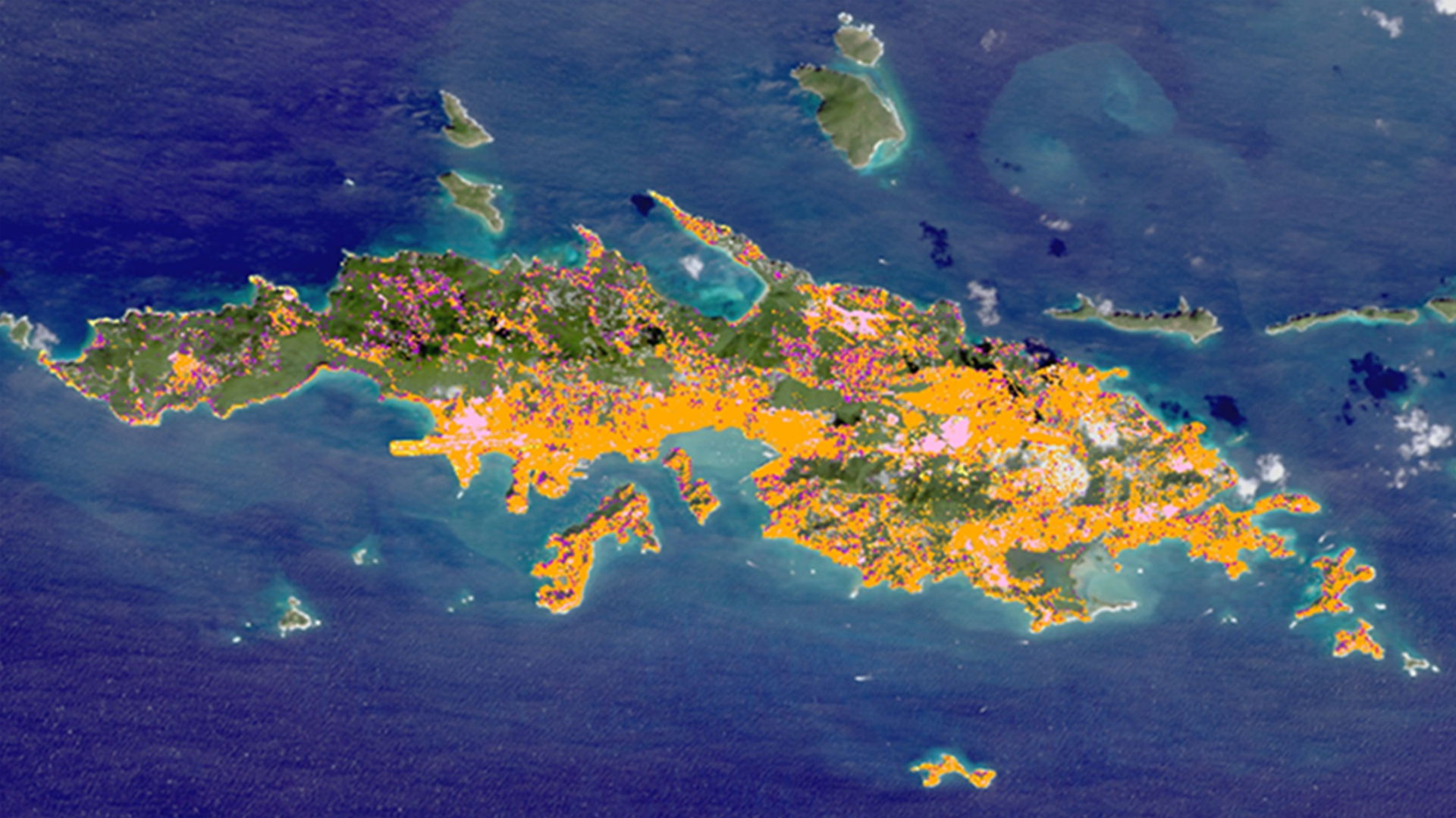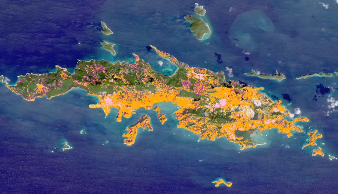
The United States Virgin Islands (USVI) are home to an array of diverse and stunning habitats. The beauty of the islands has continued to attract visitors and residents, which overtime has increased human development and impact. The resulting land-use change increases sediment loads and the flow of pollutants into surrounding nearshore environments such as coral reefs, mangroves, and seagrass beds. Coral reefs, the most diverse marine habitats on Earth, are particularly susceptible to these inputs. Compounded with regional climate-related processes such as rising ocean temperatures and acidification, future land-use change poses a formidable threat to the marine environment. Without a healthy environment, the USVI economy also becomes endangered because it is mainly supported by tourism and recreation. In order to assess land-use change in the USVI, we utilized Landsat 5 TM, Landsat 8 OLI and TIRS, and Sentinel-2 MSI data to map land-use and analyze land cover change dating back to 1985. We then extrapolated the models to the year 2025. Our work will provide the USVI Department of Planning and Natural Resources, Division of Coastal Zone Management (CZM) with a tool to better understand land-use trends, identify at-risk coastal habitats, and strengthen existing knowledge of the link between land-use and coastal ecosystem health.


