Imagen
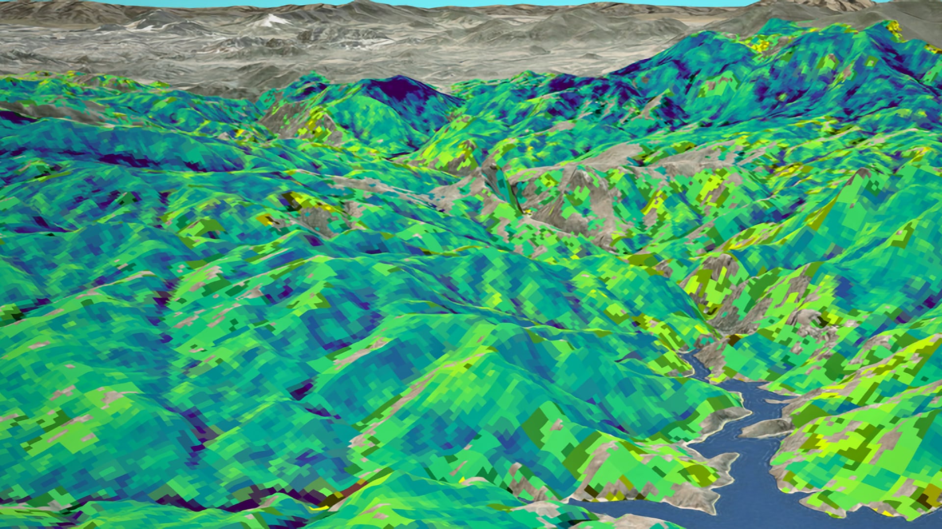
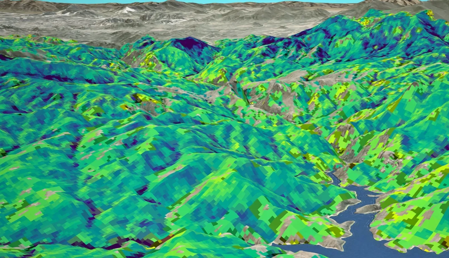
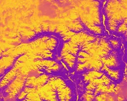
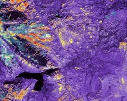
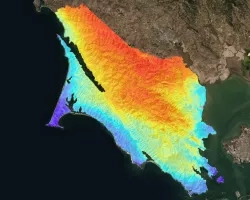
Forest composition and structure in the Colorado Front Range has been altered by changing wildfire regimes. In particular, increased moderate- and high-severity fire significantly reduces forest cover following fire and often results in reduced seedling regeneration. Reduced tree canopy regrowth has chronic effects on upland ecological function and downstream water quality. This project partnered with the US Forest Service to estimate long-term vegetation recovery following four Colorado Front Range fires between 1996 and 2002—the Bobcat, Buffalo Creek, Hayman, and High Meadows fires—using Landsat 5 Thematic Mapper (TM), Landsat 7 Enhanced Thematic Mapper (ETM+), and Landsat 8 Operational Land Imager (OLI). The random forest algorithm was applied to produce maps of percent forest canopy cover for coniferous trees, deciduous trees, and all trees using time-series variables for pre- and post-fire as inputs. Similarly, maps of post-fire seedling regeneration were produced using random forest for coniferous trees, deciduous trees, and all trees using ecological drivers (soil, climate, fire, and topography) and pre-fire remote sensing predictors. Relationships between ecological drivers of post-fire vegetation trajectories were also evaluated. Additional analyses were conducted to (1) assess whether seedlings could be detected by Landsat or synthetic aperture radar (SAR) time-series analysis (2) assess pre-fire and post-fire Landsat variables against pre-fire and post-fire tree cover estimates to evaluate whether magnitude of forest change can be detected. Understanding variables that influence vegetative recovery, vegetation type conversion, and watershed characteristics will aid forest restoration efforts and water quality management.