Florida Water Resources (Summer 2022)
Team: Samuel Perrello (Project Lead), Kyle Stark, Koya Oki, Emily Heltzel
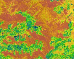
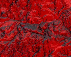
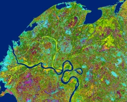
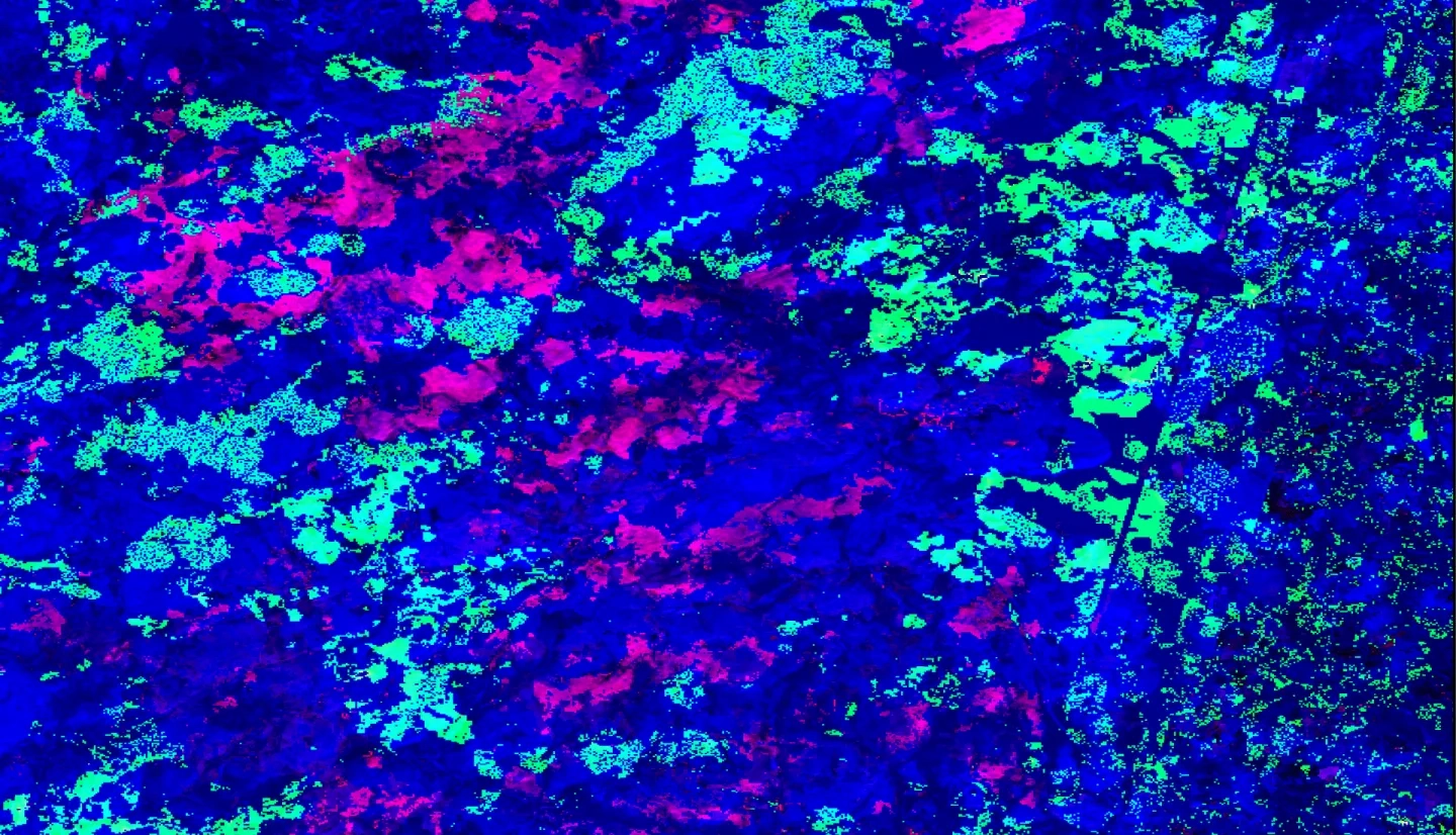
Summary: Since their first sightings in the U.S. in 2002, emerald ash borer beetles (Agrilus planipennis; EAB) have killed millions of native ash (Fraxinus spp.) trees across 35 states. Infected ash stands frequently exhibit complete mortality, with the predicted result being the functional extinction of native ash in U.S. forests. In August of 2020, EAB was discovered in the 6.1-million-acre Adirondack Park. The team’s partners at the Adirondack Park Invasive Plant Program (APIPP) desired ash tree distribution and EAB susceptibility information to help improve EAB bio-control efficiency and apply the methodology to future invasive programs. To assist, the team mapped ash tree distribution using NASA Earth observations from Landsat 7 Enhanced Thematic Mapper Plus (ETM+) and Shuttle Radar Topography Mission (SRTM), plus hyperspectral imagery from the Airborne Visible/Infrared Imaging Spectrometer (AVIRIS). Field data from the Monitoring and Managing Ash (MaMA) project, iMapInvasives and iNaturalist databases, and the New York State Department of Environmental Conservation (NYSDEC) provided ground truthing for mapping and modeling. Results indicate that for ash detection, the team’s Spectral Angle Mapping (SAM) hyperspectral classification is slightly more sensitive but less accurate than multispectral Random Forest (RF) classification, though neither method was above a ~20% detection rate. End products include maps of ash extent derived from both imagery types, a model forecasting future spread scenarios based on current EAB presence, and outreach materials. These products inform APIPP’s management decisions and facilitate public awareness of EAB’s threat to communities within the region.
Related Impact