Imagen
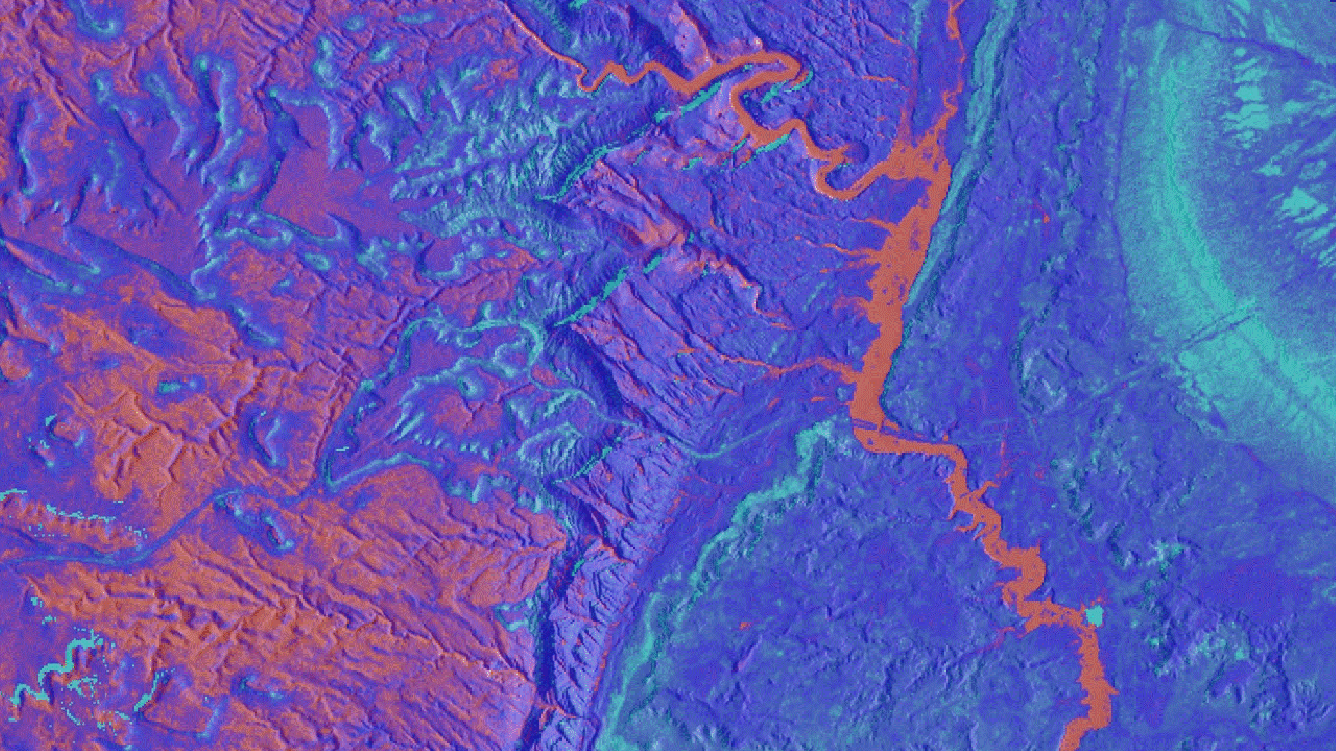
Since 1971, federal agencies have been tasked with managing burros in federally-designated herd management areas (HMAs). Because these areas are often large and remote, obtaining sufficient data on horse and burro populations and habitat preference can be difficult and expensive. In recent years, the United States Geological Survey (USGS) has partnered with the Bureau of Land Management (BLM) to study the population dynamics and habitat preferences of wild horse and burro populations on the Sinbad HMA in central Utah. Researchers at the USGS and BLM hypothesize that surface water is potentially an important factor in wild horse and burro habitat selection, thus these agencies are interested in determining how water availability affects species' movement in both time and space. NASA DEVELOP leveraged NASA Earth observations and pre-existing water availability data to determine the spatial and temporal distribution of water on the landscape. Maps were developed to help researchers create habitat selection models for wild horses and burros on the Sinbad HMA and elsewhere.