Imagen
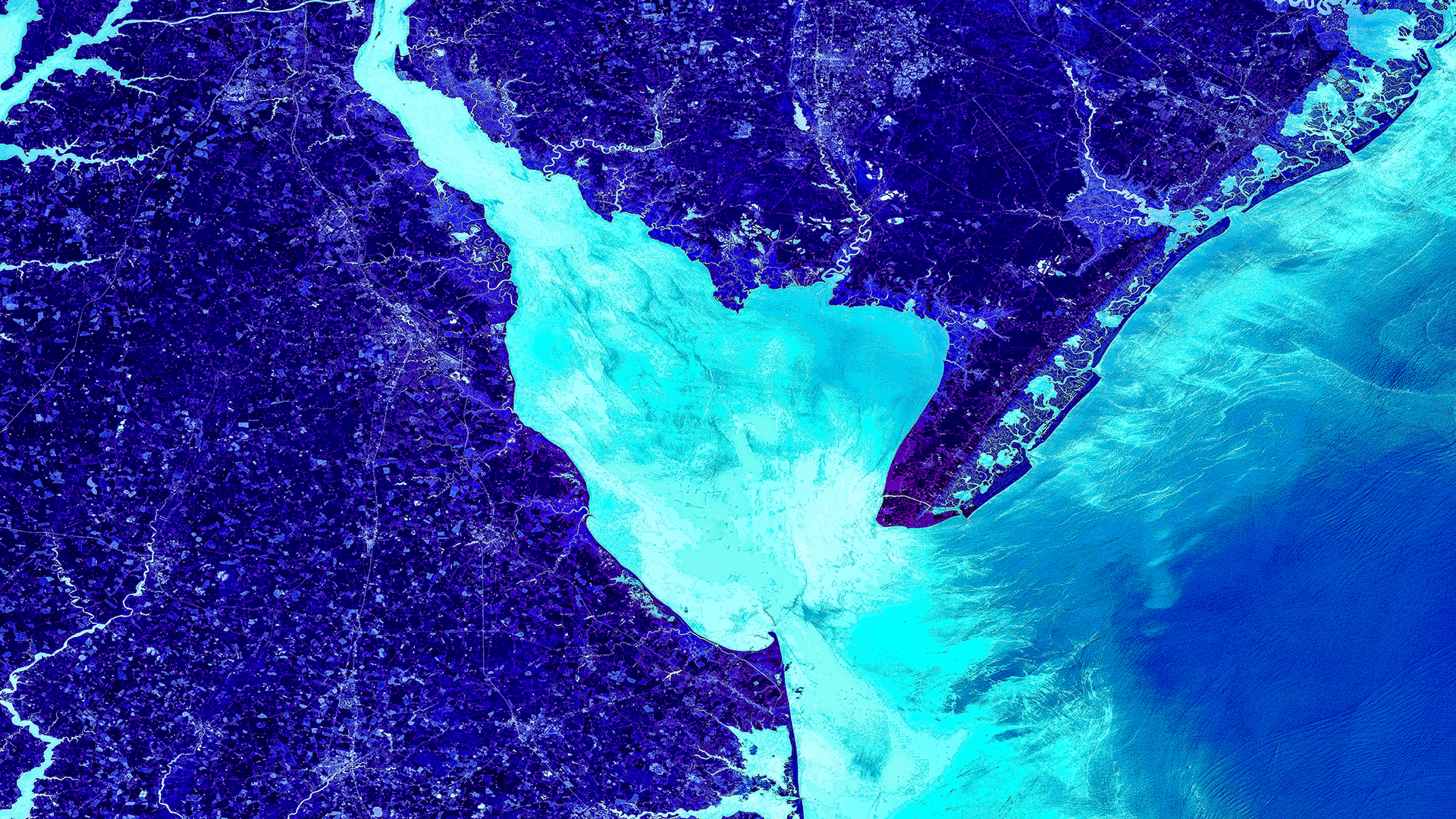
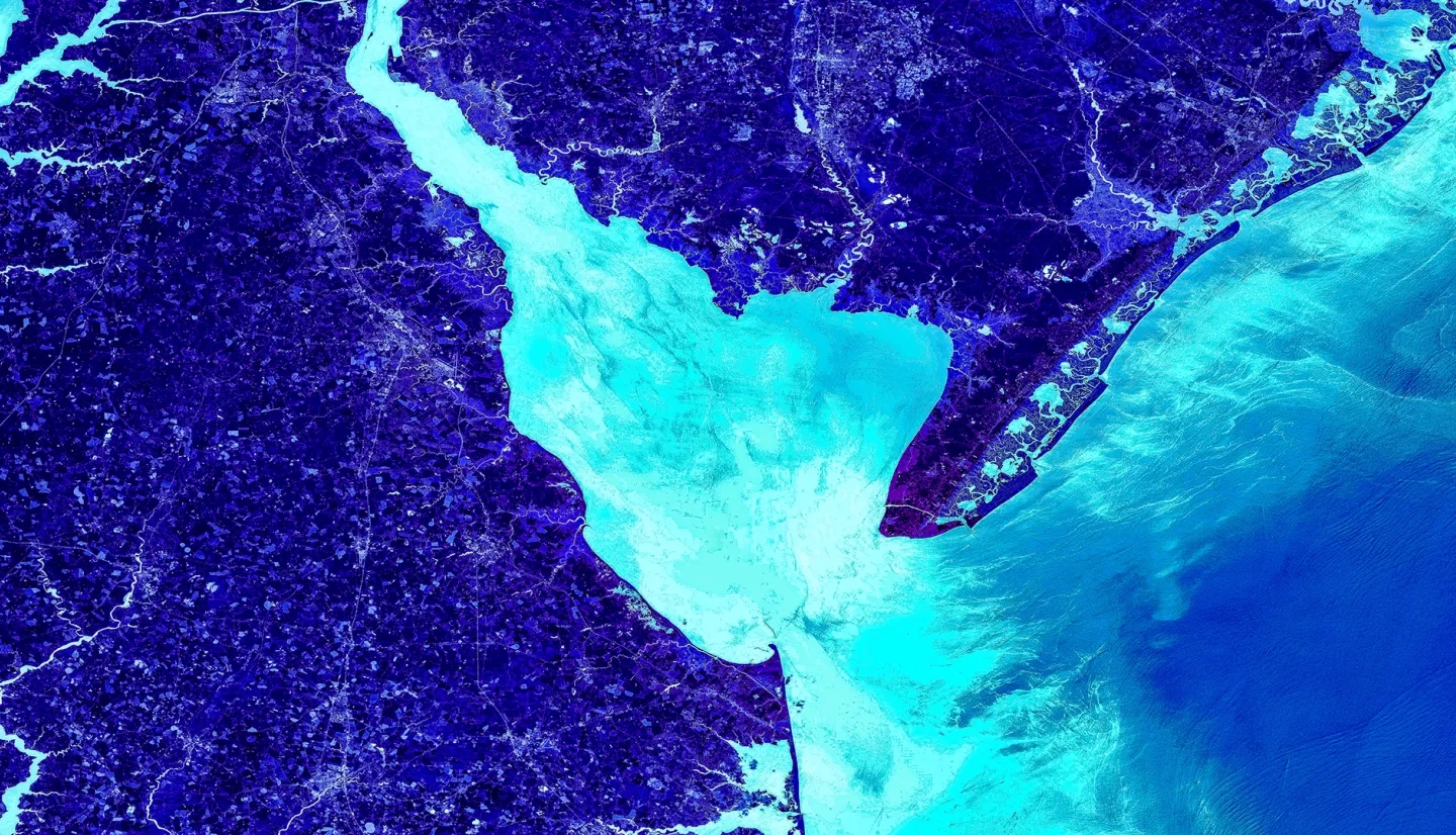
Delaware’s coastline is a vibrant tourist destination and rich, unique habitat for many vulnerable species. Yet, with the lowest mean elevation of any state, this indispensable stretch of land is threatened by numerous geological and climatic forces, including coastal erosion, sea level rise, storm surge, and subsidence. The state’s Department of Natural Resources and Environmental Control (DNREC) has, therefore, served as a diligent combatant of coastal land loss since the 1950s. In partnership with the DNREC, this team utilized Landsat 8 Operational Land Imager (OLI), Landsat 7 Enhanced Thematic Mapper Plus (ETM+), Landsat 5 Thematic Mapper (TM), and the Terra Advanced Spaceborne Thermal Emission and Reflection Radiometer (ASTER) in combination with ancillary datasets to create a suite of time-series maps that identified shoreline extent changes in response to management projects and to generate a coastal land loss susceptibility map. A statistical analysis incorporated these maps with project-specific information and socioeconomic data using geographically weighted regressions to evaluate the performance of management strategies and identify socioeconomic-related concerns. These maps can be used by the DNREC to support the development of future coastal protection and replenishment strategies through the evaluation of technique effectiveness and identification of at-risk areas. Finally, these products were implemented into a story map that demonstrated the unique geological circumstances that put Delaware at risk and showcased the impacts of the state’s efforts to protect it. The team found that there was a statistically significant shift of land to water between 1988 and 2018. The Prime and Bombay Hook National Wildlife Refuges were designated as the most susceptible areas to land loss. The team also identified a correlation between the number and timing of beach nourishment projects and decrease of land loss.