Imagen
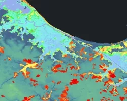
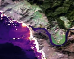
Chondria tumulosa, a newly discovered red alga, was observed in low abundance in 2016 but has since proliferated and is now smothering and decimating vast expanse of coral reefs in Manawai, located in Papahānaumokuākea Marine National Monument (PMNM). If the spread persists, the outbreak of this cryptogenic species could potentially cause region-wide ecosystem degradation. In coordination with the U.S. Fish and Wildlife Service, Marine National Monuments of the Pacific and the National Oceanographic and Atmospheric Administration (NOAA) Office of National Marine Sanctuaries’ Papahānaumokuākea Marine National Monument, this project created a tool to analyze oceanographic conditions (sea surface temperature (SST), chlorophyll-a, water velocity, salinity, turbidity) across the Monument that could potentially be driving the algal spread. The Google Earth Engine tool enabled the partners to visualize oceanographic conditions and gather time-series graphs utilizing Aqua and Terra Moderate Resolution Imaging Spectroradiometer (MODIS), Suomi National Polar-orbiting Partnership (NPP) Visible Infrared Imaging Radiometer Suite (VIIRS), Sentinel-3 Ocean and Land Colour Instrument (OLCI), Hybrid Coordinate Ocean Model (HYCOM) and NOAA's Climate Data Record in a user-friendly interface. The team used in situ SST data from subsurface temperature recorders provided by the partners to validate the tool's accuracy. Preliminary statistical analysis of MODIS data found warming trends in SST in Manawai as well as increased chlorophyll-a levels during the summer months in contrast to the control (non-infected) Lalo atoll. The tool did not aim to classify algal presence due to limited availability of higher resolution satellite imagery but instead enabled PMNM managers to monitor conditions that may be conducive to algal growth around the monument to make informed decisions and mitigation practices.