Imagen
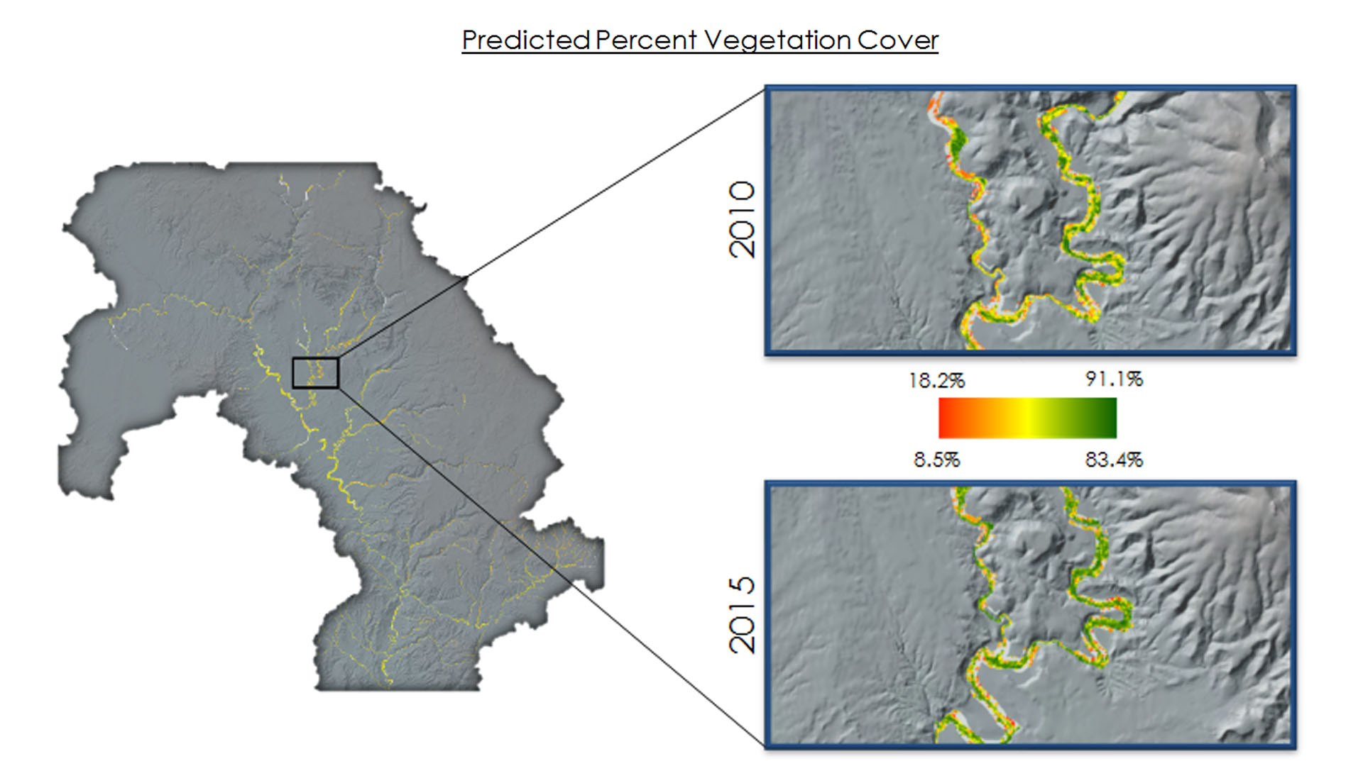

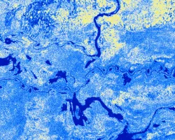
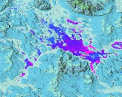
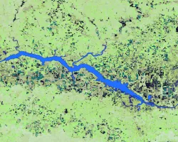
Riparian corridors in the semiarid Colorado River Basin act as an interface between terrestrial and aquatic systems, play an important role in maintaining biodiversity and wildlife habitat, and contribute to controlling erosion and buffering pollutant and nutrient runoff. However, the proliferation of invasive species such as Tamarisk (Tamarix spp.) within these corridors disrupts biodiversity and essential ecological and hydrogeomorphic processes, including water balance and sediment and nutrient loads. This project utilized terrain data from SRTM, spectral and thermal indices derived from NASA's Landsat 5, Landsat 7, and Landsat 8, and multispectral imagery from Sentinel-2 to map the current maximum potential riparian corridor area, riparian vegetation, and invasive Tamarisk cover in the Verde River watershed, which feeds major Colorado river tributaries in the lower Colorado River Basin. Potential riparian corridors and Tamarisk cover were mapped for both 2016 and 2006 to enable partners at the Walton Family Foundation to prioritize future ecological restoration areas as well as to evaluate the efficacy of previous management efforts in the Verde watershed. In addition, the team produced a tutorial detailing project methodology that can be replicated by partners to support future efforts to manage riparian habitat and invasive species across the entire Colorado River Basin.