WET Water Resources (2023 Spring)
Team: Lori Berberian (Project Lead), Kaely Harris, Mitch Porter, Emma Waugh
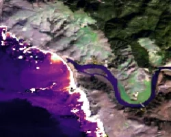
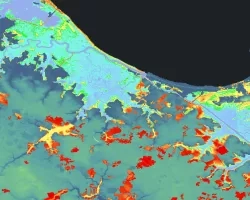
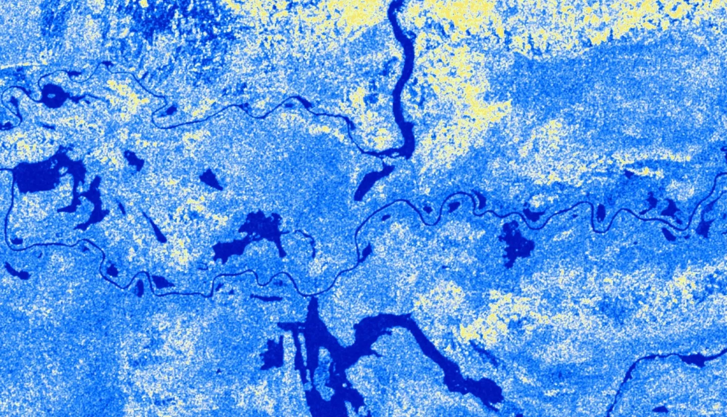
Summary: Wetland ecosystems are annually or seasonally wet transition zones between land and water. They provide a range of ecosystem services such as water filtration, flood mitigation, and carbon sequestration, as well as hosting biodiversity hotspots. Although they fulfill fundamental physical and natural processes, wetland extent and health are threatened by anthropogenic influences related to urbanization, population increase, pollution, and climate change. Recognizing the need to quantitatively monitor changes in these recently threatened ecosystems in a timely and cost-effective way, we developed a Google Earth Engine (GEE) Python API tool for automated wetland extent mapping using optical and radar satellite sensors that can be applied globally. The tool will significantly improve wetland change analysis and monitoring as SAR data provides high resolution (5-10 m) imagery unaffected by cloud cover and light availability (day vs. night), common limitations for other remotely sensed sensors. The tool utilizes Copernicus Sentinel-1 C-band and NISAR L-band synthetic aperture radar (SAR) imagery. During image preprocessing, we applied a Terra Moderate Resolution Imaging Spectroradiometer (MODIS) snow product to determine regional snow coverage, which affects land classification sensitivity. Calibration and validation were conducted through a historical change and sensitivity analysis of the Sudd watershed located in central Sudan. The tool was the first of its kind, as it enables NISAR data processing through an open-source GEE repository, further expanding and improving the utility of NASA Earth observations and contributing to NASA open science initiatives. We anticipate the tool will be used by researchers and practitioners interested in wetland monitoring and management.
Related Impact