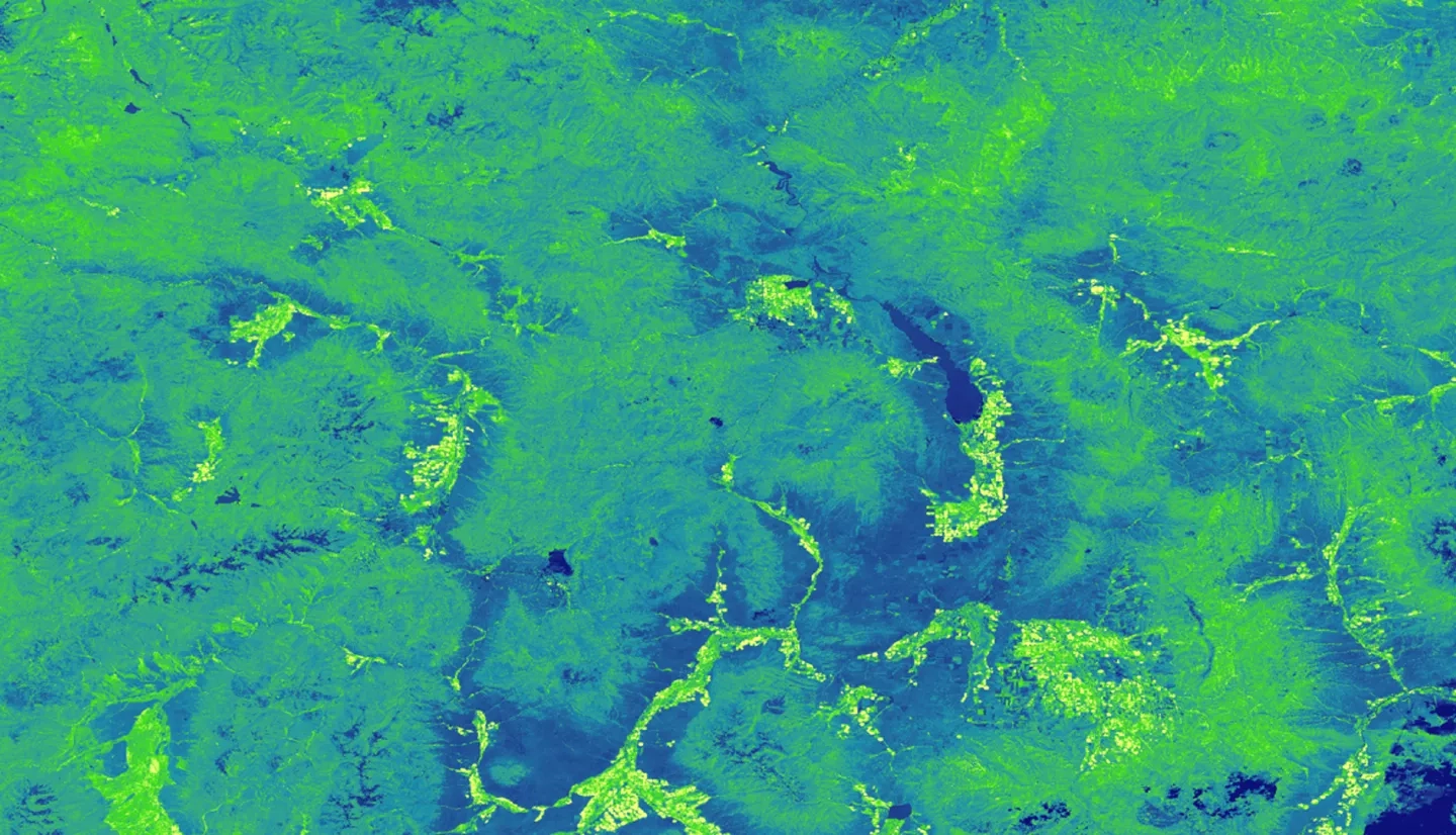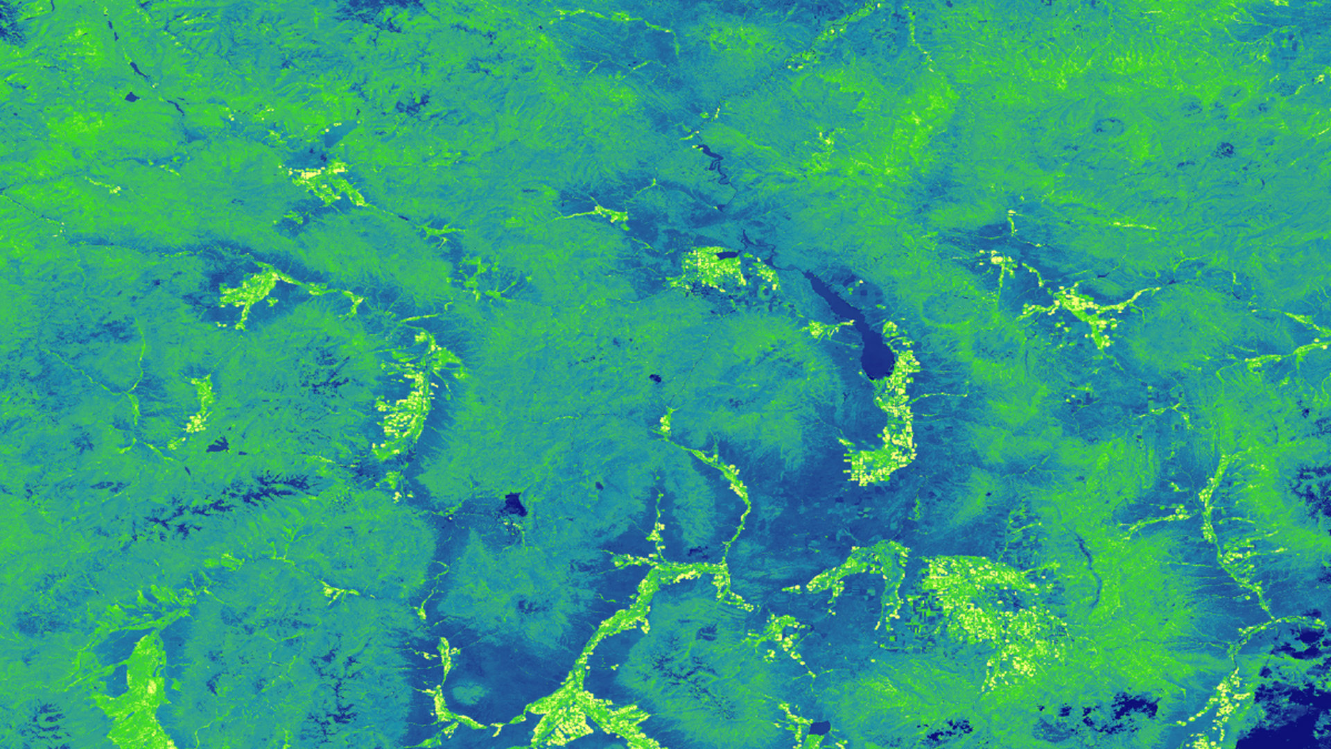
The mountain pine beetle (Dendroctonus ponderosae) is an endemic species and a natural driver of forest ecosystems. This beetle has impacted millions of acres of coniferous forest in the western United States since the early 2000s. Forest ecosystems provide critical habitat for wildlife, filter air, improve water quality, offer erosion control, and sequester carbon. In addition to their ecological importance, pine forests provide economic services; they are sources of timber production and serve as a backdrop for recreation. Drought, coupled with warming temperatures, has increased the vulnerability of forests, specifically lodgepole pine (Pinus contorta), to bark beetle epidemics. Though recent attacks have largely subsided, major outbreaks in the future are likely due to the cyclical nature of bark beetle attacks. The forests at greatest risk to future mountain pine beetle outbreaks are those with higher proportions of live lodgepole pine host trees. This project identified these vulnerable forests by mapping existing live lodgepole pine. The team utilized Google Earth Engine to map forest structure across Colorado, Idaho, Montana, and Wyoming using topographic data from NASA's Shuttle Radar Topography Mission (SRTM) in conjunction with spectral imagery from Landsat 5 Thematic Mapper (TM), and Landsat 8 Operational Land Imager (OLI) and Thermal Infrared Sensor (TIRS). These resulting lodgepole pine map products will inform forest monitoring efforts and assessment of the feasibility of using beetle-killed wood as a biofuel for end users at the Bioenergy Alliance Network of the Rockies (BANR).
