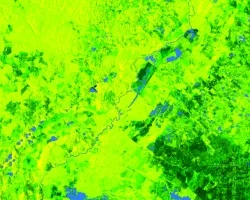
Tidal wetlands, such as marshes, are among the Chesapeake Bay's most protective natural features. Not only do they provide vital ecological services such as breeding grounds and water purification, but wetlands also deliver direct benefits to coastal communities through water absorption, wave attenuation, and sediment stabilization. Thus, marshes can buffer vulnerable communities from erosion, flooding, and storm damage. The Maryland Department of Natural Resources partnered with The Nature Conservancy (TNC) to conduct a Coastal Resiliency Asssessment to identify coastal habitats that provide protective benefits to vulnerable coastal communities. While healthy marshes were determined to have high risk-reduction potential, the quality of coastal habitats on the Maryland shoreline is difficult to assess without historical context. The goal of this study was to utilize NASA Earth observations to analyze trends in marsh health on the Maryland coast of the Chesapeake Bay from 1984 to 2017 and to forecast changes in marsh health from 2017 to 2030. Vegetation, soil, and water indices calculated from Landsat and Sentinel-2 imagery were used to detect changes in marsh health over the past 33 years. A change detection algorithm was used to detect changes in marsh elevation and location of high marsh and low marsh over the study period. The Maryland Department of Natural Resources and The Nature Conservancy will use these results to supplement their Coastal Resiliency Assessment and develop more informed decision-making plans regarding restoration and conservation in the Chesapeake Bay.


