Maya Forest Water Resources II (Fall 2021)
Team: Stephanie Jiménez (Project Lead), Karen Alvarez, Rene Castillo, Daniel Nohren, and Stephanie Lawlor
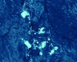
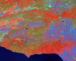
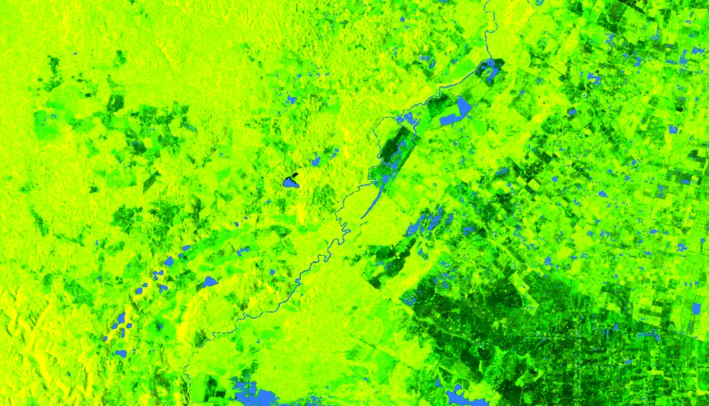
Summary: To monitor seasonal flooding within the tri-national Maya Forest, the team completed the methodology started by the Summer 2021 term to analyze changes in inundation dynamic throughout 2017 and 2020. The team analyzed inundation dynamics in Google Earth Engine (GEE) using Earth observation products from the Landsat 8 Operational Land Imager (OLI), Advanced Land Observing Satellite (ALOS) Phased Array type L-band Synthetic Aperture Radar (PALSAR) 2, and International Space Station (ISS) Global Ecosystem Dynamics Investigation LiDAR (GEDI). The team improved the landcover classification using the Random Forest algorithm in GEE by adding canopy height data derived from GEDI, elevation and slope data from Copernicus, monthly ScanSAR data from 2017 and 2020, and additional multispectral band ratios from Landsat 8. The pixel-based land cover classification produced an overall accuracy of 92%. Experiments measuring inundation extent using L-band SAR included comparing results with a priori knowledge, topography datasets, and auxiliary datasets. We iteratively tested and found threshold values for identifying forested inundation using the ratio for HH divided by HV. The resulting methodology and products helped end users from Belize’s Land Information Center (LIC) and Forest Department, Guatemala’s Center for Monitoring and Evaluation (CEMEC), and Mexico’s El Colegio de la Frontera Sur (ECOSUR) manage land and water resources and protect communities.
Related Impact