Imagen
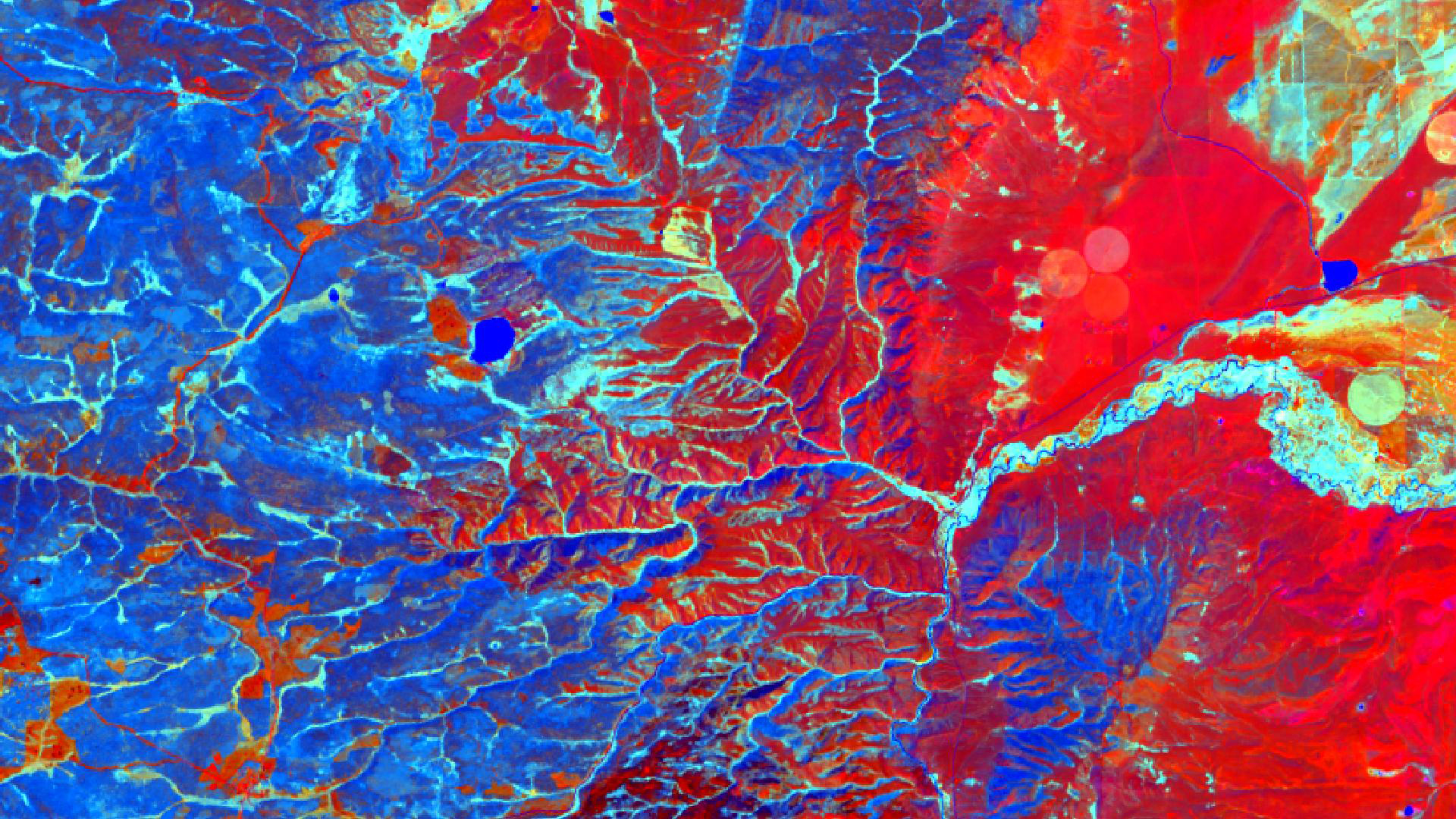

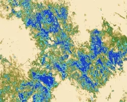
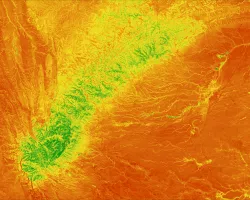
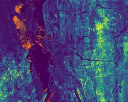
The Medicine Bow National Forest (MBNF) consists of approximately 1,383,790 acres of forested land, grassland, and sagebrush steppe in southeastern Wyoming. Cheatgrass (Bromus tectorum), an invasive plant species in the Western US, occurs in the grasslands throughout MBNF. Cheatgrass is known to rapidly colonize disturbed sites and dramatically alter historic fire regimes and nutrient/water dynamics as well as outcompete native plant species that are important forage for mule deer (Odocoileus hemionus) and elk (Cervus canadensis). In 2012, the Squirrel Creek Fire burned approximately 10,587 acres of land within MBNF, exacerbating the spread of cheatgrass. In 2015, the Wyoming Ecological Forecasting DEVELOP team identified areas of high cheatgrass abundance within the fire boundary in order to guide US Forest Service (USFS) herbicide spraying efforts to reduce cheatgrass in 2016. This research used Landsat 8 Operational Land Imager (OLI) and Sentinel-2 MultiSpectral Instrument (MSI) data to create a 2019 probabilistic cheatgrass occurrence map. This map allowed an analysis of the effectiveness of aerial spraying to inform future land management techniques for the USFS. Based on the results of the Generalized Linear Model, we found that treated areas decreased in cheatgrass cover by 36% while untreated areas increased in cheatgrass cover by 6%, suggesting that herbicide treatment has been effective.