Team Members: Karen Chapple (University of California, Berkeley); Zoe Hamstead (University of California, Berkeley
Executive Summary: The onset of climate change has increased awareness of the importance of green space in cities, which mitigate heat extremes, absorb flood waters, act as fire breaks, support urban agriculture, and provide much needed recreational space for residents. Yet, a rich literature has established not only the economic benefits of such green space, but its potential for “green gentrification,” as new investments in urban greenery increase property values and rents, thereby displacing residents. Moreover, cities often support the redevelopment of informal open space, heavily utilized by locals for community gardens, urban pathways, and sports fields, since it is considered vacant or underutilized land. Thus greening trends place vulnerable urban residents in double jeopardy: first, they risk losing access to existing open spaces, and second, they may not be able to stay in their communities. Yet, the relative importance of various drivers of displacement variability as well as specific contribution of green space remains insufficiently understood at regional scales relevant to development planning and climate adaptation. In this project, we examine the relationship of green space, both formal and informal, in the San Francisco Bay Area, California, USA to property prices and rents, household mobility, and the redevelopment pipeline in order to determine first the impacts of proximity to such space on community stability, and second the potential that such space will be eliminated.
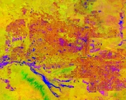
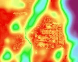
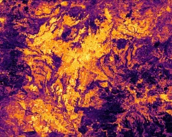
We are conducting the research using publicly available remote sensing imagery emphasizing NASA satellite products and census data coupled with proprietary (Infogroup and Infutor) data on household mobility. This proprietary data is available at a parcel level, which allows us to use remote sensing to identify informal green spaces in the immediate vicinity of housing units. Using the 9-county Bay Area as our case allows us to examine a variety of contexts, including core urban areas undergoing high-intensity redevelopment, and peripheral urban areas seeing the conversion of open space and farmland in the wildland urban interface. The final outcome of this study will be a data integration product in the form of a web-based interactive map, which will allow residents to examine the location of greenery in relation to housing market dynamics and current and planned development.


