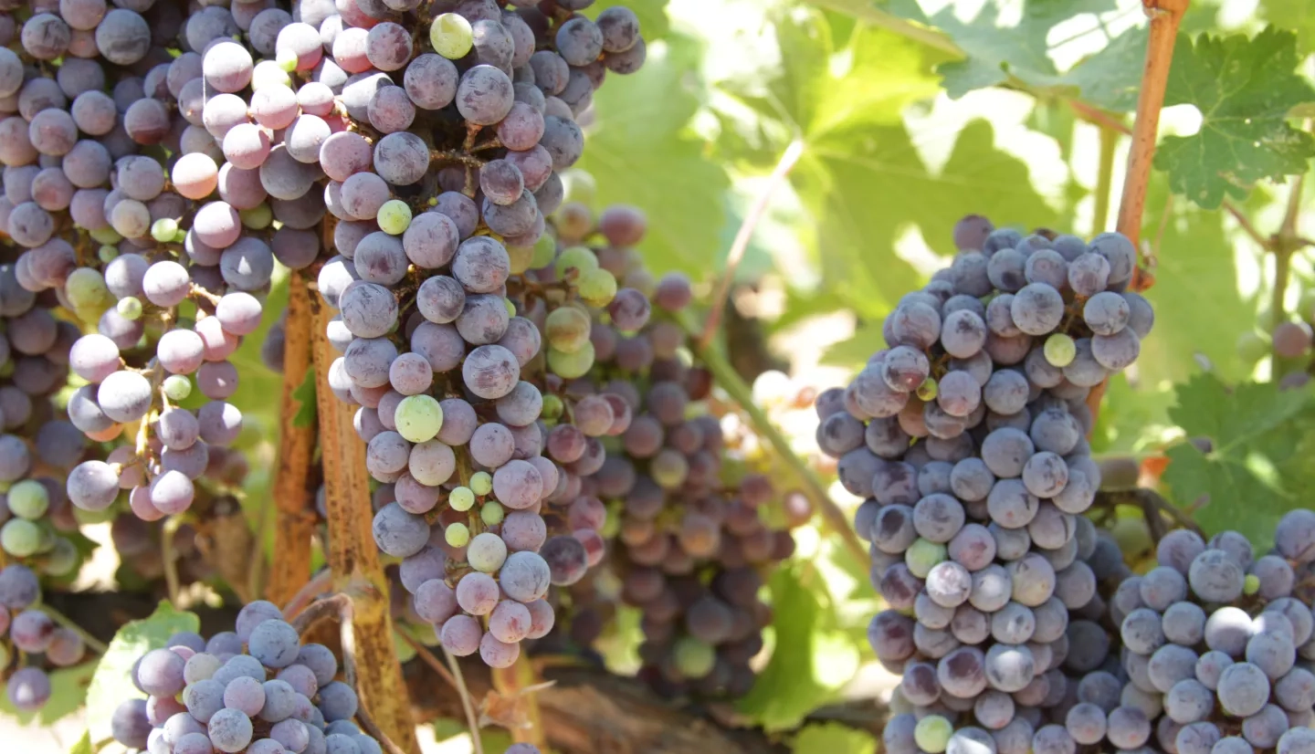
When it comes to tracking and conserving water for their vineyards, E&J Gallo — the largest producer of California wines — is using an out-of-this-world approach.
The Grape Remote sensing Atmospheric Profile and Evapotranspiration eXperiment (GRAPEX) is a collaboration between E&J Gallo, the U.S. Department of Agriculture Agricultural Research Service and NASA’s Earth Applied Sciences Program. It gives vineyard managers access to NASA satellite data to better understand soil and vine moisture levels, track rates of vine water use and support accurate calculation of irrigation requirements within each vineyard.
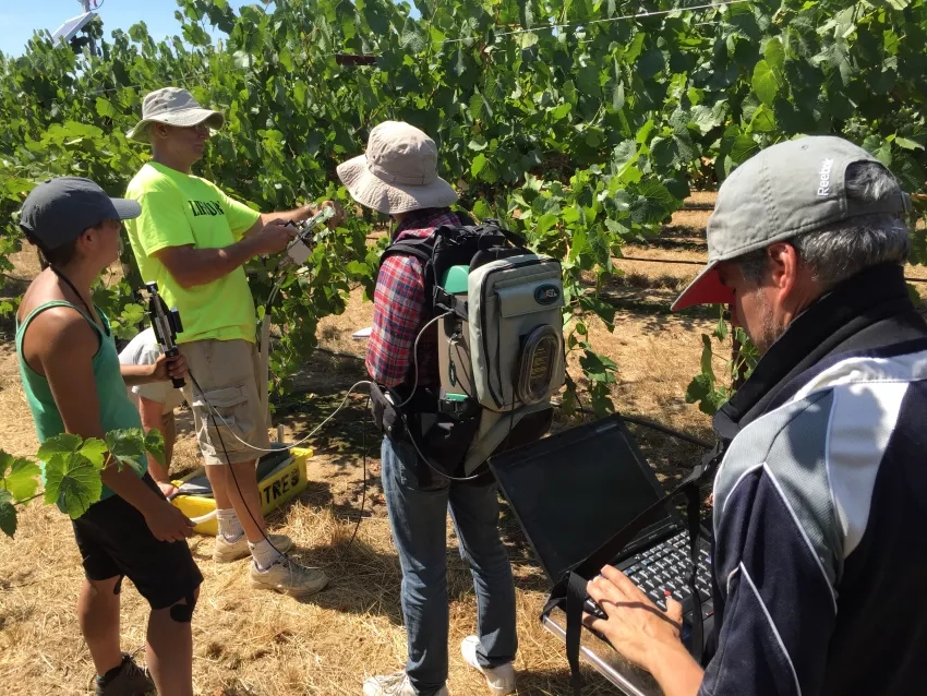
The project has created an “evapotranspiration (ET) toolkit” that includes temperature and visible light data from the Landsat series of satellites, as well as information from NASA’s Suomi NPP satellite’s VIIRS instrument, the MODIS instruments on the Terra and Aqua NASA satellites and information from the GOES satellite program, a joint effort of NASA and NOAA.
By incorporating these data into their water management decisions, E&J Gallo says they may be able to reduce the amount of water applied to each of their vineyards by up to 25%.
Read the full story on NASA.gov, "Raising a Glass in Wine Country to Better Water Management."
This story is part of our Space for U.S. collection. To learn how NASA data are being used in your state, please visit nasa.gov/spaceforus.


