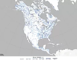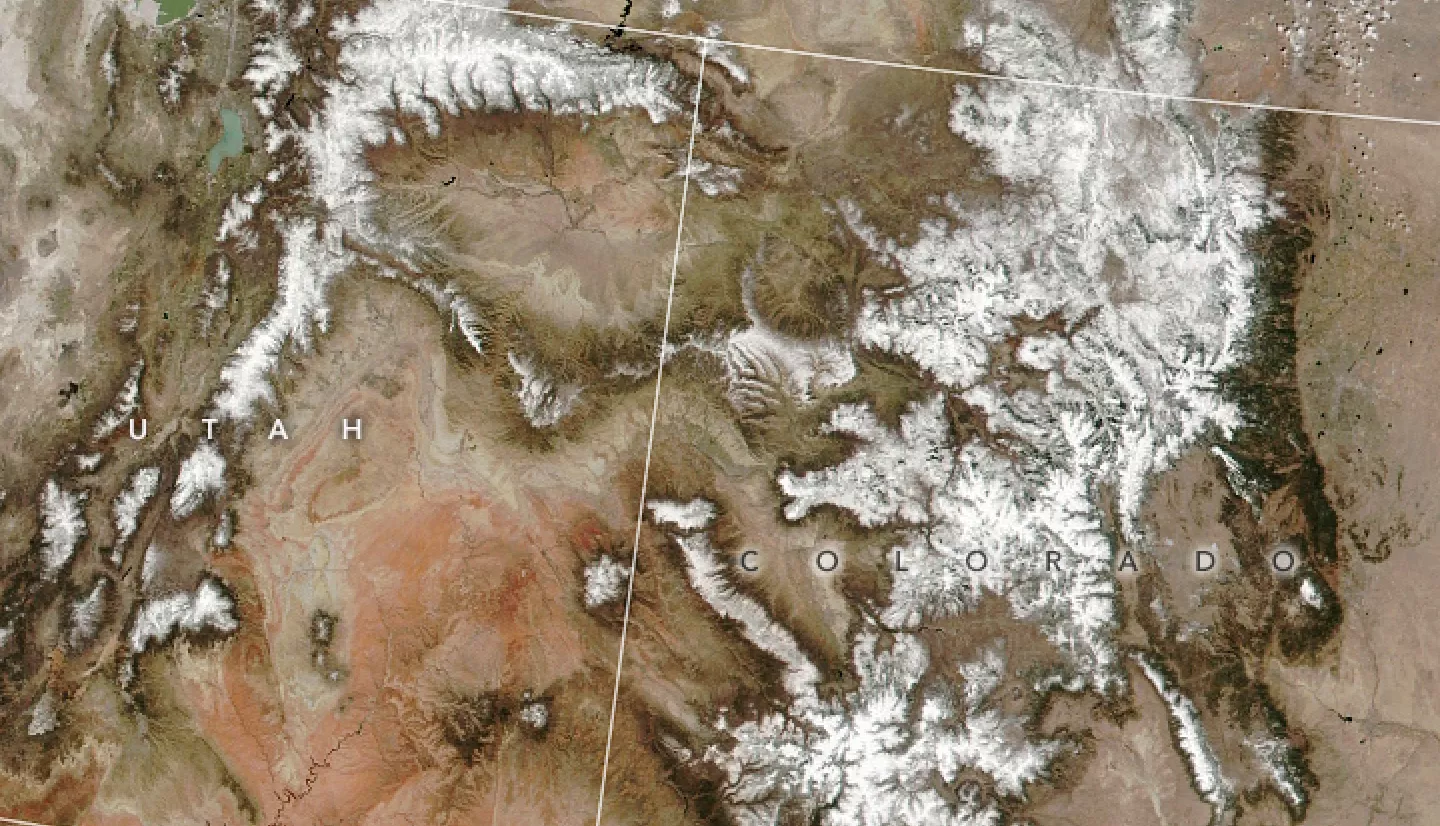
Snowpack in the Rocky Mountains provides a steady supply of water for millions of people. Amid recent droughts, water managers need accurate forecasts of how much water they can expect each year. NASA satellite data can help improve those estimates.
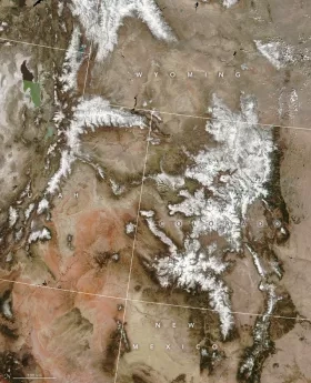
Snow depth is an important variable to understand how much water should melt out of snowpack each year. Though satellites can locate snow, they cannot yet measure its depth. Manual measurements have been taken in the region since the early 1900s. Today, over 900 monitoring stations in the western U.S. measure snow depth as part of the SNOTEL network.
A NASA-affiliated research group has combined these ground measurements with satellite data on snow location and altitude. The team have been able to generate close to real-time estimates of how much liquid water is stored in snow.
For example, in April 2022, the team estimated that most of the Rockies' snowpack held between 46 and 95 percent of the average water stored in snow over the last 20 years. Their models draw on data from instruments like the Moderate Resolution Imaging Spectroradiometer (MODIS) on NASA’s Terra satellite. This information can help water managers across the western U.S. forecast streamflows, reservoir storage levels, and potential wildfire conditions.