Displaying 11 - 14 of 14
![Snow persistence data were processed into snow zones from Terra MODIS 500m resolution data from 2001-2020. 2021 30m resolution rangeland biomass data from the RPMS website. RPMS data (brown and black) are derived from Landsat 5 TM, 7 ETM+, 8 OLI, and 9 OLI-2. The image displays snow persistence zones, with intermittent, transitional, and persistent snow zones in orange, light blue, and dark blue respectively. The image includes parts of the Sawatch and Elk Mountains.](/sites/default/files/styles/lis/public/2023-05/2023Spring_CO_WesternSlopeAg_Website_image.jpg.webp?itok=A7yts3_b)
Topic
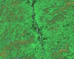
Southern Rockies Western Slope Agriculture (2023 Spring) Team: Adelaide Gonzalez (Project Lead), Rachel Buchler, Max VanArnam, Stephanie Willsey Summary: Over the last decade, the southern...
![The data for this image comes from NASA satellite Landsat 8 Operational Land Imager. Normalized Difference Vegetation Index and Cropland Data Layers were used to create the image. The black, brown, and bright green specks represent the different crops growing near Wheeler Lake Watershed in North Alabama. NDVI and cropland data can be used to predict and evaluate the effects of flash drought on agricultural crops.](/sites/default/files/styles/lis/public/2023-05/2023Spring_MSFC_SoutheastUSAg_WebsiteImage.jpg.webp?itok=zZsHeQGk)
Topic
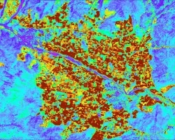
Southeast US Agriculture (2023 Spring) Team: Kindrea Gibbons (Project Lead), Michaela Gooch, Quinton Deppert, Casey Mills Summary: A flash drought refers to the rapid onset...
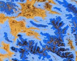
![NDVI processed imagery from Landsat 9 Collection 2 Tier 1 TOA Reflectance for the whole year of 2022. The composite image shows the vegetation landscape of western Bhutan, focused on the districts of Punakha, Paro, and Wandgue Phodrang. The band combinations highlight forest cover in green, paddy fields in light brown, waterbodies in gray, and barren lands and settlements in black.](/sites/default/files/styles/lis/public/2024-01/2023Sum_MSFC_BhutanAgIII_WebsiteImage.jpg.webp?itok=DlIoUvUN)
Topic
Bhutan Agriculture III (Summer 2023) Team: Sonam Seldon Tshering (Project Lead), Garab Kuenphen Dorji, Ugyen Thinley Dorji, Sangay Choden, Tenzin Lhaden Summary: The Bhutan Agriculture...
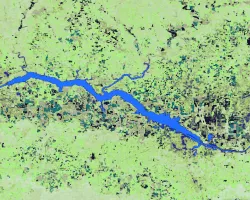
![Processed bands displaying NDVI from 30m Landsat 8 OLI data. The average 2022-2023 growing-season NDVI displayed is representing a heavy agriculture region within the Aconcagua River Basin in Central Chile. Blue to green colors represent areas of bare ground or water while yellow to dark red colors display densely vegetated regions. NDVI when compared to hydrology parameters can indicate heavily irrigated farmlands.](/sites/default/files/styles/lis/public/2024-01/2023Sum_PUP_AconcaguaAg_Websiteimage.jpg.webp?itok=LEUwJuA_)
Topic
Aconcagua Basin Agriculture (Summer 2023) Team: Javiera Canales (Project Lead), Daniela Quintero, Carmen Petras Summary: The Aconcagua basin has experienced a prolonged drought since 2010...