Share icon
Published

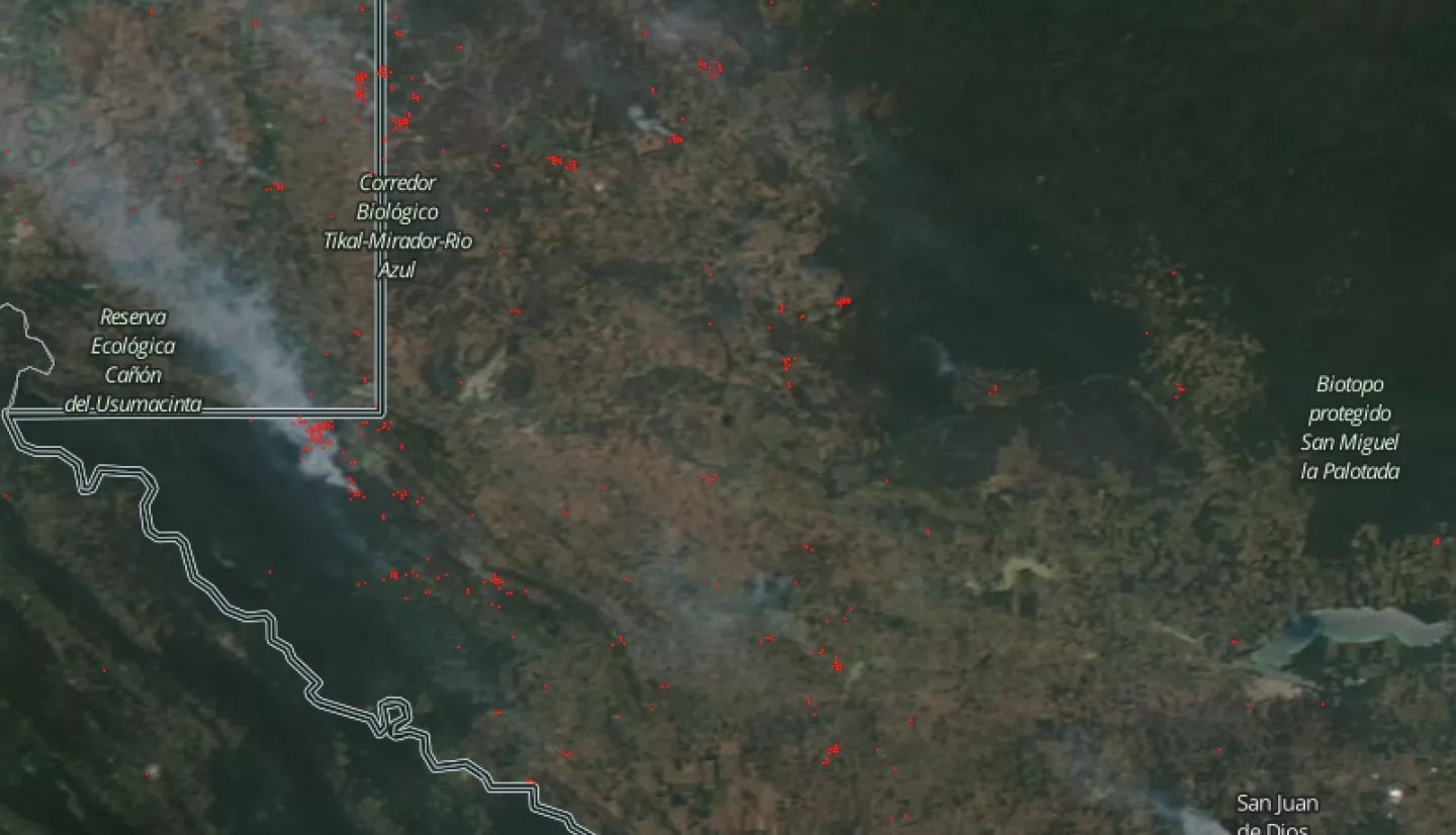
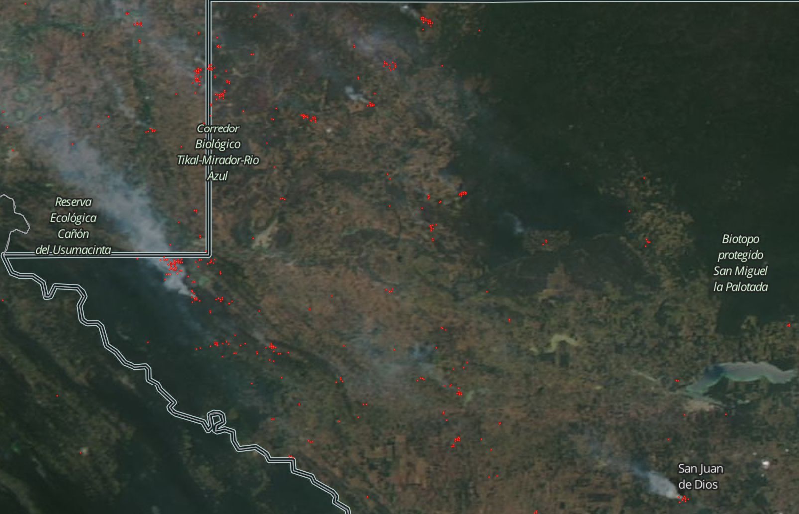
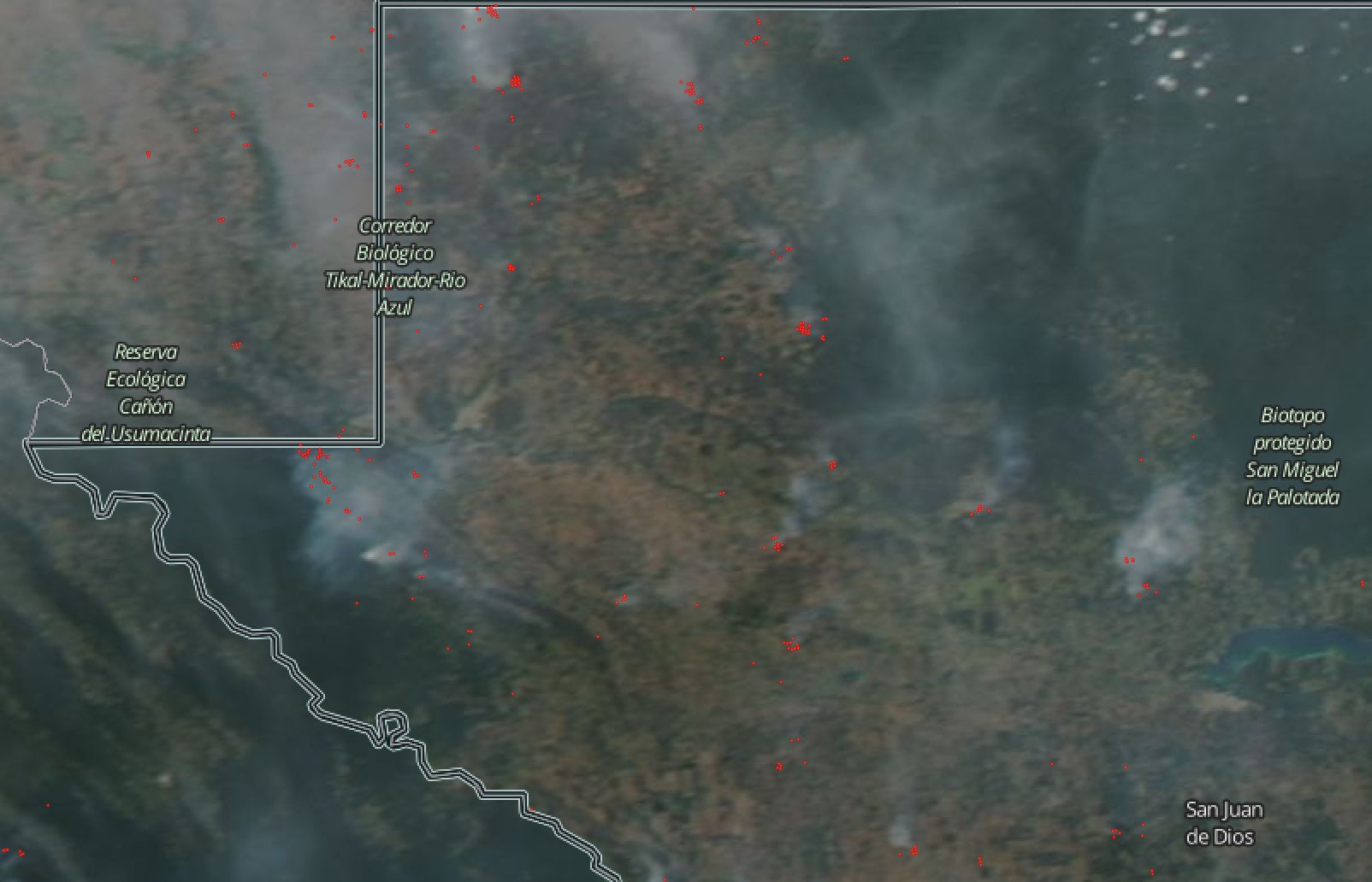
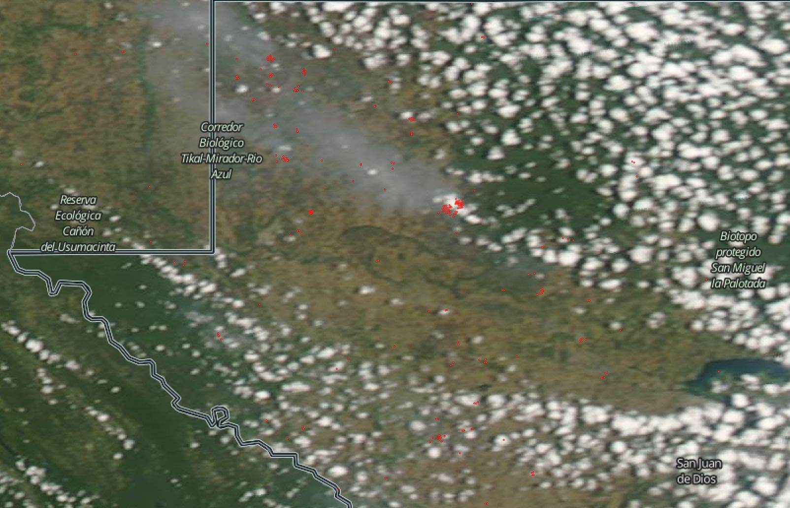
Fires started to burn in early March in the protected regions of Sierra del Lacandón National Park (also Laguna del Tigre), which is located in the tropical rain forest in the north west of Guatemala.  

Moderate Resolution Imaging Spectroradiometer (MODIS) and Visible Infrared Imaging Radiometer Suite (VIIRS) data are being used to locate fire lines that are difficult to see from the ground, and these data are also being used to analyze long term fire trends.  One Guatemalan weekly report highlighted the improved value of VIIRS data to locate small fires and the valuable long–term prospective offered by MODIS.

Image showing smoke streaming from wildfires in Guatemala
Aqua true-color image overlaid with active-fire detections, shown in red, taken from MODIS (onboard Terra and Aqua) and VIIRS (onboard Suomi-NPP), showing smoke streaming from wildfires in Guatemala on April 1st 2017.
Image showing smoke streaming from wildfires in Guatemala
Aqua true-color image overlaid with active-fire detections, shown in red, taken from MODIS (onboard Terra and Aqua) and VIIRS (onboard Suomi-NPP), showing smoke streaming from wildfires in Guatemala on April 3rd 2017.


Image showing active-fire detections
Aqua true-color image overlaid with active-fire detections, shown in red, taken from MODIS (onboard Terra and Aqua) and VIIRS (onboard Suomi-NPP), showing smoke streaming from wildfires in Guatemala on April 9th 2017.

Related Impact

Story
News